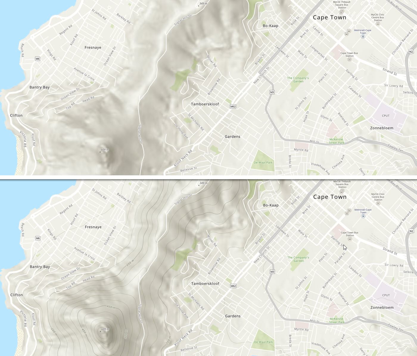
The newest feature available in Esri Vector Basemaps is a tile set of contour lines. We’re including contours in a new multisource tile layer, as part of a web map named Topographic (with Contours). This detailed content covering the globe is available as a beta release for viewing through the new ArcGIS Online Map Viewer Beta, ArcGIS Pro 2.5 and newer, and Runtime apps built on 100.5 and newer. Users on older versions of the clients will only see the topographic map layers, not the additional contour layers.
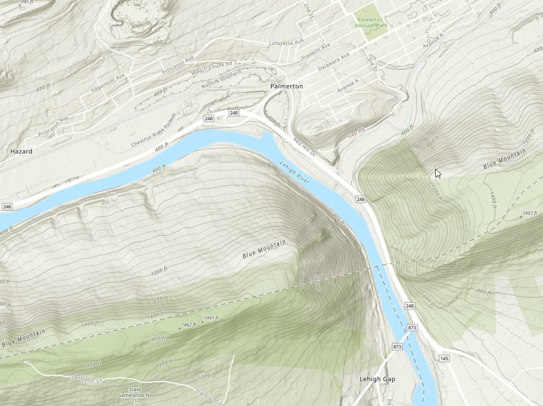
Esri Vector Basemaps provide users with a rich collection of map styles to choose from. The vector tile format allows for a nearly unlimited amount of customization of styles. Although available in ArcGIS Online for the past few years, we continue to roll out new features to enhance the experience.
These vectorized contours are published as their own hosted tile layer (World_Contours_v2). You can add them to any map, including your own custom style by using the World Contours tile layer.
In our new Topographic (with Contours) web map, the contours are not just draped on top of the map. In fact, the contours are not even added to this web map as a separate layer. The contours are included within a single topographic vector tile layer, integrated with the rest of the basemap features. The contours start displaying at LOD 11/1:~144K scale.
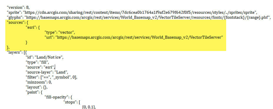
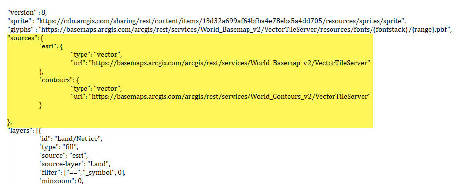
The new World Topographic Map (with Contours) vector tile layer has a root.json file that includes two vector tile sources. This tile layer with multiple sources is an example of a multisource tile layer. Displaying two or more vector tile sources in a single tile layer, i.e. as a multisource tile layer, is possible when using the new Map Viewer Beta.
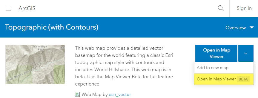
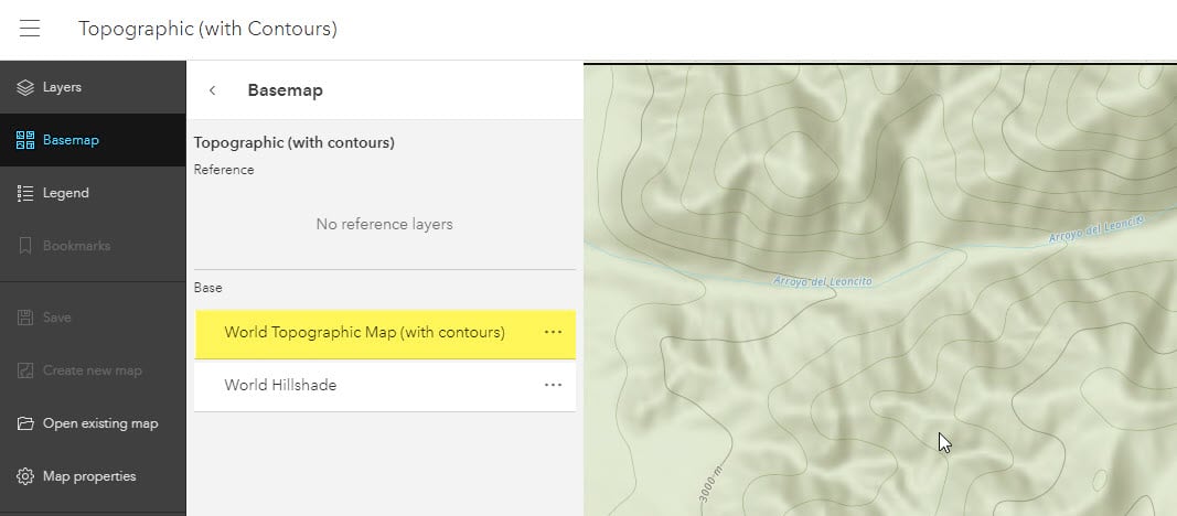
The JSON code in a multisource tile layer includes paths to two or more vector tile services. In our World Topographic Map (with Contours) layer style, the two sources are named esri and contours. The esri source includes all the features drawing the topographic map. This includes land color, water fill, park polygons, roads, and map labels. The contours source includes features that draw the contour lines and contour labels.
The benefit of a multisource tile layer is that the features in the map are drawn from both sources and displayed in the proper display order. This is achieved by including the JSON layers from both set’s vector tiles. Layers to draw contour lines are ordered in their proper position of the code, above the land tints and below the water lines. Layers for the contour labels are ordered with other map labels near the end of the root.json code.
We encourage users to migrate and use the Esri vector basemaps. The addition of contours brings parity between the vector topographic map and raster topo version in terms of map content. Review our plan for moving many Esri raster basemap services into mature support in the next year.
How else can users take advantage of multisource tile layers?
Users can create a VTPK in Pro from their own data and publish it as a hosted tile layer. It can be combined with any of the Esri Vector Basemap styles, much like our contours. By editing the style JSON and adding the additional source and feature layer code, user-generated tiles can be integrated in the map display at any level of the map stack. For example, users could position the code for their content below other map labels without having to use separate base and reference layers. Using a multisource tile layer, there is only one map layer rendering all the content.
Users can create their own tiles in Pro and combine any multiple number of layers in the same coordinate system and tiling scheme.

What’s next for the Esri Vector Basemaps?
A vectorized hillshade layer to replace the current raster service that’s included in vector maps such as Topographic or Street Map (with Relief). The multisource Topographic (with Contours) tile layer will include three vector sources: esri, contours, and hillshade, providing a full vector map solution.
Multisource tile layers are a new addition to the display and use of vector basemaps in ArcGIS Online. The ability to combine these multiple layers into one single vector tile layer allows a better representation of basemaps, especially in the case of our Topographic map with Contours, with the addition of our vectorized contour layer.
Bookmark this Esri blog link to keep current on vector basemap releases.

Article Discussion: