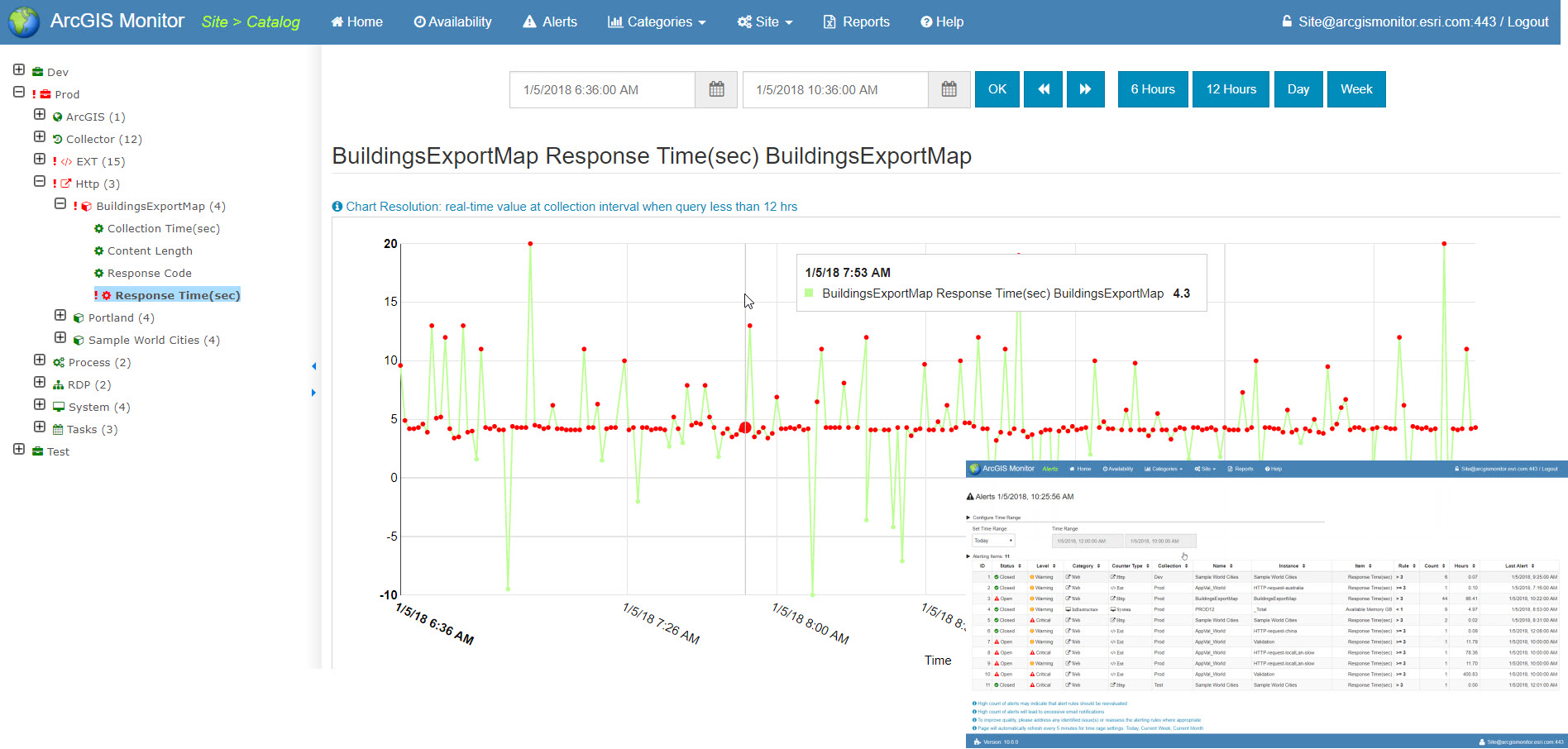
Medical doctors use tools to monitor patients’ health, diagnose problems, and help determine how to treat illnesses. Now, IT administrators and GIS managers can use a new tool, ArcGIS Monitor, to perform those activities on ArcGIS implementations.
Esri is super excited to announce the launch of ArcGIS Monitor – a tool uniquely tailored to maximize your GIS and IT infrastructure investment by monitoring the health of your ArcGIS Enterprise implementations.

The primary goal of ArcGIS Monitor is to help you efficiently and effectively operate and manage your ArcGIS technology implementations by providing actionable insights into your system usage and performance. Deploying ArcGIS Monitor in your system will:
- Maximize GIS investments through more effective system operation and reduced administration costs.
- Improve system performance and end-user satisfaction.
- Provide timely detection of potential and existing system infrastructure and operation problems that facilitates rapid resolution.
- Increase understanding of actual system utilization for “right sizing” components and improves accounting.
- Collect actionable, quantifiable metrics, such as system uptime, load, over and under-utilized resources, and usage trends over time.
- Generate reports that improve communications among GIS, IT, business owners, and senior management.
The design and development of ArcGIS Monitor are based on real-world Esri Professional Services experiences to help customers diagnose and resolve system performance problems, and achieve a deeper understanding of actual system resource usage. It monitors both software and infrastructure components of an Esri Platform implementation.
Key Features
ArcGIS Monitor features holistic monitoring of all system tiers, including:
Web activity
- Application
- Logging
- HTTP
Software components
- ArcGIS Server
- Portal for ArcGIS
- ArcGIS GeoEvent Server
- Geodatabase and ArcGIS Data Store
Database
- Oracle
- SQL
- PostgreSQL
Cloud deployments
- AWS
Infrastructure
- Windows: CPU, Mem, Network, Disk
- Linux: CPU, Mem, Network, Disk
Usage
- Web Logs
GeoInfo
- Map of user locations
Extensions
- Customized collectors or alerts, which can be created by users
Licenses
- Collection Time
- Total and Number/Percentage Used
- Users
How it works
ArcGIS Monitor collects data at regular intervals (1, 5, 30, and 60 minutes) and aggregates it hourly and daily. It’s capable of high-volume data collection and statistical analysis, and retains data at three levels:
- Raw Data Retention (15 – 90 days)
- Raw Data Statistics Retention (perpetual)
- Aggregate Data Retention (2 – 5 years)
The program performs non-intrusive monitoring and metrics collection – there are no agents in your system. And it produces actionable reports, either from templates or customized for your organization, at the frequency you choose (real-time, hourly, daily, and monthly). The program will provide alerts and notifications to your administrator.
ArcGIS Monitor helps bridge the gap between IT and GIS. Its comprehensive capabilities are uniquely tailored to work with ArcGIS software, and can fit into any organization’s existing monitoring ecosystem.
We’re excited to release ArcGIS Monitor on January 17! To learn more, please visit the following resources:
ArcGIS Monitor System Requirements
ArcGIS Monitor Help Documentation
Article Discussion: