Does your organization use a network dataset for routing and transportation network analysis? This could be a network dataset that you manage and maintain yourself from your organization’s authoritative street content. It could be a network that you built from TomTom or HERE or Open Street Map data. Or it could be StreetMap Premium.
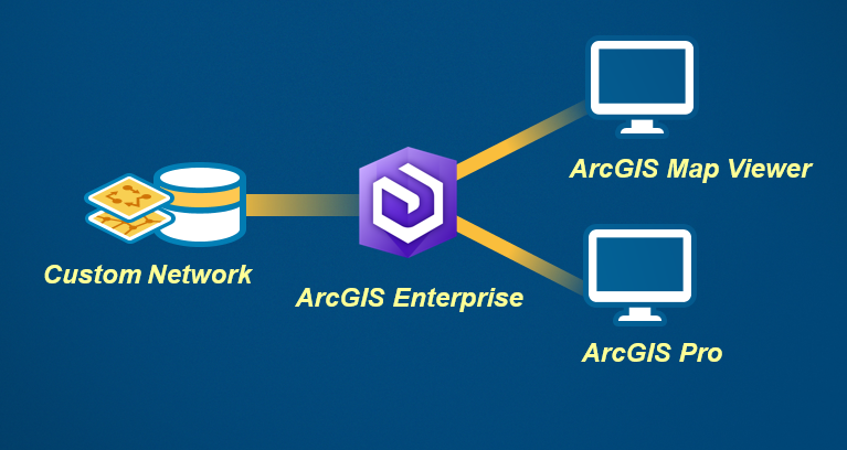
If you have a network dataset, make it accessible to the rest of your organization! You can achieve this by publishing routing services to ArcGIS Enterprise running in your own infrastructure, and then use these services from within ArcGIS Pro, ArcMap, Map Viewer, and across all ArcGIS Apps!
Why would you want do to this?
- Consistency. Everyone in your organization should be looking at the same thing, and routing on the same street representation. You need your defined travel modes to be used consistently.
- Accuracy. You likely have the latest and greatest street information for your organization – whether it’s using your County maintained street centerlines, or using StreetMap Premium Custom Roads with your own private and leased roads.
- Leverage your data investment. You’ve spend the time (data editing and maintenance) or money (acquiring from a commercial provider). Make use of it.
How?
Using the Network Analysis Services Publishing Tools, publish directions, routing, and logistics services to ArcGIS Enterprise. These tools streamline the entire process of publishing multiple services and configuring them as utility services in your portal for use in various apps. They are available today on GitHub.
Once configured, in ArcGIS Pro when you sign into your portal, the Network Analysis ribbon will use these services and work with your street data. When you get directions or perform analysis in Map Viewer, it will use your street data. This is true for any other client app that connects to your portal.
Today, these publishing tools work with ArcGIS Enterprise 10.5 or higher.
Try it out! Download here.
If coming to San Diego next month for the 2017 Esri User Conference, come see this presentation.


Article Discussion: