Discover how to leverage your full GIS capabilities in the field in Chapter 8 of The ArcGIS Book
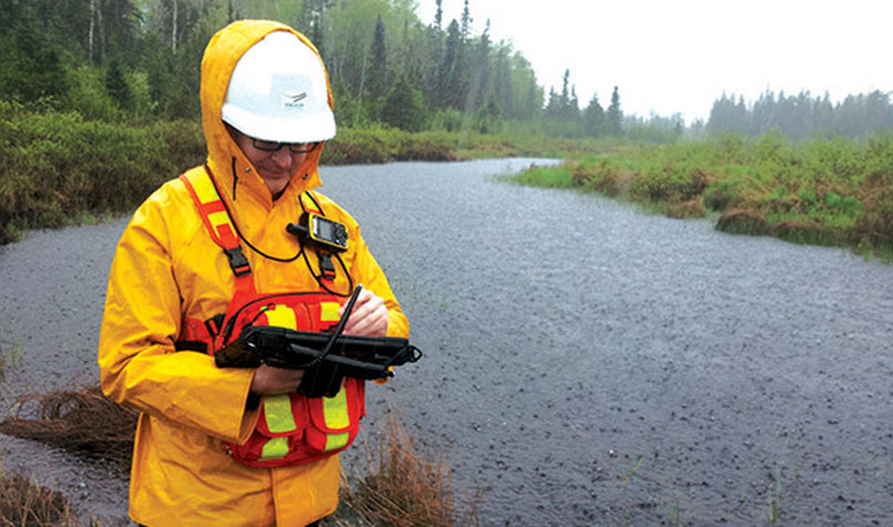
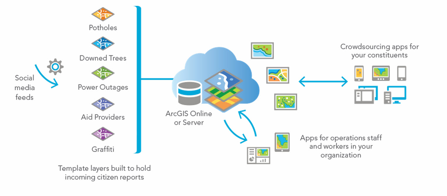
With mobile GIS, your GIS maps and apps go with you wherever you go. The integration of the smartphones and tablets with GIS has many implications. For example, you can collect data in the field and update enterprise information. From your phone, you can access enterprise information for your current location for deeper knowledge and awareness. This is the big idea discussed in chapter 8 of The ArcGIS Book.
With mobile GIS, your users can access, share, and apply a world of information about their location and activities. These come to life on your phone through a series of apps provided by the ArcGIS developer community as well as by Esri and its partners.

This chapter features two apps: Collector for ArcGIS and Survey123. Collector for ArcGIS enables organizations to use maps to gather data in the field and synchronize the field data with their enterprise GIS. Collector increases efficiency and accuracy. Keeping your enterprise GIS data current takes less time, and recording errors associated with paper workflows are eliminated.

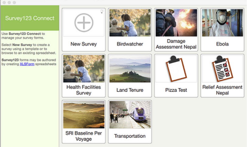
Survey123 provides an end-to-end workflow for designing and conducting surveys in the field, and ensuring the results are geotagged and synchronized with your enterprise GIS. It has been used for intelligent information gathering on the spread of Ebola in West Africa and for recovery operations after the series of devastating Nepal earthquakes earlier this year.

Jeff Shaner, an Esri product manager focused on developing new mobile and web technology offerings, is the thought leader in this chapter. Shaner recounts his experience working with several emergency response agencies on the scene immediately after the Deepwater Horizon oil spill in the Gulf of Mexico, and how it informed software development efforts.
“The problem wasn’t a lack of maps or GIS. These agencies were already among our most sophisticated users. The problem was in appropriately sharing and keeping each other updated as new information flowed into the operations center,” said Shaner. “It’s heartening for me to know that these same agencies are now equipped with Collector, among a whole suite of new applications that equip response teams with more efficient rescue and recovery capabilities,” he said.

The Quickstart in chapter 8 walks you through the steps to create and share a map for data collection. The Learn ArcGIS lesson in this chapter involves automating the process of transferring fire hydrant inspection data into a GIS. First, you’ll publish the hydrant inspection data from ArcMap to ArcGIS Online. You’ll then create a web map from the published layer that you can share with your workforce. Lastly, you will use Collector for ArcGIS to input field observations directly into your web map, automatically updating it with the latest data. You will build skills in the following areas:
- Publishing a web layer
- Creating a web map
- Sharing maps with workers in the field
- Using Collector for ArcGIS
Ready? Take GIS into the field.
Article Discussion: