This post is a short recipe for a longer lesson that you can complete on the Learn ArcGIS website. You’re in the right place if you:
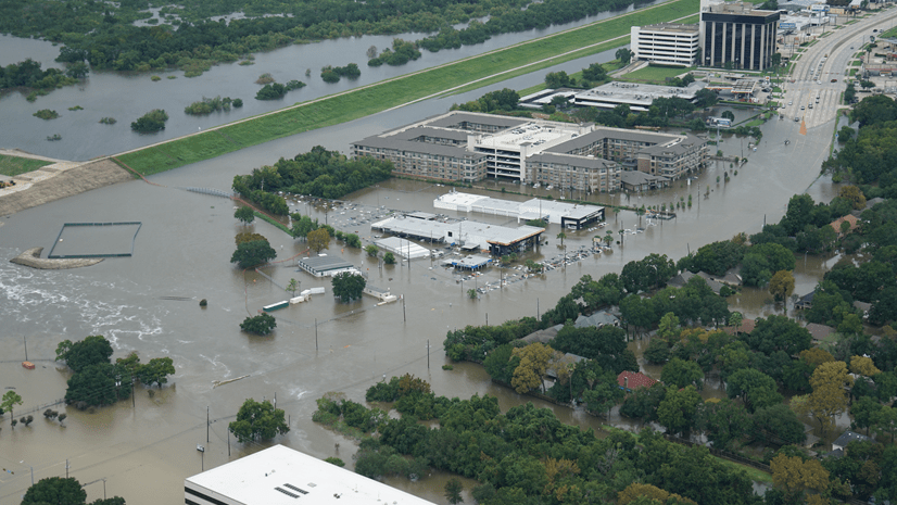
- Want to find areas at risk from storm surge flooding
- Have some pre-existing GIS skills
- Don’t have a lot of time
Full lesson: Map Hurricane Storm Surges. If you are unclear about anything in this recipe, consult the lesson.
Ingredients:
1. ArcGIS Pro, with either the Spatial Analyst or Image Analyst extensions
2. Elevation raster data.
- You can use the Terrain Imagery Layer from Living Atlas, which has coverage of the entire world.
- You can use your own data. You need a raster layer where each cell has an elevation value. A Digital Elevation Model (DEM) is ideal.
Process:
1. Zoom to your area of interest.
2. Export a new raster layer from the Terrain layer that only covers your area of interest.
- In the Contents pane, right click Terrain, point to Data, and choose Export Raster.
- For Clipping Geometry, choose Current Display Extent.
- Decrease the Cell Size if the file size is too large to export.

3. Remove the original Terrain layer from the map.
4. Use the Con tool with your new Terrain.tif layer to assign a value of 1 to low lying areas and a value of 0 to high ground.
- Add an expression like this: Where VALUE is less than or equal to 3. 3 is an arbitrary value representing the storm surge. If you want to map a 5 meter storm surge, change this value to 5.
- For Input true raster or constant value, type 1. For Output, type 0.

5. Symbolize the new raster so values of 0 have no color and values of 1 have a transparent color.
6. Compare the new layer to a basemap to explore which areas are at risk from storm surges.


Commenting is not enabled for this article.