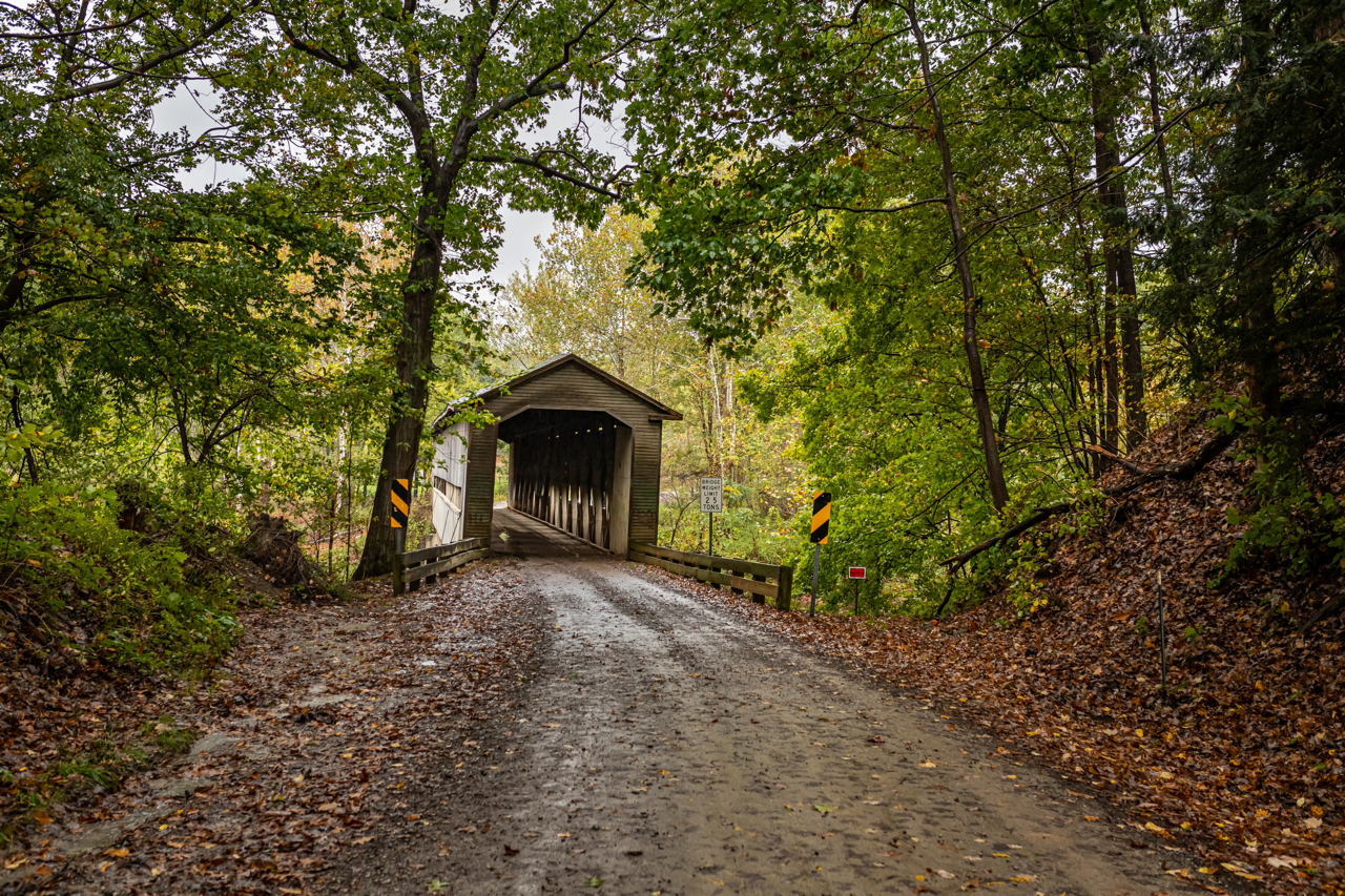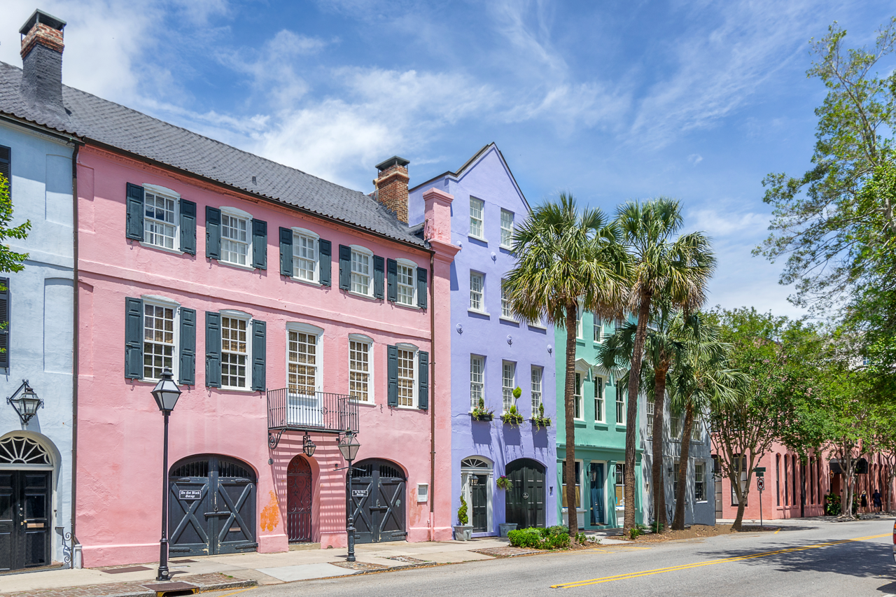
Imagine two neighborhoods: one nestled in the heart of a bustling city, the other tucked away in a quiet rural town. The city center is a vibrant hub of activity, with towering skyscrapers, a dense population, and a diverse array of shops and restaurants. In contrast, the rural town offers a slower pace of life, with sprawling farms, local businesses, and a close-knit community.
These two neighborhoods illustrate the concept of urbanicity, which measures where an area is on the urban-rural continuum. Understanding urbanicity can provide valuable insights into people’s behaviors, shopping habits, and more.
In this blog article, we will highlight 12 things you need to know about urbanicity and Esri’s newly released urbanicity data offering.
12 Anticipated Questions About the New Urbanicity Data
1. What is Urbanicity?
Urbanicity is often defined as the degree to which an area is considered urban or rural, ranging from highly urban environments (city centers) to rural settings.
2. What is an Urbanicity Type?
Urbanicity Type is a classification system built by Esri that designates populations into one of 10 urbanicity categories based on characteristics such as density, distance, and socioeconomic dependence on urban cores.
3. What are the 10 Urbanicity Categories?
The ten categories that comprise the Urbanicity Type classification system are:

- Urban Core: Found in the largest cities within a Core Based Statistical Area (CBSA). Only the densest census blocks or those with a large daytime population are classified as Urban Core.
- Urban Vicinity: Defined using the same criteria as Urban Core but with less stringent density requirements. These areas typically surround the Urban Core.
- Peripheral Community: Defined for cities on the outskirts of major metropolitan areas with significant residential or daytime population density.
- Suburb: Communities adjacent to or within commuting distance of an Urban Core within CBSAs.
- Metro Landscape: Areas within a CBSA with a residential population but not as dense as suburbs.
- Small Town: Located outside of a CBSA but within a two-hour drive from an Urban Core, these communities are small centers of population.
- Remote Town: Located outside of a CBSA and more than a two-hour drive from an Urban Core, these communities are small centers of population.
- Rural Countryside: Nonmetro rural areas located within a two-hour drive from an Urban Core that are either not part of any defined city or do not meet the density requirements to be classified as a small town.
- Rural Remote: Nonmetro areas located more than a two-hour drive from an Urban Core that are either not part of any defined city or do not meet the density requirements to be classified as a remote town.
- Unpopulated: Areas not assigned to an Urbanicity Type. These areas do not contain any Esri current year residential population.
4. Why is studying Urbanicity important?
Evaluating Urbanicity provides a quick glimpse into communities represented in your study area, their proximity to centers of population and economic activity, commuting patterns, housing density and daytime population.
Studying urbanicity reveals how people’s shopping habits and behaviors can vary based on where they live. For example, urban hardware stores might prefer to stock small-space storage items, while suburban stores may find it beneficial to stock pool cleaning supplies.

5. What are the use cases for Urbanicity data?
I. Potential User: Urban planner and city official
Application: Urban planning and development
- Enhances city planning: In an Urban Core with a high concentration of young families, planners can prioritize the development of schools and playgrounds. In contrast, in a Rural Remote area, the focus might be on accessible healthcare facilities and community centers.
- Supports smart city initiatives: In the dense Urban Core, intelligent traffic management systems can reduce congestion and improve safety. In a Metro Landscape, energy-efficient buildings and smart grid technologies can be implemented to reduce energy consumption and lower utility costs.
- Supports the development of public spaces: Urban Core areas can benefit from small, multi-purpose parks to accommodate a variety of activities. In a Peripheral Community, larger parks with sports fields and picnic areas might be more appropriate.
- Public transportation planning: The Urban Core requires frequent bus and subway services to meet high demand. In a Suburb, extensive bus routes and park-and-ride facilities can help connect residents to urban centers.
II. Potential User: Real estate developer and investor
Application: Urbanicity data in real estate
- Informs housing trends and property values: A previously underdeveloped Urban Core with an influx of young professionals is ideal for modern, affordable housing. In a Small Town, larger, family-friendly homes might be more in demand.
- Supports new residential developments: A suburban area experiencing rapid growth is perfect for new housing developments with larger, family-friendly homes. In a Rural Countryside, the focus might be on smaller, more affordable homes or vacation properties.
- Benefits property selection in commercial real estate: A high-density Urban Core with many office workers is a good location for a new coffee shop or convenience store. In a Metro Landscape, a shopping center with a mix of retail and service businesses, such as a grocery store and a gym, could be more successful.
III. Potential User: Small business owner and marketer
Application: Consumer behavior insights from urbanicity data
- Facilitates the choice of optimal locations for new businesses: A fast-food chain is unlikely to build a restaurant with a drive-thru in a dense Urban Core, as space is limited, and customers are likely to arrive on foot. In a Suburb, a drive-through restaurant could be more successful due to the availability of space and the prevalence of car travel.
- Enables merchandise planning in relation to store location: A hardware store in an Urban Core might stock more equipment for apartment renovation or small-space storage than for tree trimming. In a Rural Remote area, the store might focus on larger items like lawn mowers and farm equipment.
- Helps marketers identify optimal marketing channels: For rural areas where the population is dispersed, advertisers emphasize ‘out of home’ marketing channels like highway billboards to take advantage of commonly utilized navigation pathways. In the Urban Core, digital marketing and social media campaigns can be more effective due to the high concentration of tech-savvy residents.
- Supports planning for service delivery: Delivery service to a dense Urban Core may require more frequent deliveries and must consider congestion and traffic flows. In a Rural Countryside, deliveries can be less frequent but need to cover larger distances and may require more robust logistics to reach remote locations.
6. How often is this data updated?
It will be updated on a yearly basis and will incorporate the latest updates of residential and daytime population estimates for Esri Demographics.
7. Who created this dataset?
Esri’s U.S Data Development team is responsible for the creation and delivery of the Urbanicity Type dataset.
8. How do I access this data?
Urbanicity Type data is accessible through:
- ArcGIS Online – Enrich Layer
- ArcGIS GeoEnrichment service
- Standalone data files
- ArcGIS Business Analyst (Web, Pro, Enterprise)
- FGDB format for ArcGIS Business Analyst Pro

9. What are the data sources?
Esri Updated Demographics, Census TIGER geography, 2020 Decennial Census, and OMB definitions of principle cities via their most current CBSA delineation files
10. What geographies does Urbanicity Type data cover?
All standard Census geographies (block group, tract, county, state, nation) plus CBSA, place, DMA, Congressional Districts, ZIP codes, school districts, plus any user defined polygons such as rings, drive times, or hand drawn trade areas.
11. Is the data available for use outside of ArcGIS products?
Yes, this data is available as Data only deliveries and can be delivered in multiple file formats such as comma-delimited files, MS Excel files, file geodatabases, shape files, and more.
12. Are dominant urbanicity types available in all Esri products?
Yes, variables identifying the dominant Urbanicity Type derived from the total population distribution of the ten distinct categories is available in all Esri products but is currently unavailable for mapping in ArcGIS Business Analyst Web App.
Learn More
Want to learn more about Esri Urbanicity Types? Take a look at these helpful resources:

- Use and Interpret Esri Urbanicity Types Tutorial
- Urbanicity Methodology

Hello, I use the notebook in ArcGIS Pro 2.6, and update python api to 1.8.2. The first two step is fine, and create a Data Store (Folder) in my Portal and Server. But the third step always come back with ERROR 999999, with the full error as below: Exception Traceback (most recent call last) In [3]: Line 2: desc = ds.describe(item=ds_item.id, server_id=server_id, path=’/’, store_type=’datastore’).result() File C:\arcpy\arcgispro-py3-clone26\lib\site-packages\arcgis\gis\_impl\_jb.py, in result: Line 202: res = self._future.result() File C:\arcpy\arcgispro-py3-clone26\lib\concurrent\futures\_base.py, in result: Line 432: return self.__get_result() File C:\arcpy\arcgispro-py3-clone26\lib\concurrent\futures\_base.py, in __get_result: Line 384: raise self._exception File C:\arcpy\arcgispro-py3-clone26\lib\concurrent\futures\thread.py, in run: Line 56: result = self.fn(*self.args, **self.kwargs) File… Read more »
Hi Karl,
Please ensure the data store path is the folder where the eslpk/i3srest content resides. Do not provide path to eslpk in data store. Please feel free too reach out to me via “connect” option.
Best wishes,
Garima
Hello, In Step 3, When
ds_name = ‘qingxie.eslpk’
for child in desc[‘result’][‘children’]:
if child[‘name’].lower().find(ds_name.lower()) > -1:
break
it turns out an error:
KeyError Traceback (most recent call last)
in
1 ds_name = ‘qingxie.eslpk’
—-> 2 for child in desc[‘result’][‘children’]:
3 if child[‘name’].lower().find(ds_name.lower()) > -1:
4 break
KeyError: ‘result’
my desc[‘definition’] is
{‘operation’: ‘describe’,
‘datastoreId’: ‘f288a585b3224e6091c8707e31c5b764’,
‘serverId’: ‘EOI1WUNp6w8OfMu7’,
‘path’: ‘/’,
‘type’: ‘datastore’}
can you help me?
Hello Kang,
You may choose to skip step 3, if you know the path to your scene content folder inside the data store.
Best Wishes,
Garima
Starting with this release, for the scene service, the i3s content can be stored in a tile cache store in a mode of primary and standby machines or a cluster containing multiple machines, or stored in a folder stores, or stored in a cloud stores. Then, what should I choose when I publish, the tile cache store, the folder store or the cloud store? Do you have the advantages and disadvantages of them? And, for the tile cache store, it says below: https://enterprise.arcgis.com/en/portal/latest/administer/windows/whats-new-data-store.htm However, accessing scene data in this mode can be slow when you use fewer than five machines… Read more »
Sai, ArcGIS Datastore based scene tile cache store is used for: 1. hosted scene layers with associated feature services and 2. hosted scene layers using scene layer package. It supports the following options: • Single machine or primary/standby mode with 2 machines for maximum throughput: Recommended if you think, scene caches content can be accommodated on a single machine • Cluster mode (of odd number of machines): Recommended if you anticipate your scene caches content to grow. The additional machines in cluster help re-balance your scene caches to scale out across multiple machines Please see the following link for detailed… Read more »
Great new option!
After i3Converter explodes the SLPK in the ESLPK shared folder, publishing lasts just a few seconds!
And It gives even more control over what is being published than default DataStore publishing process.
I succesfully published using an Administrative account, but I found an issue using a Publisher account: the python script ends in Exception “Error Code: 400”
The Lucky part is that publishing process seems to end correctly and the Service and Item are Up and Running!
Is that a Python API issue only ? Has anyone else experienced this behavior?
Hello Alessandro,
This seems to be a bug in ArcGIS API for python. We are working to resolve it in the next release. In the meantime the only workaround would be to use administrative credentials to describe the contents of the datastore or to use the REST endpoint of the sharing API described at https://developers.arcgis.com/rest/users-groups-and-items/describe-datastore.htm
We are working to provide a user interface for this workflow in the upcoming release of ArcGIS Enterprise.
Best Wishes,
Garima