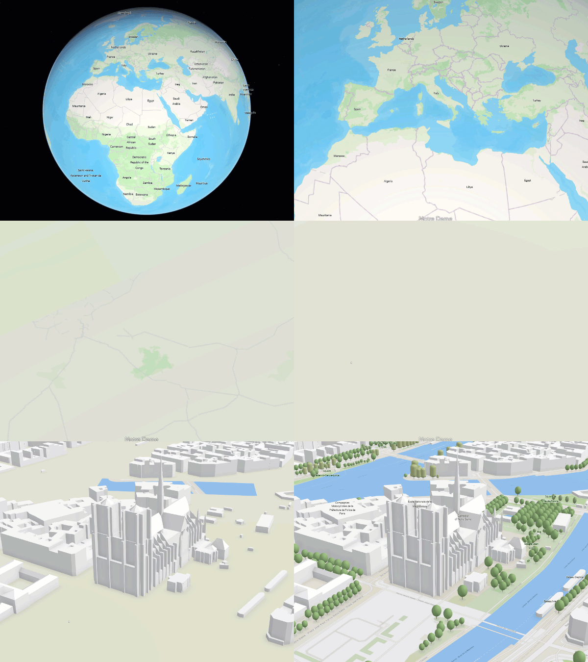
To identify any location on Earth you need to provide its coordinates in x, y, and z. Map makers have used projected coordinate systems to “flatten” the Earth. If you work in 3D you need to think about the best fitting coordinate system in XY. In addition you need the vertical coordinate system to represent Z.
This can be challenging if you are not too familiar with coordinate systems. Here are some guidelines that can help you make the best choice.
Determine the best fitting coordinate system for your use case
ArcGIS supports many different coordinate systems including custom coordinate systems. The first questions you will need to answer are about the geospatial context you want to work in. Here are some examples of the typical questions:
Will the layer represent global data?
For instance, you are using data that is collected on different continents or shows data for the entire Earth, and you want to visualize and work with the data in one layer it might be best to use a global coordinate system like WGS 1984 and a corresponding vertical coordinate system like EGM 96 or EGM2008.
Are you planning to show the layer together with a basemap?
In addition you might need reference layers together with your data. ArcGIS provides 2D and 3D basemaps that you can use creating a scene, for example. In addition, if you are working with feature layers, the data can be projected into the coordinate system of the web scene. For other layer types like scene layers, vector tile, or imagery layers, you will need to define the same coordinate system as the basemap. ESRI provided basemaps are compatible with the coordinate system WGS 1984 or Web Mercator. In case you are working in ArcGIS Pro you do not have to worry about coordinate systems because all layers can be projected on the fly.
Are there legal requirements?
There are many factors that might determine what type of coordinate system is required for your data. For example, if your layer represents a construction site you might be restricted to a specific coordinate system. Anyone on the project can work with your geospatial data because the same coordinate system is used.
Sometimes you might have to comply with government requirements to provide geospatial data in the country or state coordinate system.
Creating new data or projecting data
You can create new feature classes or project existing data including raster. However, if you do not define a vertical coordinate system ArcGIS assumes that the vertical heights are gravity related and have the same unit as the horizontal XY coordinate system. If your data are in a geodetic coordinate system, the vertical unit is assumed to be in meters.
When you work in 3D it is best practice to define the vertical coordinate system. This way you assure that the data can always be aligned with other data in a different coordinate system by applying a transformation, for example.
Additionally, if you need to change the coordinate system of your 3D data, you can use the geoprocessing tool project to create data in the required coordinate system. You can use the Projection and Transformation toolset to work with coordinate systems and transformations.
Choosing the horizontal coordinate system
For instance, for your global 3D data, you must choose WGS 1984 as coordinate system. Usually you visualize global data in a global scene. Within a global scene you can use 3D basemaps provided in the living atlas and show your data in a global context. For example, you can zoom in and out of the data and see the Earth.

You can choose a projected coordinate system if your data represents a smaller area like a construction site. For example, in the Netherlands the official statewide coordinate system is RD in XY and NAP in Z. If you choose the same coordinate system your data will draw correctly with other publicly available data.
GIS systems usually contain both 2D and 3D data and it is important to be able to bring all data together. You should choose the same horizontal XY coordinate system for your 2D layer and 3D layer. In addition you should consider the vertical coordinate.
Choose a corresponding vertical coordinate system for your 3D layers
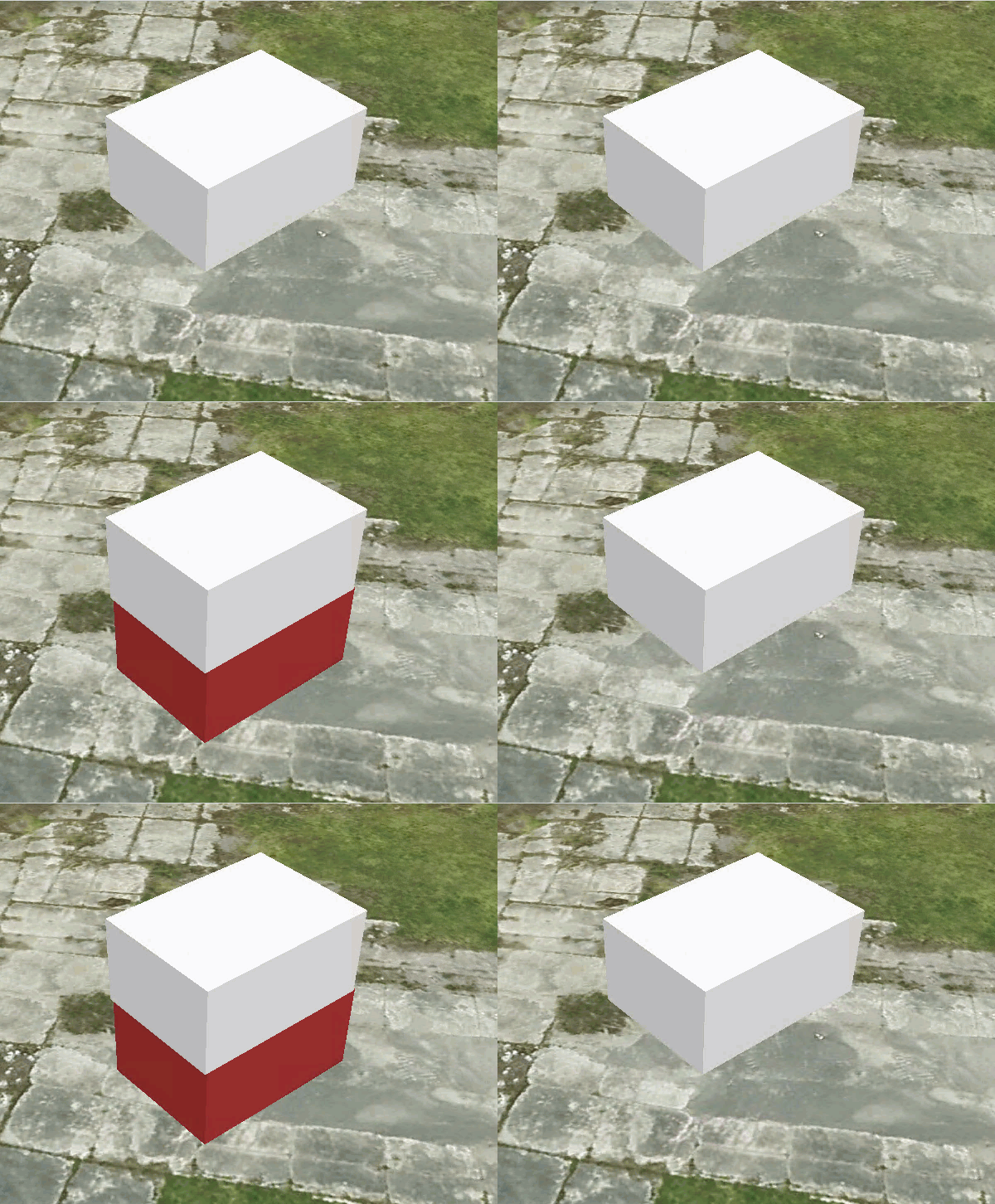
For any of your data that has Z values your should define a vertical coordinate system. For example, when you represent 3D data you need to make sure that the z value can be measured anywhere in your scene. This is also true for any feature data like points or lines. Without a vertical coordinate system, you might encounter distortion due to the projection of the data in XY only. With a vertical coordinate system you can assure that at any given point the data can be drawn correctly. If you edit a feature without a VCS your feature might not be at the correct position. Like in the example below, where the red cube is position correctly on the ground while the cube without VCS is floating above.

Here are simple rules to follow when choosing the vertical coordinate system:
- Choose the same spatial extent for the XY and Z coordinate system. You want to make sure that any z value in your data can be represented in the vertical coordinate system. ArcGIS Pro will warn you if the extents do not overlap.
- Think about the context you are planning to use the data. For example, if you are building a digital twin, you will combine 2D and 3D data. In most cases it is best to choose a gravity related vertical coordinate system. For example, in a gravity related vertical coordinate system the elevation will always reflect the actual surface conditions. For example, water will always float down. In an ellipsoidal vertical coordinate system this might not be the case because the z value comes directly from the ellipsoid. In some areas water might flow up in some areas, for example.
You can learn more about coordinate systems, the difference between geographic versus projected coordinate systems and vertical coordinate systems.
Bring 3D data together as layers in a scene
ArcGIS enables you to bring diverse types of data together as 3D layers in a scene. For example, you can combine 3D BIM models with 3D basemaps or build complex digital twins. The key when working with all these different data is to make sure they will align correctly.
You can work with data in different projections using ArcGIS Pro. For example, you can define the coordinate system of the scene and apply transformations for all layers participating in the scene. This way all layers will align correctly regardless of their coordinate system.
When working with Scene Viewer or web applications you must choose layers that can be projected like feature layers or ensure that all layers are in the same coordinate system. For example, you can create web layers in the target coordinate system by using geoprocessing tools to project and transform the data. Or share a web scene from ArcGIS Pro.
ArcGIS enables you to create and maintain geospatial data for all your GIS needs including 3D. Want to learn more about 3D checkout out the 3D workflows.

Article Discussion: