We’ve all heard the phrase:
Every map tells a story.
It’s a cliché, or a truism, perhaps — the definition of truism, according to Merriam-Webster, being “an undoubted or self-evident truth, especially one too obvious for mention.”
The definition may be valid, but as we all know, maps tell stories that are anything but obvious, and that provide endlessly interesting and important insights. The work you do, as GIS professionals, as geographers, and as mapmakers, results in maps that tell countless tales about the workings of our planet and of our global community.
To celebrate this important truism, Esri is mounting an exhibition and series of events called Storytelling with Maps at the 2024 User Conference. If you’re attending the Conference, look for it in the southeast quadrant of the Sails Pavilion — or Map Lounge — at the San Diego Convention Center.
Within the exhibition, which opens as part of the Map Gallery Reception immediately following Monday afternoon’s plenary session, you’ll find several cool things, including:
- A walk-through exhibit providing Nine Tips to Great Storytelling
- A kiosk featuring maps.com, highlighting interesting, impactful, and beautiful maps that help people better understand the world
- A venue with seating and a big screen for fireside chats (see below)
- A tabletop tactile map, part of an initiative to benefit visually impaired map readers
- And more!
We hope you’ll come back to the exhibition later in the week to participate in three lunchtime discussions, or fireside chats, from 11:30 to 12:30 Tuesday, Wednesday, and Thursday. Unlike the Conference’s hundreds of technical sessions, these will be informal, participatory conversations with distinguished storytellers, each of which will give a brief introductory talk followed by a free-form discussion and Q&A session that I’ll moderate.
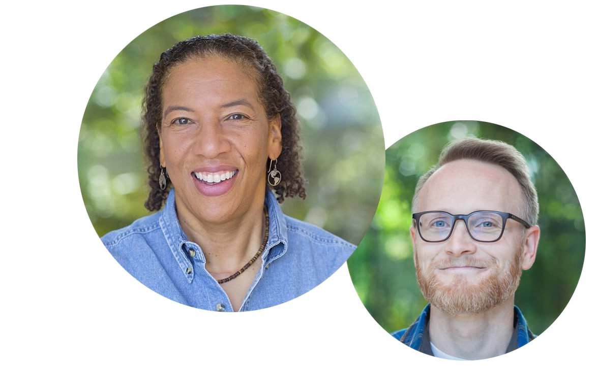
Tuesday at 11:30: Discovering the story in science communication
Speakers will be Dawn Wright, Esri’s chief scientist and a distinguished oceanographer, and John Nelson, cartographer and communicator extraordinaire. They’ll discuss how science communication is important, but that the way you communicate can make or break your message. They’ll talk about the value of infusing your discoveries with storytelling and maps that can inspire interest — and action — from your audience. Learn more >

Wednesday at 11:30: Adding depth to your stories with 3D
Wednesday’s featured speakers will be Katie Grillo, web technology specialist for the city of Cambridge, Massachusetts, and Esri’s 3D expert and Living Atlas team member Craig McCabe. They’ll talk about how to go beyond the wow factor of 3D to explore how it can add depth — and decision-supporting information — to your stories. Learn more >
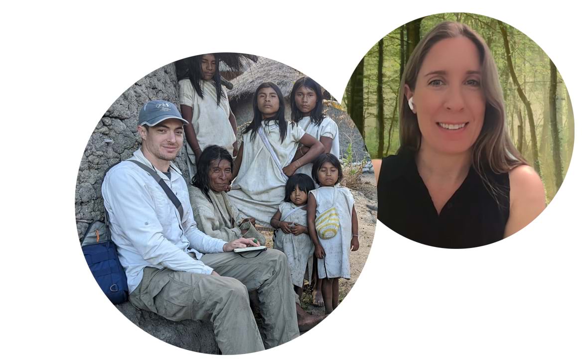
Thursday at 11:30: Connecting local stories with global communities
The final fireside chat will feature master storyteller Brian Hettler of the Amazon Conservation Team and Natalie Cox, a program officer with the International Union for Conservation of Nature (IUCN) who works at the intersection of education, environment, communications, and diplomacy. They’ll discuss how place-based storytelling can create emotional and visual inspiration that connects local stories with global communities. Learn more >
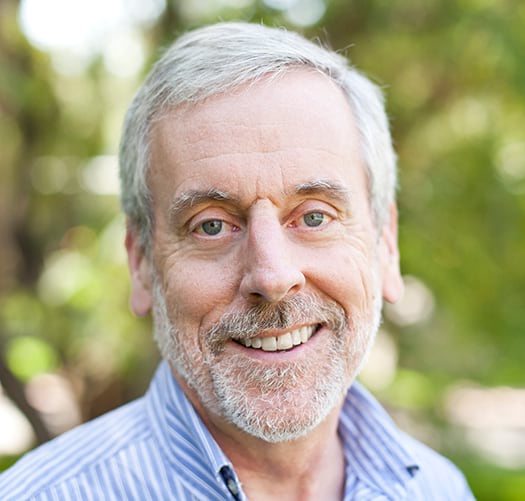
I’m excited about moderating these fireside chats, and hope you’ll find them informative and inspirational. Please join us!
Article Discussion: