Three years ago, we announced the first release of ArcGIS Field Maps, a comprehensive field application that combines the functionalities of ArcGIS Explorer, ArcGIS Collector, and ArcGIS Tracker. This integration allowed us to retire the individual apps and provide users with a unified solution for viewing, capturing, editing, and sharing location data. In addition to these capabilities, we also expressed our intention to incorporate two other apps, ArcGIS Workforce and ArcGIS Navigator, into Field Maps. In this blog, we will delve into the details of our plans for these two applications.
ArcGIS Workforce
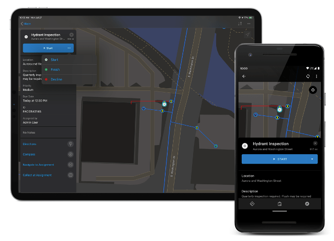
ArcGIS Workforce and its predecessor, Workforce Classic, have traditionally been used to create prioritized to-do lists for field teams and track the progress of work in the office. However, there is a new task capability being developed in Field Maps that will offer organizations the ability to create to-do lists for maps. With this new capability, organizations can configure task types, customize the forms for field teams to complete, and leverage calculated expressions and conditional logic to streamline work. The flexibility of the new task capability extends beyond just points, allowing organizations to define task layers as point, line, or polygon based on the nature of the work. These are just a few highlights of what’s coming.
Want to test this for yourselves? Early 2024, we will be announcing a Tech Preview which will be available for organizations to test.
While ArcGIS Workforce will continue to be supported, there are no future enhancements planned. It is recommended that organizations using ArcGIS Workforce or Workforce Classic evaluate the new task capability in Field Maps and provide feedback on any additional requirements during the Tech Preview.

ArcGIS Navigator
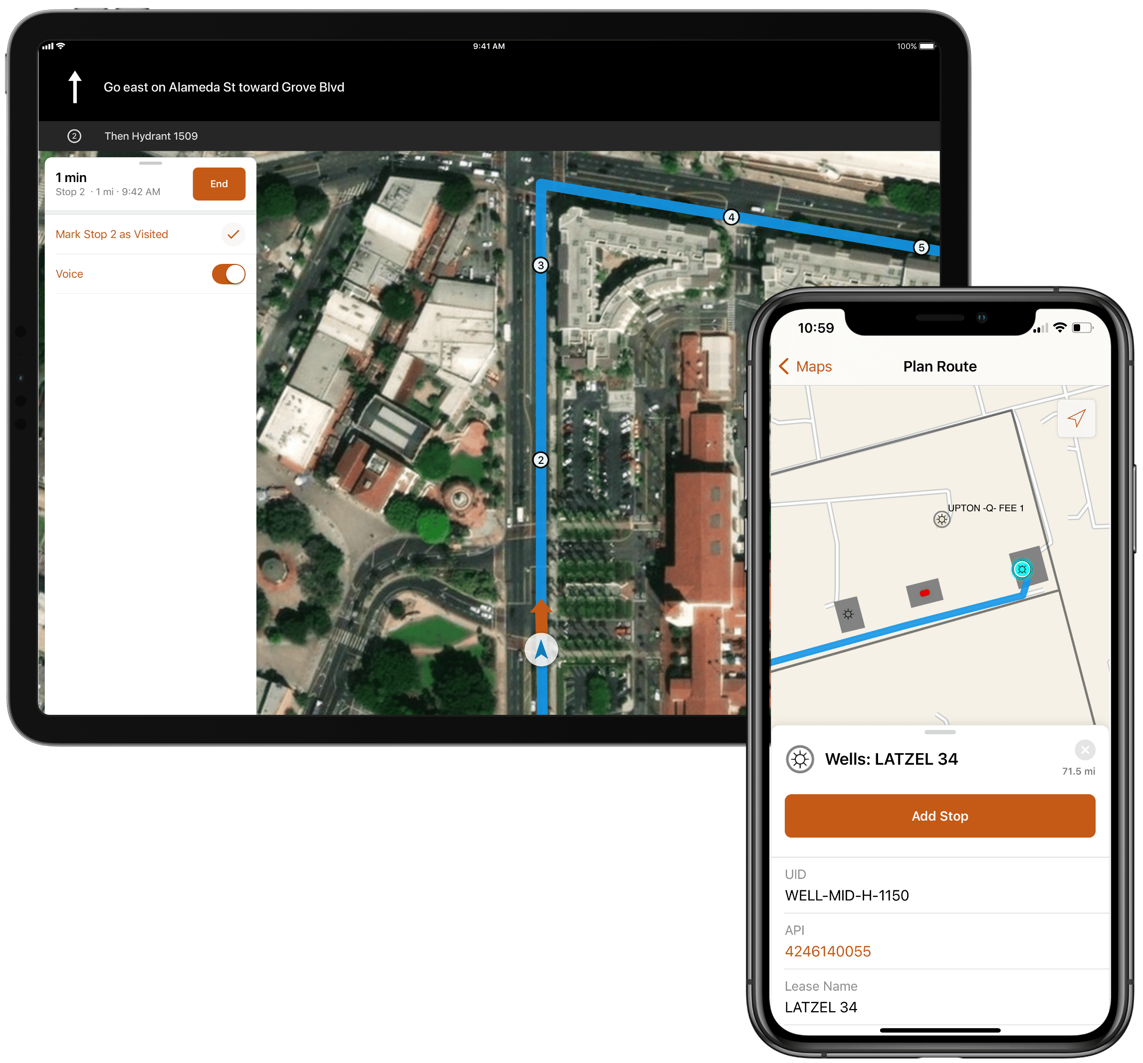
ArcGIS Navigator supports turn-by-turn voice-guided navigation, even offline, making it ideal for remote areas with limited internet connectivity. Organizations can bring in their own data, allowing workers to search and route to assets. However, these needs can also be met by having data in Field Maps and using the Directions action to launch any navigational app on a device (even if it isn’t an Esri app).
Where ArcGIS Navigator really stands out is its ability to route along custom roads, which have been added to a custom network created and published from ArcGIS Pro. This functionality, combined with the ability to create preset routes and routes based on specific parameters like vehicle type and restrictions, allows organizations to plan and guide their field teams efficiently and safely.
Whether you use ArcGIS Navigator or other navigational apps, it’s an expected pattern to launch into a separate focused app optimized for Navigation. It’s with this in mind that ArcGIS Navigator will not be added to ArcGIS Field Maps and instead will remain a separate focused app for navigation.

The future – we need you!
We are excited to be bringing the new task capability into Field Maps, and we have plenty of new features planned on our mid-long-term roadmap that we will be sharing in future posts. We want to make sure that ArcGIS Field Maps meets the needs you have for your field teams now and into the future, and the best way we can do that is to hear directly from you. Esri Community is one of the key feedback mechanisms we use to decide what we are building next. Take a look at the Ideas that have already been suggested by the community and add your support or even suggest your own.

Hi Sarah
How and where do we join the Tech Preview programme?