As 2023 is nearing a close, we wanted to share some of the big enhancements and new features that have been released this year. This blog contains the highlights, but we’ve made sure to include links to find more detailed information.
Reality Engine first release

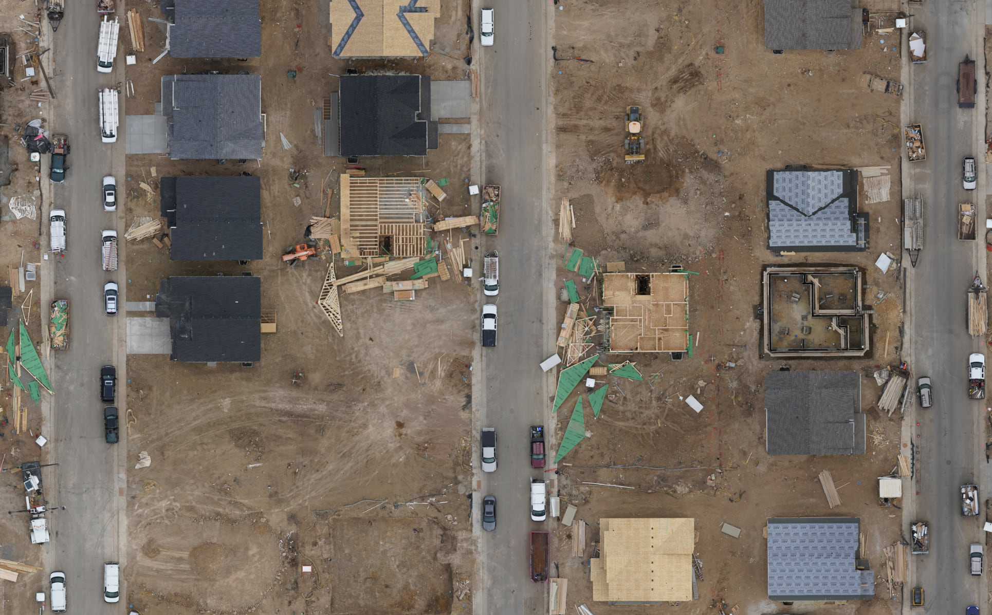
Esri’s new Reality Engine is now released as the main processing engine in Site Scan for ArcGIS.
Earlier this year we launched ArcGIS Reality, a suite of reality mapping products designed to enable reality capture workflows for sites, cities, and countries, from drone, aerial or satellite imagery. What brings these products together is that they use the same processing technology to deliver visually stunning and highly accurate maps and 3D models. This allows you to interact with a digital world that shows places and situations as they truly are, layered with geospatial data that enriches reality with greater context. The Reality Engine had been in beta in Site Scan and is now released in full.

Processing drone imagery is part of Site Scan’s foundation, and it is crucial that the processing is accurate, efficient, and generates high quality results. By incorporating the new Esri built Reality Engine we are striving to deliver the best processing engine on the market and share it across all ArcGIS Reality products.
You will see that the Reality Engine is now set at the default processing engine for some projects, and as we release more updates, we will eventually transition all the project types to use the Reality Engine by default. For more information, please check out this community blog.
Enhanced publishing capabilities to ArcGIS Online or ArcGIS Enterprise.
If you are a user of ArcGIS Image for ArcGIS Online, you can now seamlessly publish Tiled Imagery Layers from Site Scan. This offers an immediate transition into advanced analysis, GeoAI workflows, as well as broader communication options within ArcGIS. With the option to publish the tiled imagery format directly into ArcGIS Online, you can conduct a fully cloud-based workflow from image capture to advanced image analysis and change detection to sharing results in an easy to understand way with stakeholders.
To further understand the differences and benefits of tile layers (sometimes referred to as map tile cache or tile cache layers), and tiled imagery layers, take a look at this blog.
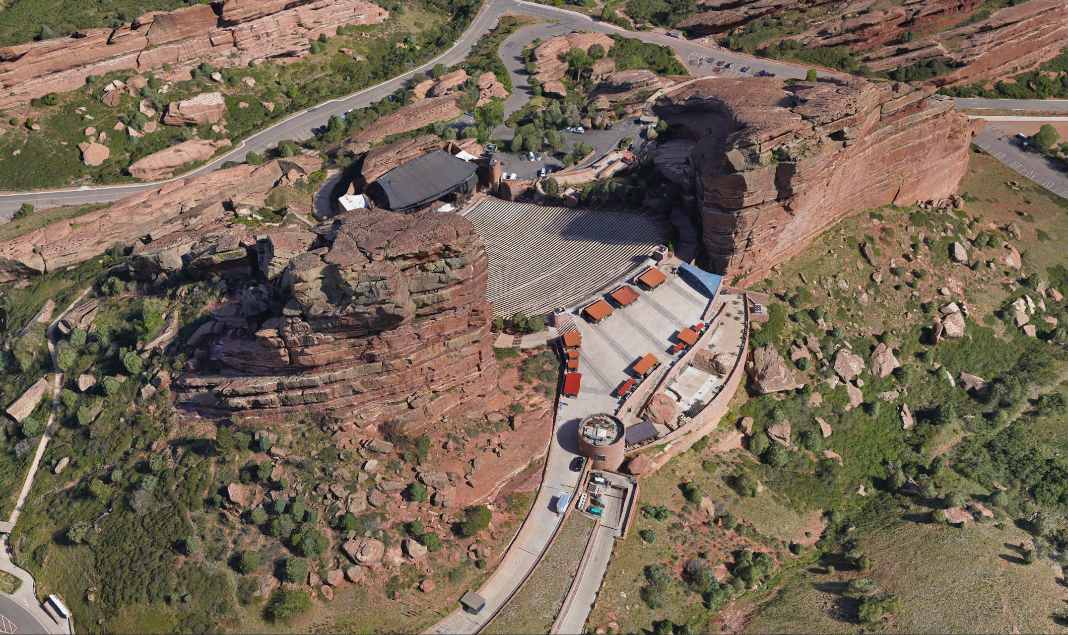
Additionally, you can now publish Oriented Imagery Catalogs and can create an oriented imagery web application in ArcGIS Online using ArcGIS Experience Builder to perform detailed site inspections. Oriented imagery allows you to navigate through your site in an immersive 3D virtual environment. You can learn more about the oriented imagery capability in ArcGIS by reading through this blog.
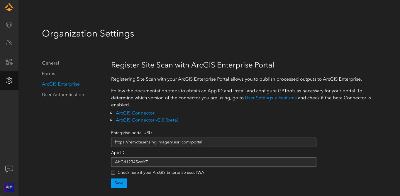
Connecting your Site Scan account to your ArcGIS Enterprise portal is now easier than ever. This can now be performed by any Site Scan administrator by following the steps provided in your Organization Settings page.
To learn more about the publishing capabilities in Site Scan and how to enable the beta features, check out this blog.

Keep your web maps up-to-date automatically
Site Scan for ArcGIS organizations on a Custom Subscription can now create web services for your Site Scan projects and bring them into other GIS applications like ArcGIS Pro or ArcGIS Online. This allows you to view your True Orthos from a project before you publish the data. Site Scan generates a type of web service called a Web Map Tile Service (WMTS), which provides a view of the data without the extra steps of downloading, publishing, or otherwise storing the data outside of the Site Scan cloud. Learn more about how to use this feature in this blog.
New user stories
PCL Construction
If you missed Esri UC this year and haven’t caught up on all the great presentations shown during the plenary session, see how PCL Construction used Site Scan for ArcGIS to build the billion-dollar New St. Paul hospital complex in Vancouver, British Columbia.
Tahoe Environmental Research Center

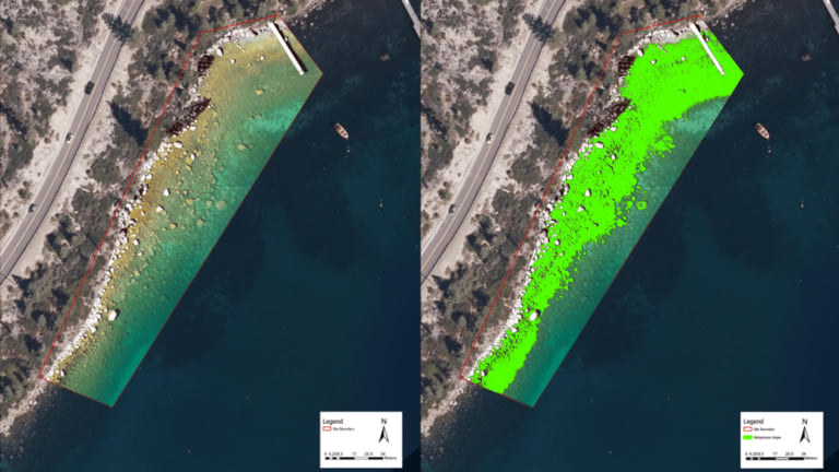
The Tahoe Environmental Research Center uses GIS and drones to monitor the environmental health and water quality at the famously clear lake. Read the blog to learn how they used Site Scan for ArcGIS. Read the story here.
Stay connected
The team has been hard at work on these enhancements and are excited to release them to you. Please share your ideas and questions in the Site Scan for ArcGIS community page, and to stay up-to-date on all things Site Scan make sure you’re subscribed to our newsletter.

Article Discussion: