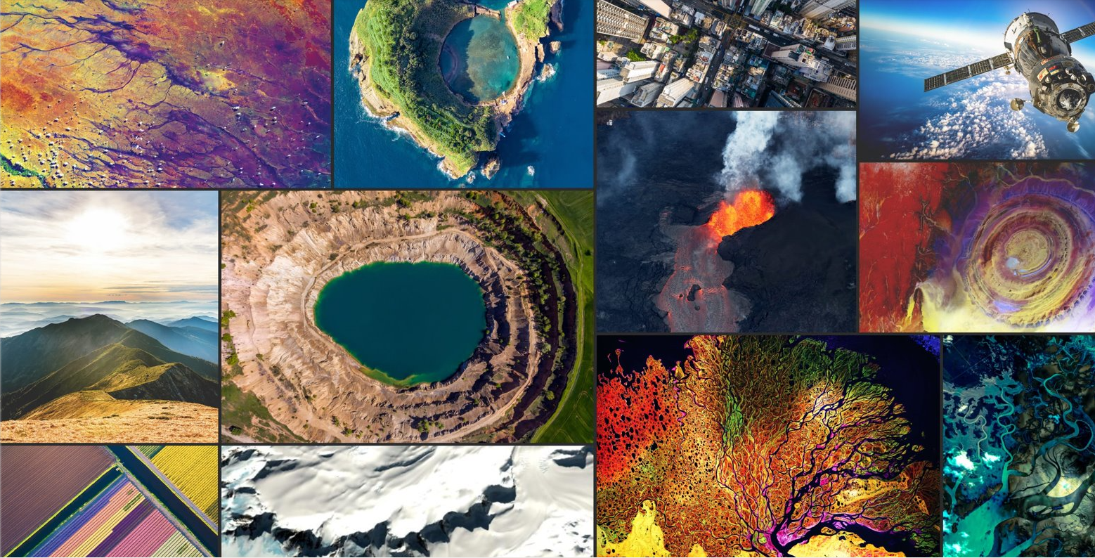
Get ready for an exciting and informative journey into the world of imagery in GIS at the 2023 Esri User Conference! We made it easy for you by compiling all the imagery sessions for you here!
Read on to learn about everything imagery at the event …
All About Imagery and GIS
Did you know that the Esri User Conference (Esri UC) is the biggest GIS conference on the planet (pun intended)? Each year, over the course of six full days, attendees can tailor the diverse learning and engagement tracks to support their GIS work—including key imagery tracks. Imagery has been a key topic for conference goers for several years as it becomes more and more integral to GIS work. In fact, imagery is now EVERYWHERE at the Esri UC! From demos in the expo area to technical presentations, user sessions, and special interest groups, don’t miss a chance this year to see how the latest imagery in GIS trends apply to you. Find helpful links at the end of the blog to help you take advantage of every imagery opportunity.

Not Just a Pretty Picture
As long as we’re talking imagery, let’s answer a question that might be on your mind—what is the real impact of imagery on GIS … and why is it everywhere at the Esri UC 2023? Here at Esri, we know that imagery is so much more than just a base map. It plays a crucial role in enhancing the understanding of geographic areas of interest. Perhaps you are measuring ecological change over time or contributing to a more Earth-friendly transportation solution. Or you could be monitoring facilities to improve operational efficiency, or analyzing a population’s access to humanitarian aid operations. Regardless of your mission, imagery provides a comprehensive understanding of the geographical landscape.
Above, a photo-realistic 3D visual representation of the city of Frankfurt was created using aerial imagery and ArcGIS Reality.
Getting from Remotely Sensed Data to Decisions
The Esri UC is a great opportunity to dig into the details of how ArcGIS supports your imagery in GIS initiatives. Find technical presentations and show floor demos in the Detailed Agenda app, so you can learn about imagery-first products, capabilities, and features. You’ll see how ArcGIS is a comprehensive system with imagery capabilities woven into its fabric, so visualizing, analyzing, and exploiting imagery in your GIS is seamless. You’ll learn how to access ready-to-use content and how to organize, grow, and manage your imagery collections. You’ll see how to visualize and exploit images on your desktop or web browser, and how to transform imagery into intelligence with GeoAI and advanced image analysis. AND (drumroll please) we’ll be showcasing our new ArcGIS Reality mapping products that create realistic representations of sites, cities, and even entire countries.
Connect with your Fellow Imagery Users
In addition to all the amazing (and informative!) sessions, tech workshops and demos you’ll attend, be sure to bookmark our two imagery Special Interest Group (or SIGs for short) discussions. Attend them to interact with a diverse panel of users just like you.
This year, we are hosting the Drones and Reality Mapping in GIS SIG where drone experts will weigh in on their experience, the future of reality mapping, and more. And, at the Advanced Imagery Analysis Community SIG, we’ll deep dive into discussions of using imagery analysis tools and capabilities to solve important organizational challenges. SIGs offer a great opportunity to build deeper connections in the community as you share your work and challenges with each other. Don’t miss this chance to interact with your peers and network with like-minded professionals!

Illuminating Imagery at the Plenary
Now, I’m excited to tell you about how imagery will be a featured technology in the highly anticipated Esri UC plenary session. Jack Dangermond will take center stage to unveil the latest imagery products and capabilities in ArcGIS Pro, ArcGIS Online, and ArcGIS Enterprise. You’ll hear not only from Jack, but also from keynote speakers including Dr. Steve Boyes, a conservationist and National Geographic Explorer. Dr. Boyes has used ArcGIS to amplify the value of satellite imagery and remote sensing data to undertake large-scale ground-truthing expeditions. You’ll also see presentations by special customer guests. The City of Cambridge, MA will show you how they use Reality Mapping to connect new communities. Pacific Gas and Electric Company will demonstrate how geospatial evolution has changed the way they operate. And, Esri team members will feature beautiful, map-based presentations throughout the day to help you learn about everything imagery.

Choose your Own Imagery Adventure
Use the helpful links below and take part in any—or all— of the imagery events at the UC!
- Use this agenda that we compiled—it already has imagery events listed for you!
- Read the imagery and remote sensing Q&A, which is packed full of helpful information, from the best ways to share imagery to how to process and integrate lidar with your GIS. Don’t miss a focused Q&A section about ArcGIS Excalibur and image exploitation.
- Plan your own imagery-focused schedule using the detailed agenda. Choose “imagery” as a keyword to find demos, presentations, technical workshops, and special interest groups.
- See what Jack has to say about imagery in ArcGIS at the plenary on Monday, July 10.
- Visit the imagery area at the expo July 11–14. Meet with experts and get the latest ArcGIS imagery product and technical information.
- Collaborate with like-minded professionals on July 11. Hear from Esri employees about how to harness the power of imagery in GIS at the Imagery Summit.
- See how capabilities like imagery will drive the next generation of GIS professionals at the Education Summit.
- Be sure to register for expert-led, hands-on imagery training July 8–9 before the conference starts.
- Familiarize yourself with the venues, get walking directions, and plan your sessions using the new Event Map.
See you in San Diego!

Article Discussion: