ArcGIS Solutions align with your business needs, transform your use of ArcGIS, and help you maximize the investment you are making in location-based data and technology.
In the April 2022 release, you will find several new ArcGIS Solutions for state and local governments, utilities, defense, and public safety agencies. There are also many enhancements to the existing solution portfolio that can be leveraged by organizations of all types.
New ArcGIS Solutions
Here is a quick summary of what’s new in the April release:
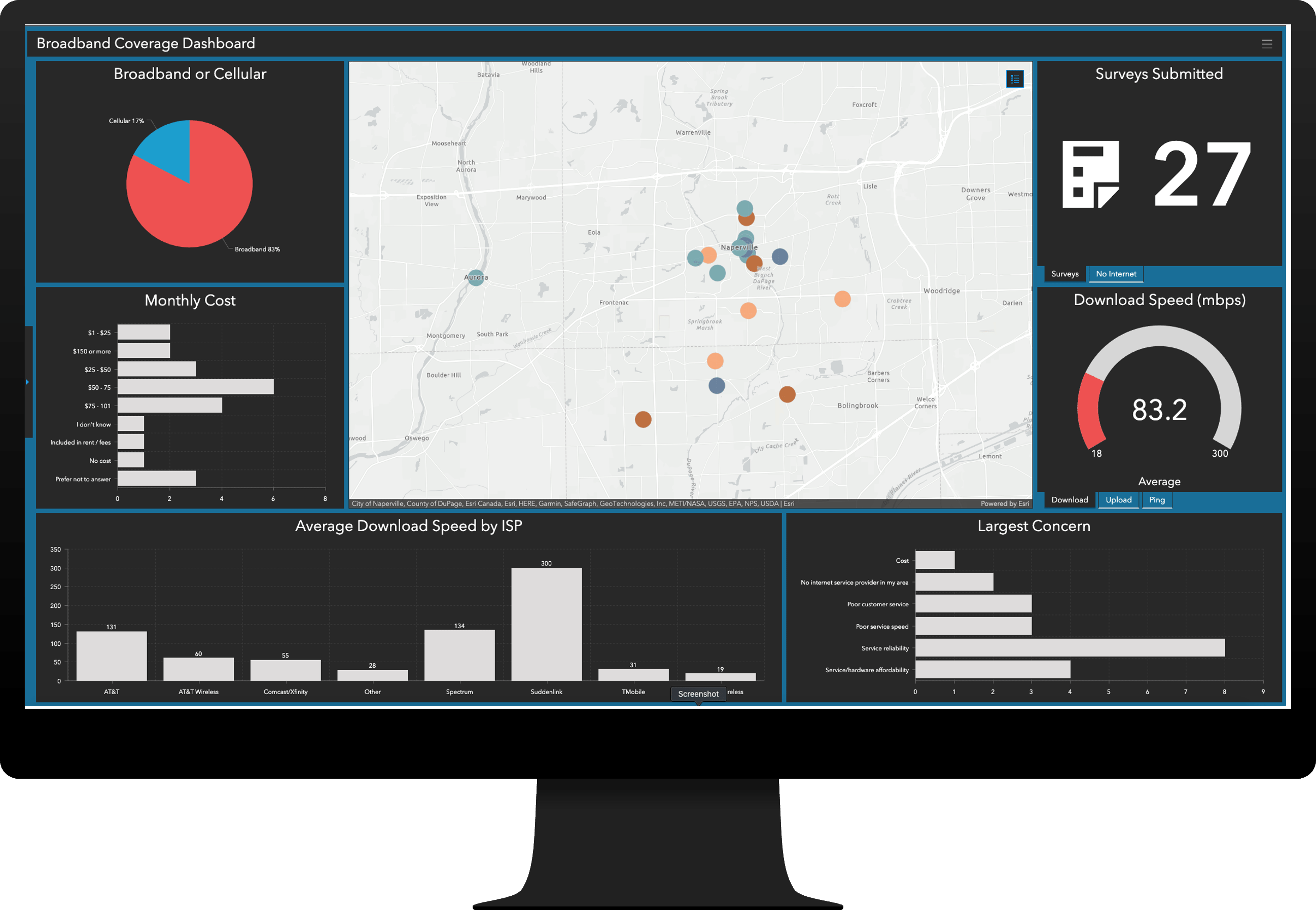
Broadband Outreach can be used to understand broadband coverage and promote actions being taken to address the digital divide.
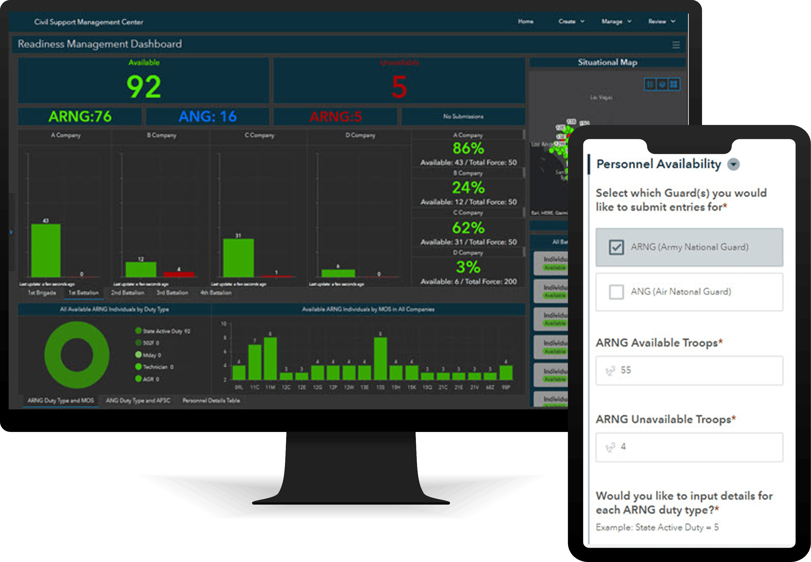
Civil Support can be used to manage events, missions, personnel, and resources during a military response in support of civilian authorities.
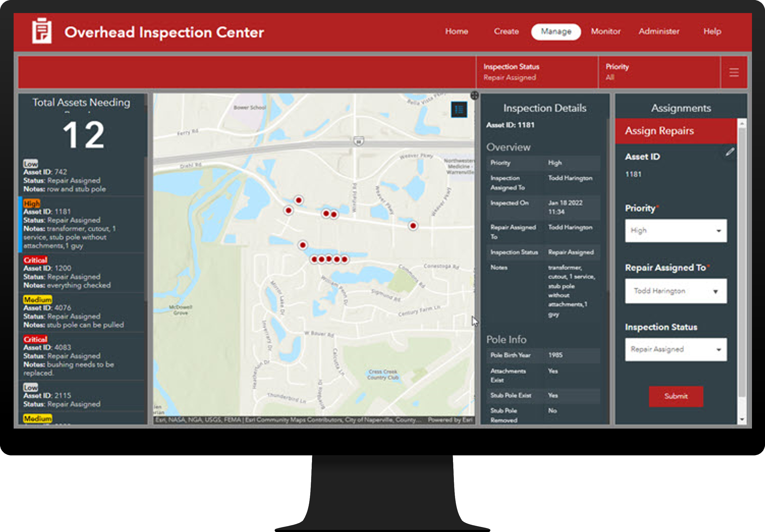
Electric Overhead Inspections can be used to conduct inspection campaigns and monitor the condition of electric overhead assets.
Pipeline Referencing Foundation
Pipeline Referencing Foundation can be used to accelerate an ArcGIS Pipeline Referencing implementation for gas and hazardous liquid pipelines.
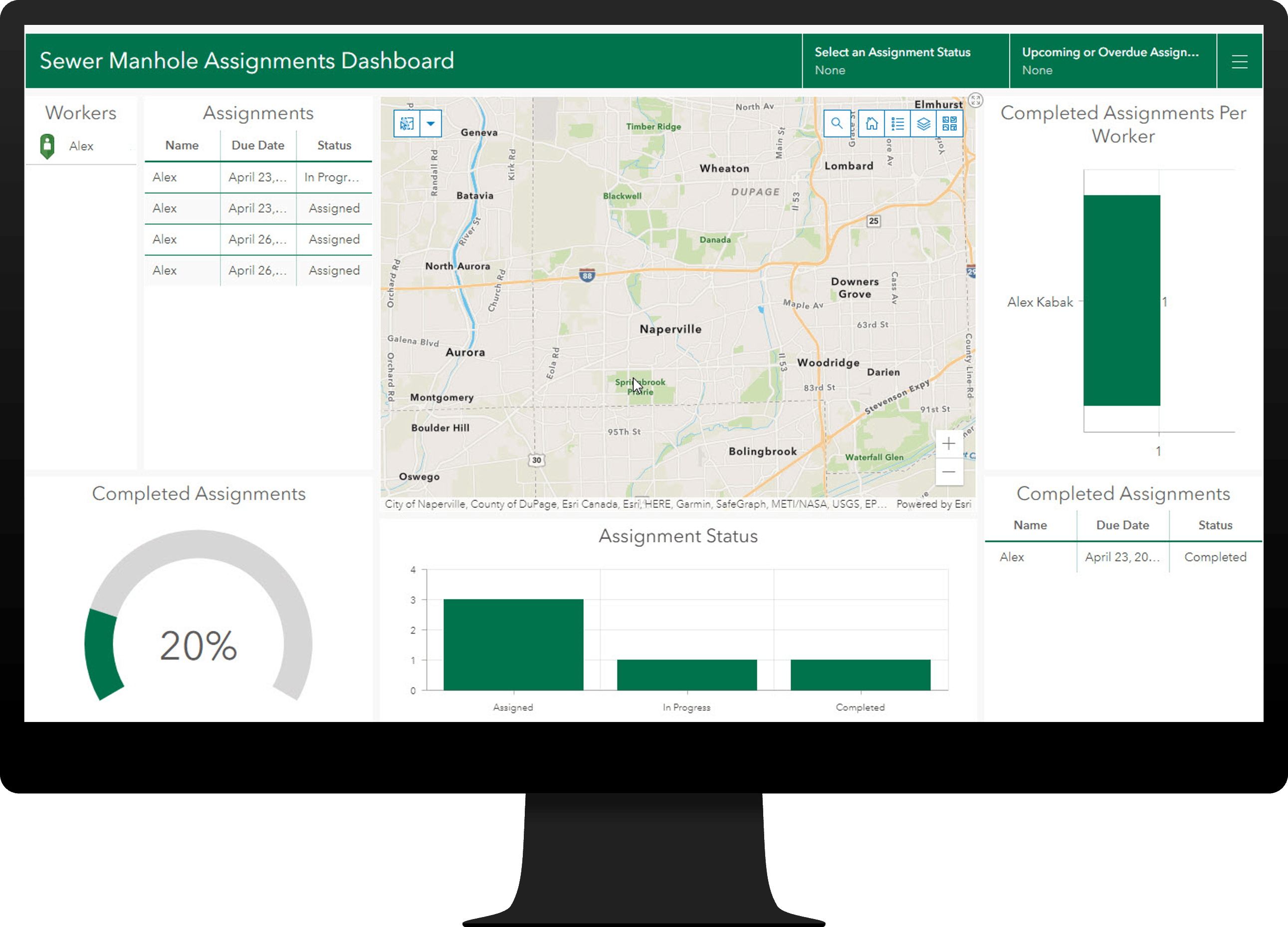
Sewer Manhole Inspections can be used to streamline the inspection of sewer manholes.
Enhanced ArcGIS Solutions
Several existing ArcGIS Solutions have also been greatly enhanced in the April release:
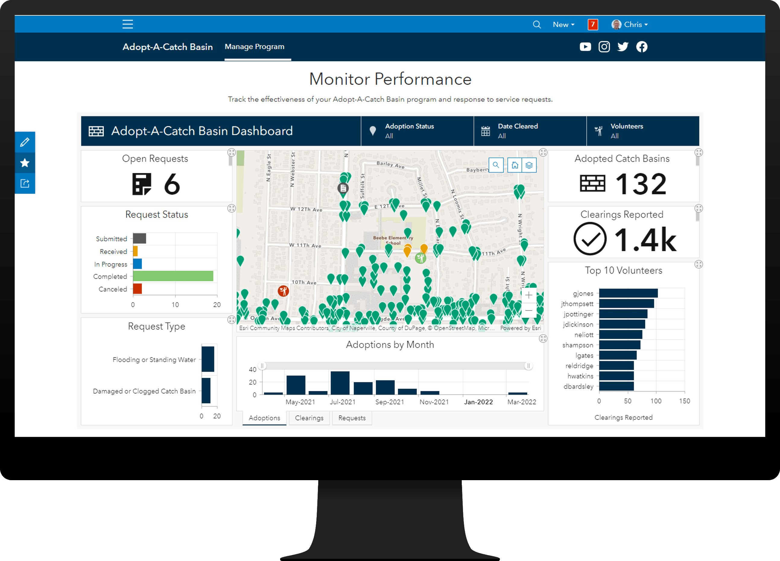
Adopt-A-Catch Basin can be used to operate catch basin adoption programs that allow volunteers to adopt storm drains and clean them for the community.
This release leverages ArcGIS Hub Premium and Community identities. It also includes a collection of new information products that can be used to manage volunteers, collect debris reports, and monitor the effectiveness of the volunteer program.
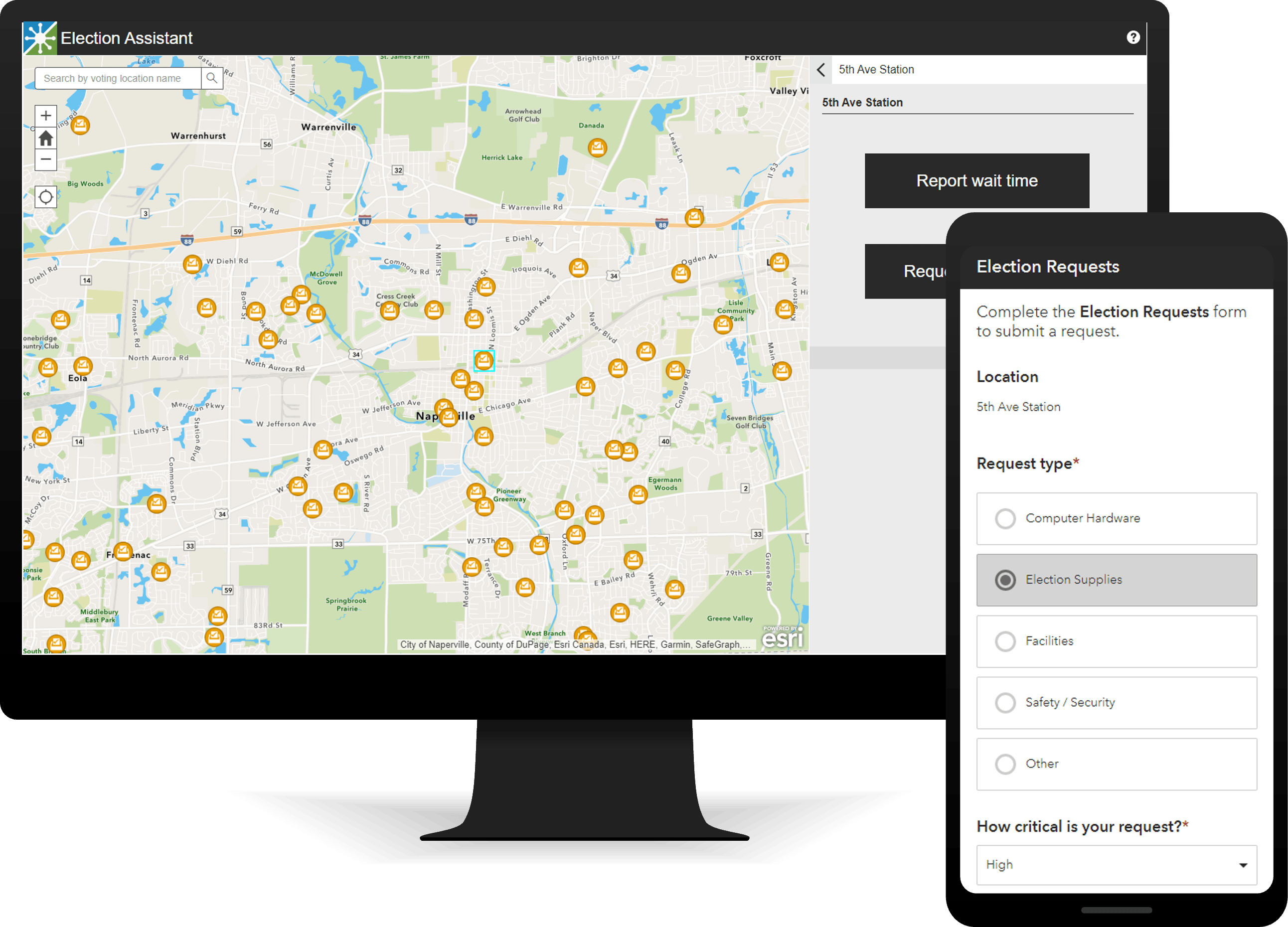
Election Management can be used to manage election day activities, monitor performance, and gauge voter sentiment.
This release includes a new ArcGIS Hub site and collection of new information products that can be used to solicit election workers, conduct ballot chain of custody activities, and monitor election performance.
Election Outreach can be used to educate the public and help voters find an appropriate voting center or Election Day polling place.
This release includes updates to the Promoting Transparent Elections Hub site and related applications (My Elected Representative, Election Polling Places, and Voting Centers).
Election Results can be used to share results tabulated on election night and historical results shared after each election.
This release includes a new responsive Election Results experience and support for nonpartisan contests.
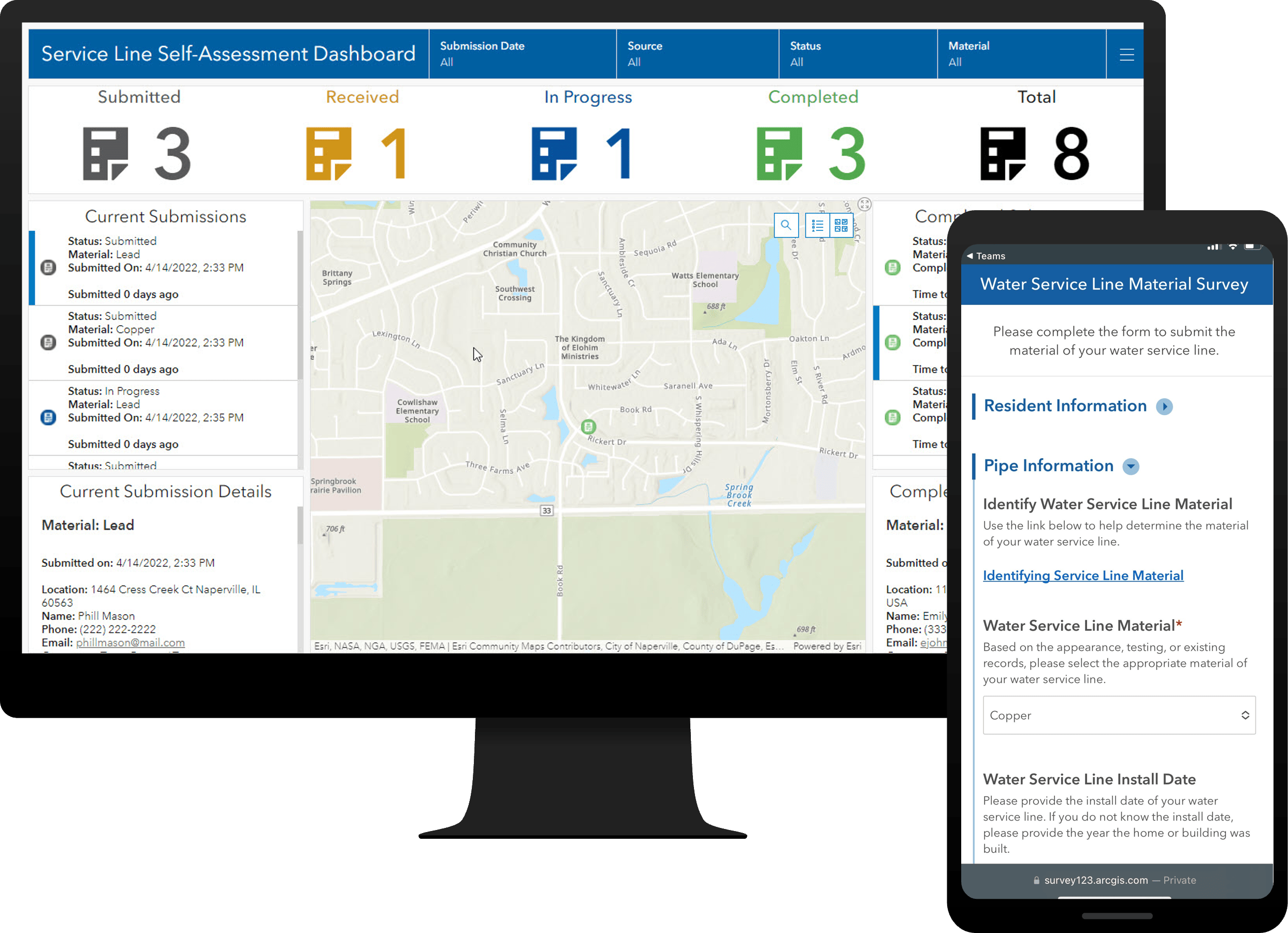
Lead Service Line Inventory can be used to develop a lead service line inventory and monitor the replacement of service lines required to comply with the Environmental Protection Agency’s (EPA) Lead and Copper Rule Revisions.
This release includes a new lead service line material survey and related applications.
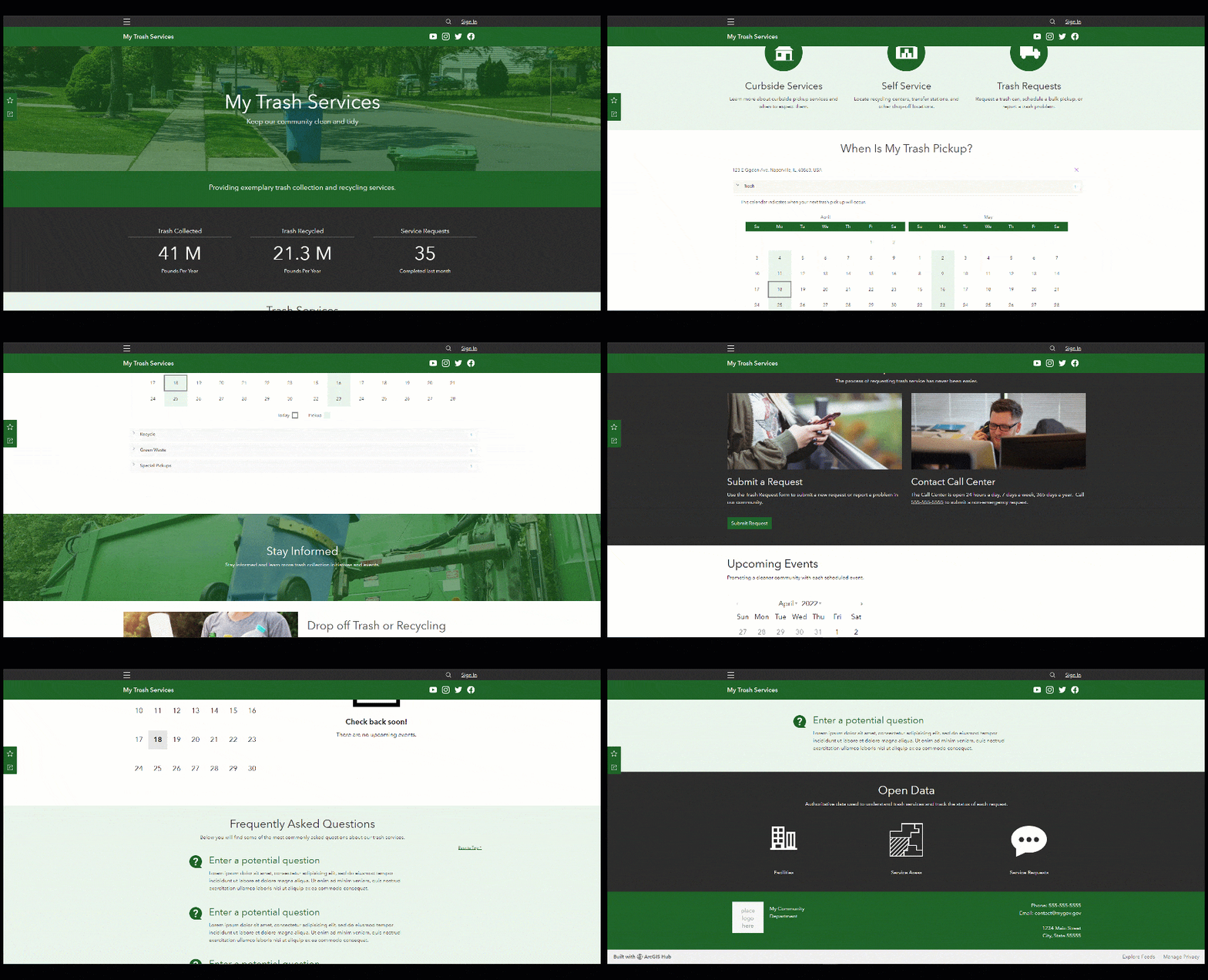
My Trash Services can be used to share waste pickup schedules and recycling information with the general public.
This release includes a new ArcGIS Hub site and collection of new information products that can be used to share trash services with the public.
And that’s not all. Several other solutions were also updated in this release:
- Citizen Problem Reporter
- Operations Management
- Readiness Management
- Resource Management
- Winter Weather Operations
- Winter Weather Outreach
We also renamed our collection of homeless solutions so they reflect the complicated nature of the subject and the intended use of the solutions.
Learn more about any general improvements, lifecycle changes and issues that have also been addressed in this release.
Article Discussion: