During the April 2018 ArcGIS Solutions release 12 new Solution Products were added to ArcGIS. Additionally, 35 Solution Products were updated and 8 Solution Products changed lifecycle phase.
ArcGIS Solutions are industry specific app and capability configurations that are available at no additional cost to organizations licensing ArcGIS.
New Solution Products
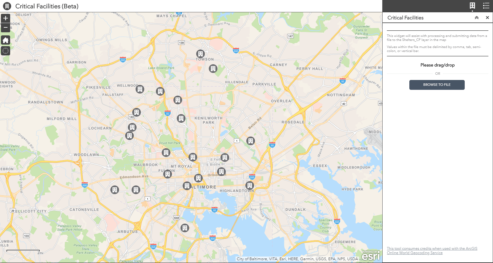
Critical Facilities (Beta) enables emergency management agencies to share information about critical facilities with a community
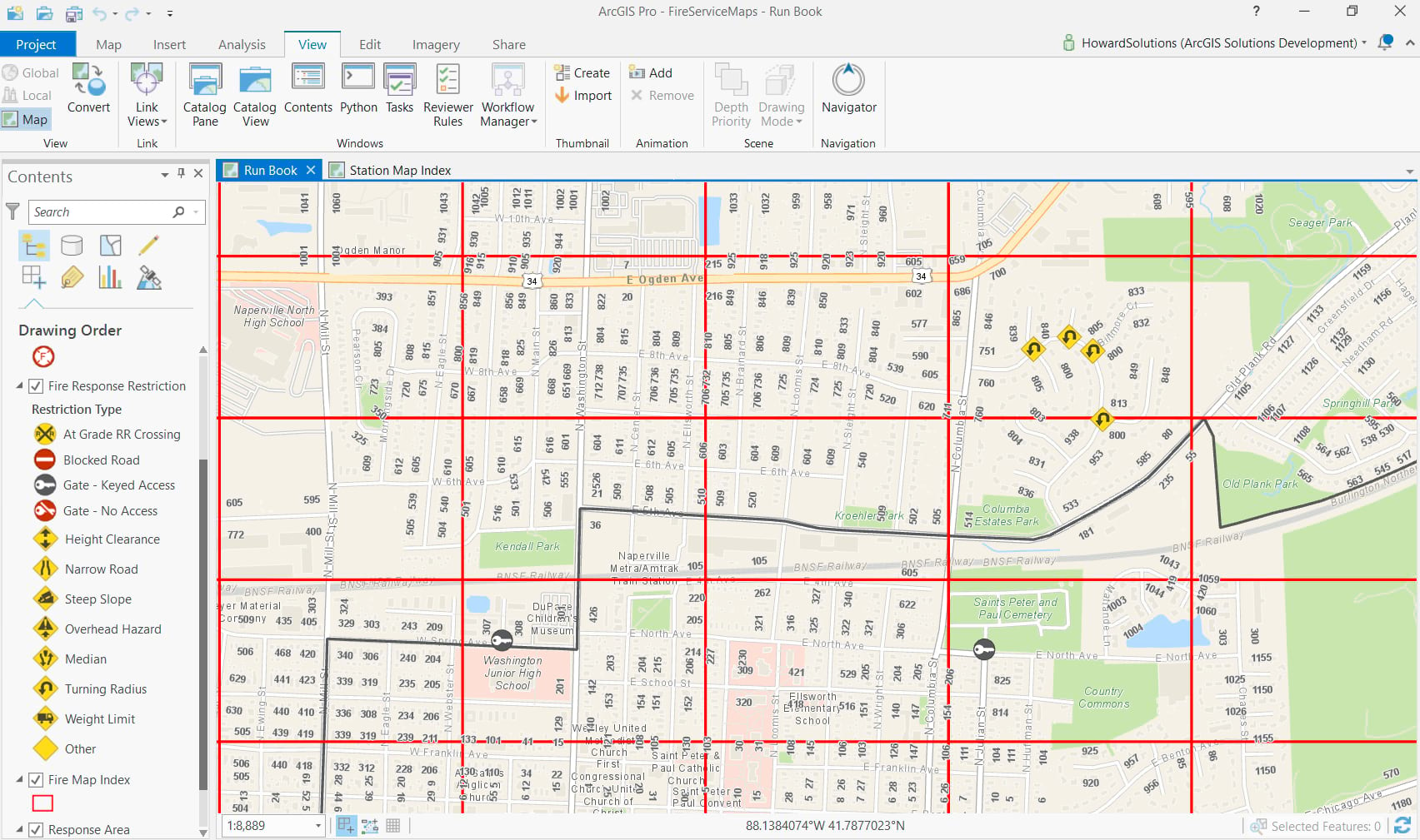
Fire Service Maps enables fire departments to create fire district wall maps and run books
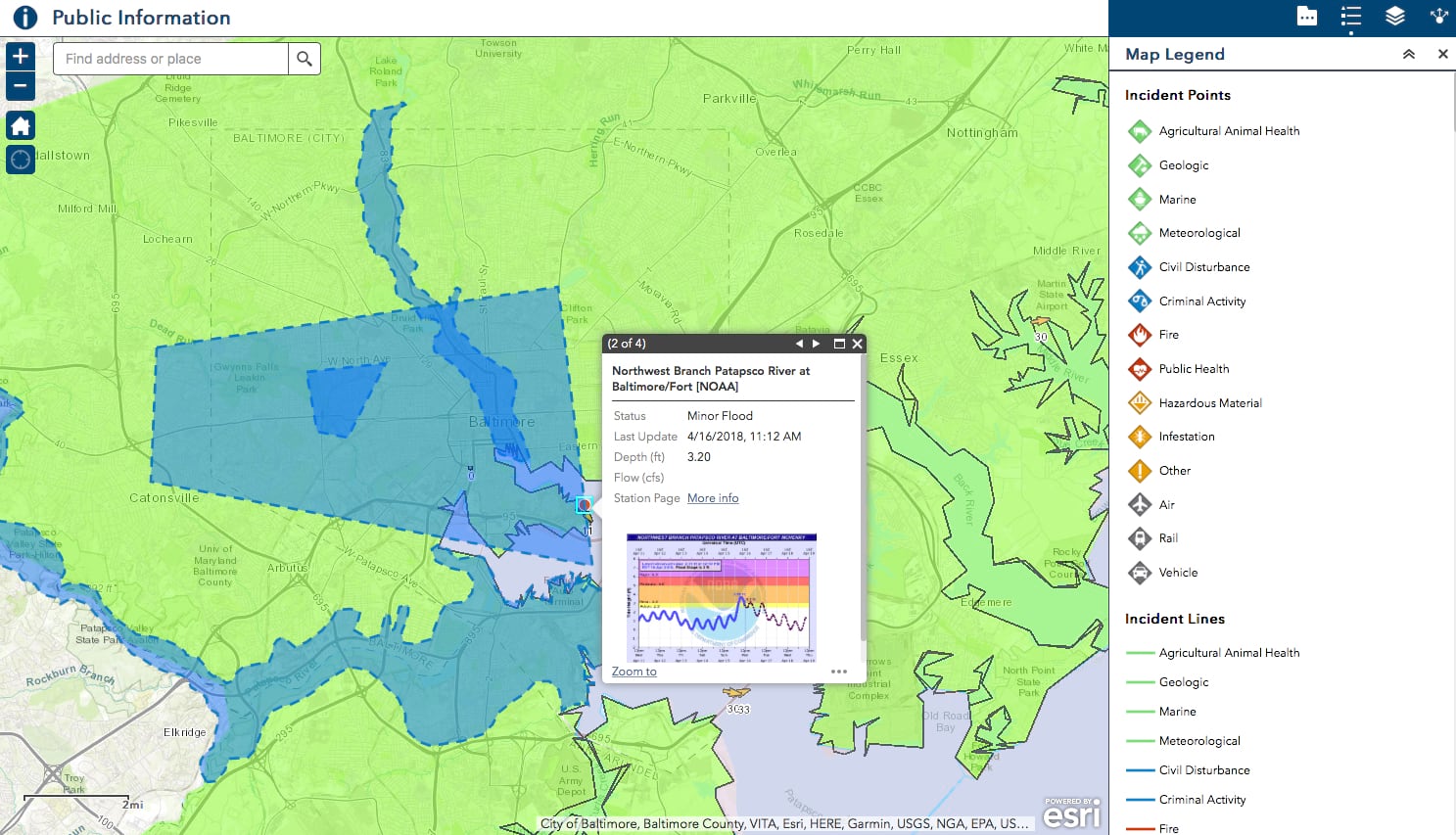
Public Information communicates authoritative information about incidents with the public
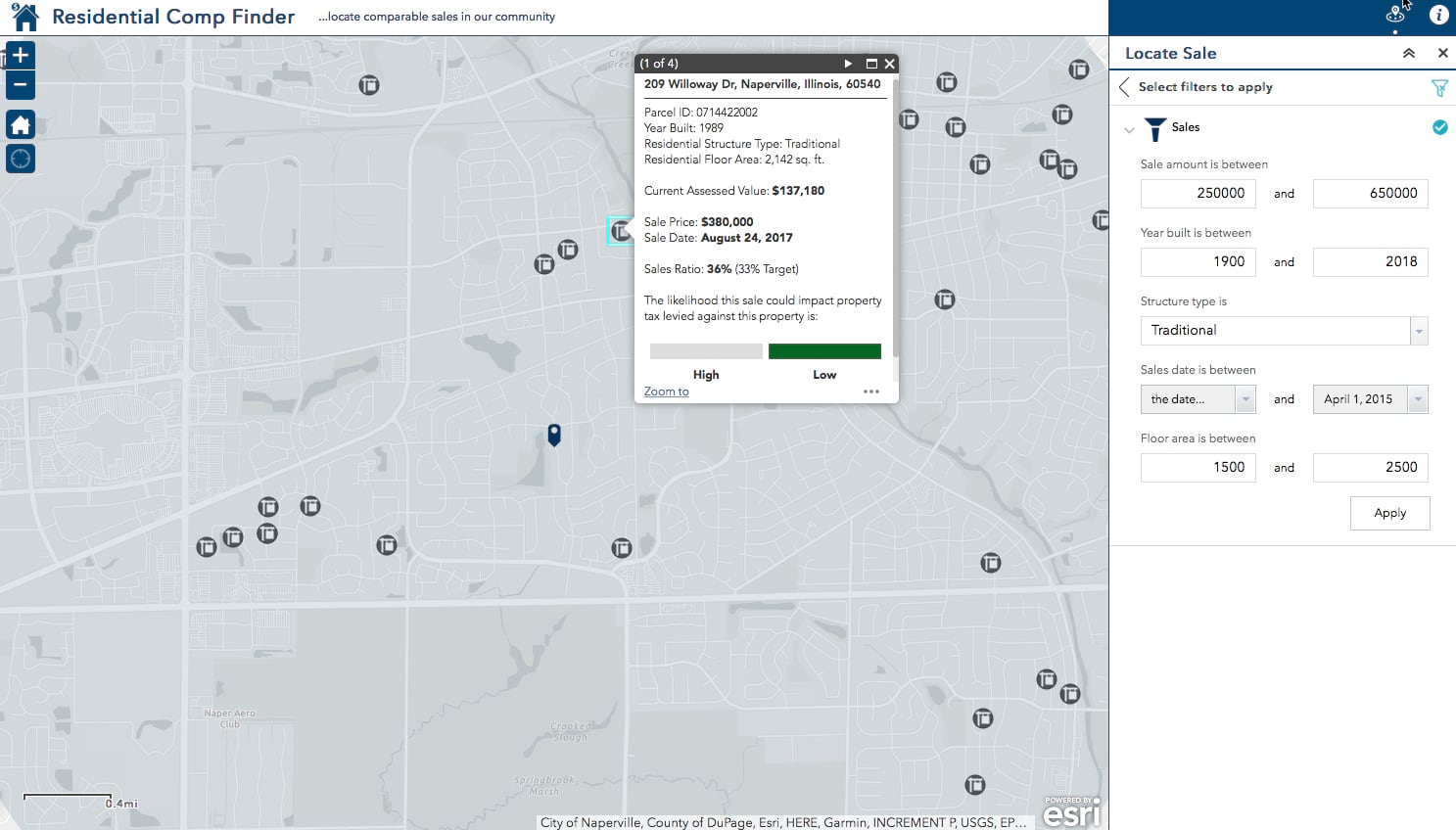
Residential Comp Finder (Web App Builder for ArcGIS) helps the public, real estate agents, and appraisers find comparable sales and related property information
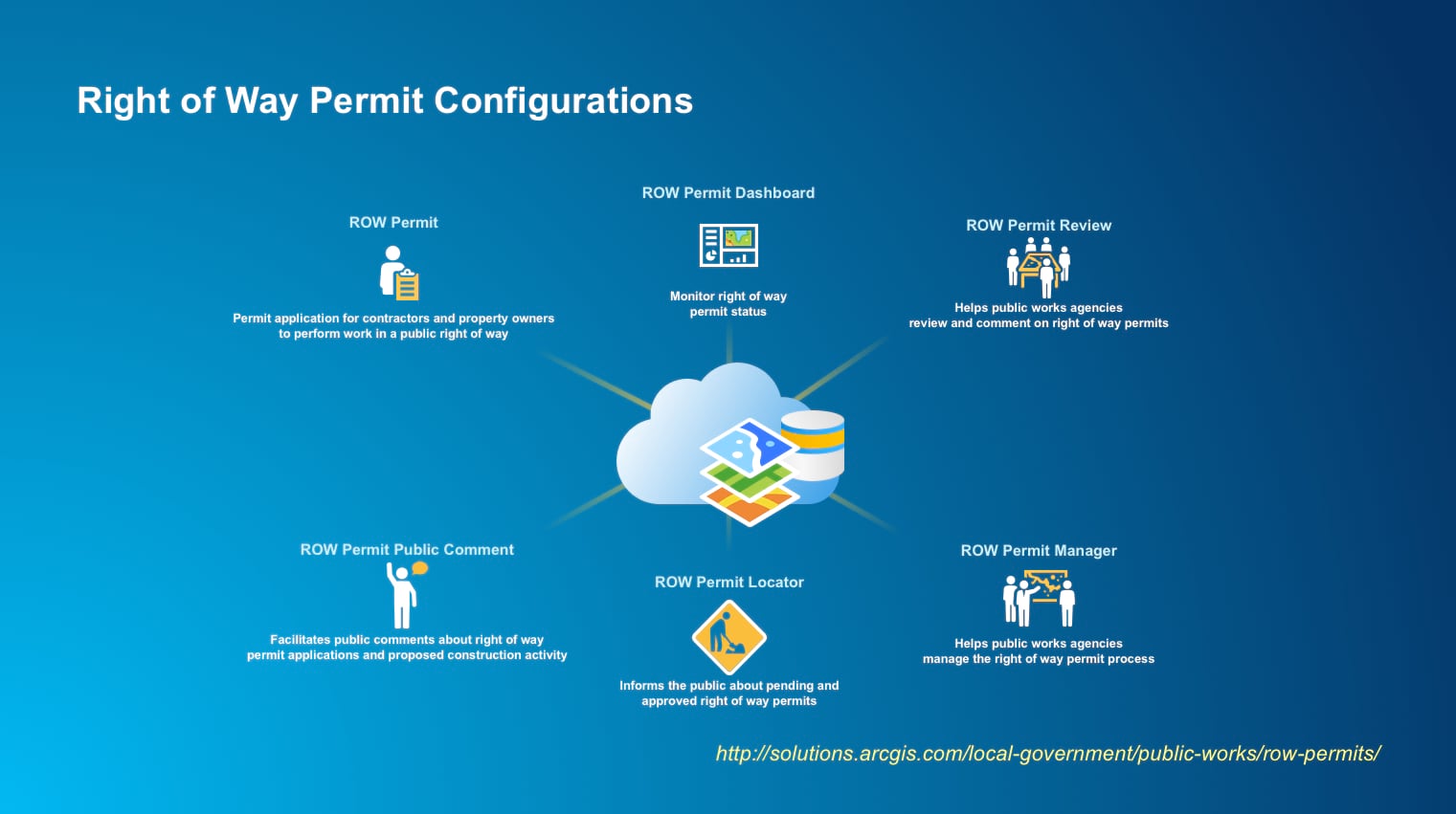
ROW Permit streamlines permit applications to perform work in a public right of way
ROW Permit Dashboard deploys a dashboard to monitor right of way permit status
ROW Permit Locator enables the public to see pending and approved right of way permits
ROW Permit Manager helps public works agencies manage the right of way permit review process
ROW Permit Public Comment facilitates receiving public comments on right of way permit applications and proposed construction activity
ROW Permit Review helps public works agencies review right of way permit applications
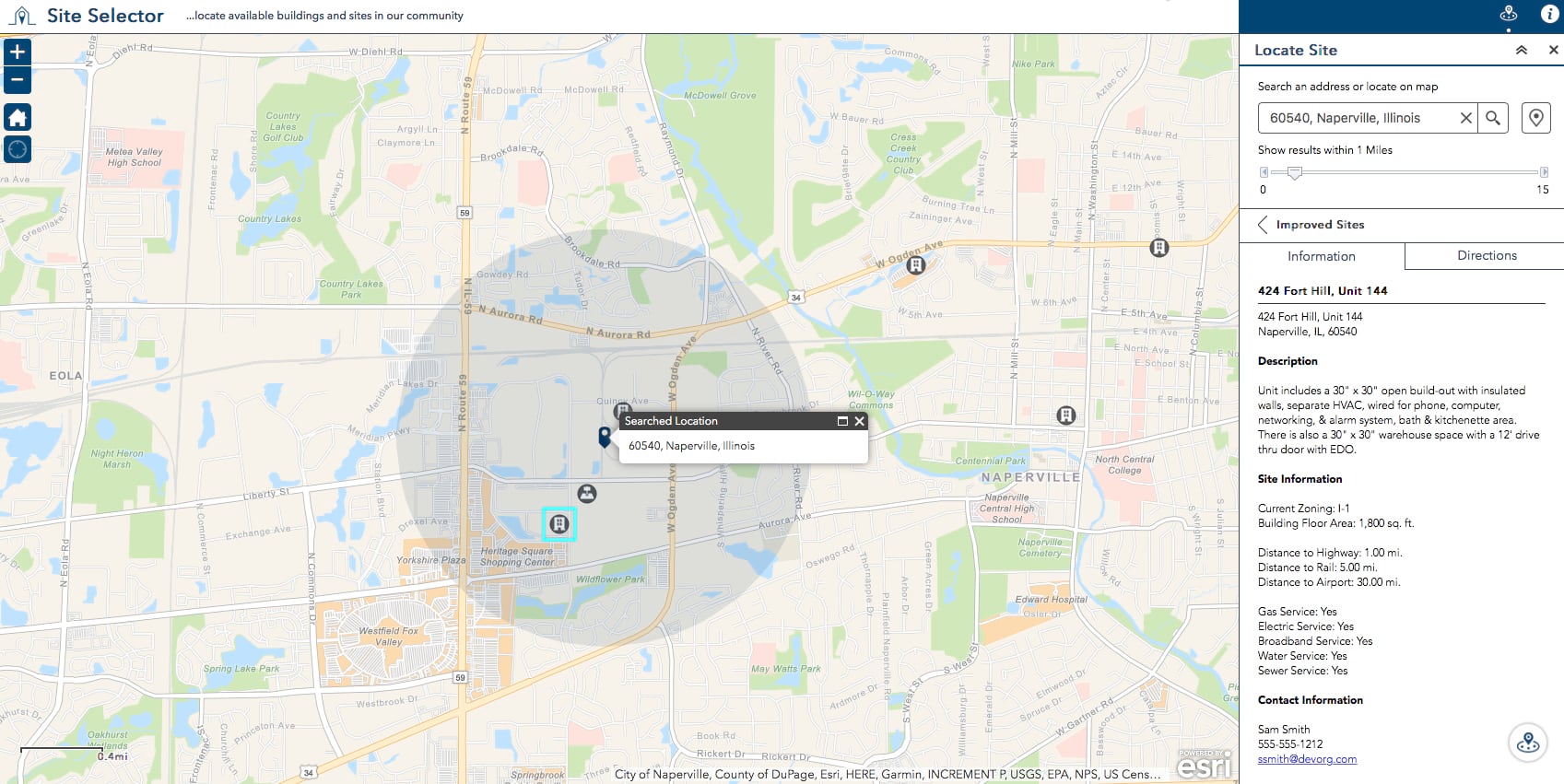
Site Selector (Web AppBuilder for ArcGIS) helps businesses locate available buildings and sites in a community
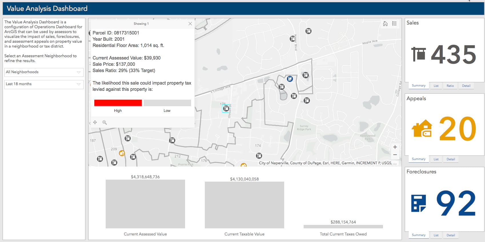
Value Analysis Dashboard (V2) enables assessors to visualize the impacts of property sales, foreclosures, and appeals on property values
Updated Solution Products
- As-Built Mapping
- Beach Landing
- Capital Project Journals
- Citizen Reports
- Clearing Operations
- Community Impact Dashboard
- Common Operational Picture
- Damage Assessment
- Debris Reporting
- Drinking Water Advisory
- Events Map Gallery
- Gridded Reference Graphic
- Health & Safety Reports
- Historical Election Results Gallery
- Gas Utility Network Configuration
- Incident Analysis
- Incident Status Dashboard
- Invasive Pest Reports
- Invasive Pest Surveys
- Invasive Pest Viewer
- Lead Service Management
- Logistics Planning
- Military Symbology Styles
- Operations Response
- Permit Inspections
- Permit Status
- Situational Awareness Viewer
- Resilience Dashboard
- Restaurant Inspections
- Restaurant Inspection Results
- Stormwater Viewer and Editor
- Transportation 511
- Water Quality Inspections
- Water Quality Status
- Water Utility Network Editing and Analysis
Product Lifecycle Changes
- Moved Field Interview to the mature lifecycle phase
- Moved Fire Run Book to the mature lifecycle phase – capabilities replaced with Fire Service Maps
- Moved Fire Wall Map to the mature lifecycle phase – capabilities replaced with Fire Service Maps
- Moved Residential Comp Finder (Javascript) to the mature lifecycle phase – capabilities replaced with Residential Comp Finder (Web App Builder for ArcGIS)
- Moved Site Selector (Javascript) to the mature lifecycle phase – capabilities replaced with Site Selector (Web AppBuilder for ArcGIS)
- MovedValue Analysis Dashboard (V1) to the mature lifecycle phase – capabilities replace with Value Analysis Dashboard (V2)
- Retired ArcGIS for Electric Utilities Layer Catalog
- Retired ArcGIS for Water Utilities Layer Catalog

Commenting is not enabled for this article.