Extend ArcGIS Online with capabilities for hosting, analyzing, and streaming imagery and raster data. ArcGIS Image for ArcGIS Online marks an expansion to the ArcGIS Image product suite, comprised of ArcGIS Image Analyst for ArcGIS Pro, ArcGIS Image Server for ArcGIS Enterprise, and ArcGIS Image Dedicated. Each product in the suite provides comprehensive tools and services for imagery data management, visualization, and analysis, wherever your data lives—on your desktop, in an enterprise, ArcGIS Online, or your existing cloud storage.
Easily integrate imagery into your geospatial workflows
Imagery and remote sensing data are now a foundational source of information for most geospatial workflows across every industry. For example, imagery can help formulate strategies to combat climate change, maximize crop yields, and so much more. To help you capitalize on this next big data revolution, ArcGIS Online empowers you to seamlessly work with vector and imagery data together in one system. Derive richer business insights by combining these data sources to improve your situational awareness and increase operational efficiency.
Make growing imagery collections accessible
The days of imagery trapped in stacks of hard drives or disparate locations are over. Increase the value of your imagery by putting it into the hands of those who need it. Host, manage and then stream your imagery and raster collections as intelligent, tiled, and dynamic imagery layers ready for immediate visualization and analysis. Stream large construction sites, cityscapes, and entire regions, as well as post-event imagery, rectified scenes, ortho mosaics, elevation, multidimensional or categorical rasters so hundreds or even millions of people can put it to use.
Unlike tile cache, tiled imagery layers are ready for analysis. These layers retain pixel information, allowing you to obtain pixel values for any location, set different enhancements and renderings.
If you have overlapping, temporal, and multiresolution imagery, ArcGIS Image for ArcGIS Online also has you covered. Dynamic image services provide server-side dynamic mosaicking and on-the-fly processing, giving users rich analysis capabilities in web and desktop applications and performance over low bandwidth networks.
Free yourself from infrastructure management
Save on infrastructure costs and maintenance using a secure, scalable, and performant cloud environment managed by Esri. Deploy ArcGIS Image as a SaaS using ArcGIS Online to upload, host, analyze and stream your imagery. If you already have large image collections in Amazon Web Services (AWS) or Microsoft Azure cloud, consider our managed SaaS offering, ArcGIS Image Dedicated. This option brings processing, analytics, and streaming capabilities directly to your imagery.
In addition to relieving you from infrastructure management, imagery management has also been simplified. Now, you can manage imagery in under five steps from your web browser.
To create an image service in ArcGIS Online, start by clicking the Create Imagery Layer button. Then, choose the layer type you want to make, configure the layer, upload your data, and set the appropriate properties – it’s that simple. Once this is complete, your data is ready for visualization and analysis.
Quickly generate insights from imagery
Run image analysis and raster analytics at site, city, country, and global scales. Benefit from an intuitive web experience or opt for a rich ArcGIS API for Python that provides the flexibility to develop custom raster functions.
- Detect change: Apply deep learning to analyze images of built and natural environments.
- Inspect assets: Upload images of your investments and infrastructure, then apply image processing and analysis to evaluate the conditions of those assets.
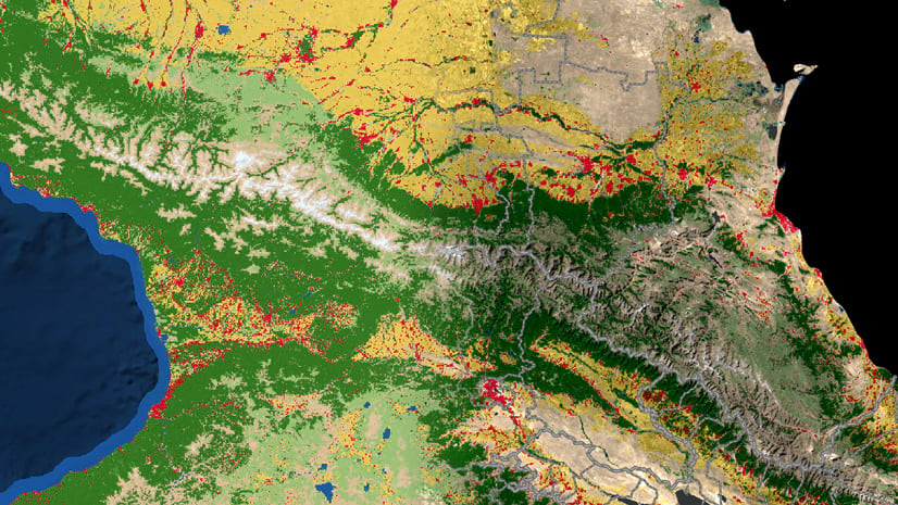
- Monitor vegetation: Examine multiband imagery to extract information about vegetation coverage and health.
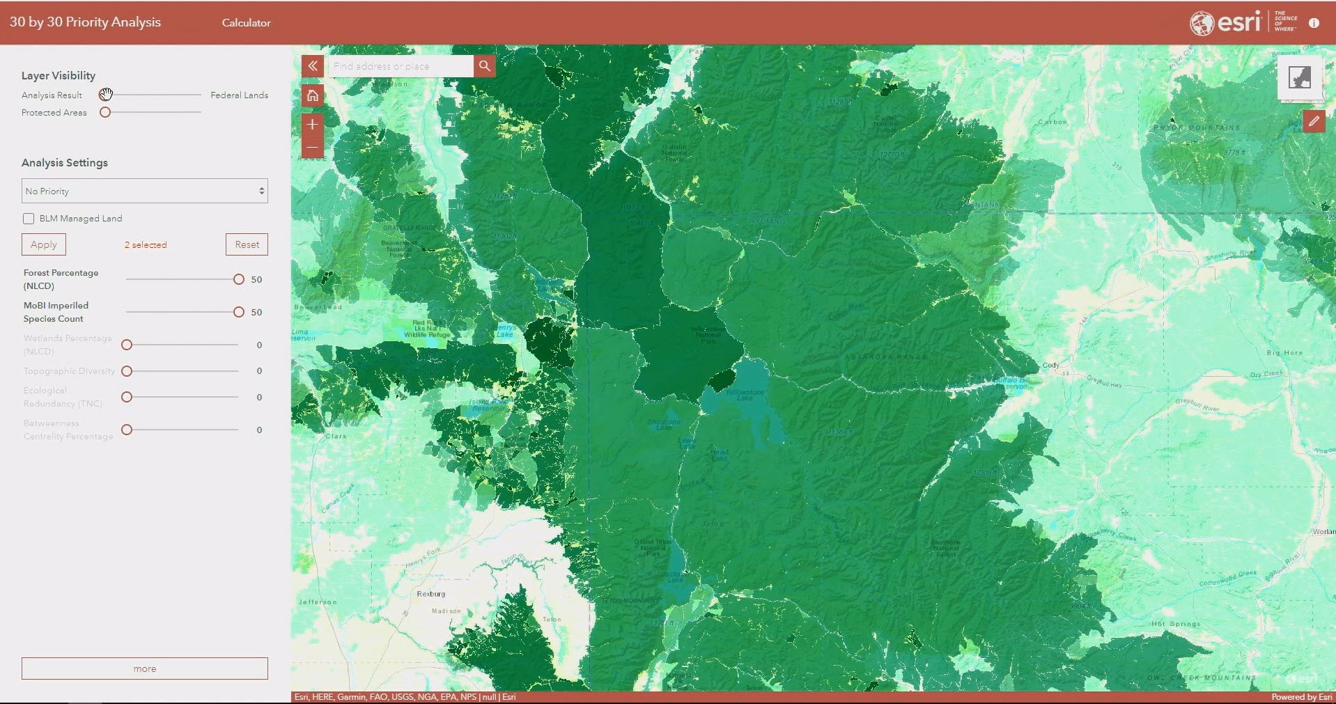
- Trace water flows: Locate areas that contribute downstream water flow to forecast available water supply, evaluate the environmental impact of planned projects (like a new dam), and design roads and storm drains.
- Plan routes and networks: Analyze imagery to identify the optimal paths and connections between areas, enable road and supply networks in remote areas, and plan wildlife corridors among protected habitats.
- Build your own workflow: Use the Raster Function Editor within ArcGIS Online to chain together one or more raster functions to produce a processing workflow.
Easily integrate imagery into your storytelling
Share the insights you gain with internal and external stakeholders as interactive apps, dashboards, and reports to drive faster and more effective decision-making. The imagery and analysis results you create are saved as image services. These services make it easy for you to integrate with the rest of ArcGIS.
Get started today
- State government: Manage imagery and raster data from construction projects, parks & recreation areas, brownfield sites, and provide awareness for first responders.
- Local government: Use your data to monitor assets, perform inspections, conduct tax assessments, manage infrastructure, model flood, and do suitability analysis.
- National government: Share national mapping outputs, prepare for and respond to natural disasters, monitor agriculture, conduct assessments, and perform yield prediction.
- Sciences, education, and conservation: Research climate change, biodiversity, sustainability, and more.
- Natural resources: Monitor and manage vegetation and wildlife, conduct site surveys, and perform suitability analysis.
Explore ArcGIS Image for ArcGIS Online and begin integrating imagery into all your workflows.




Article Discussion: