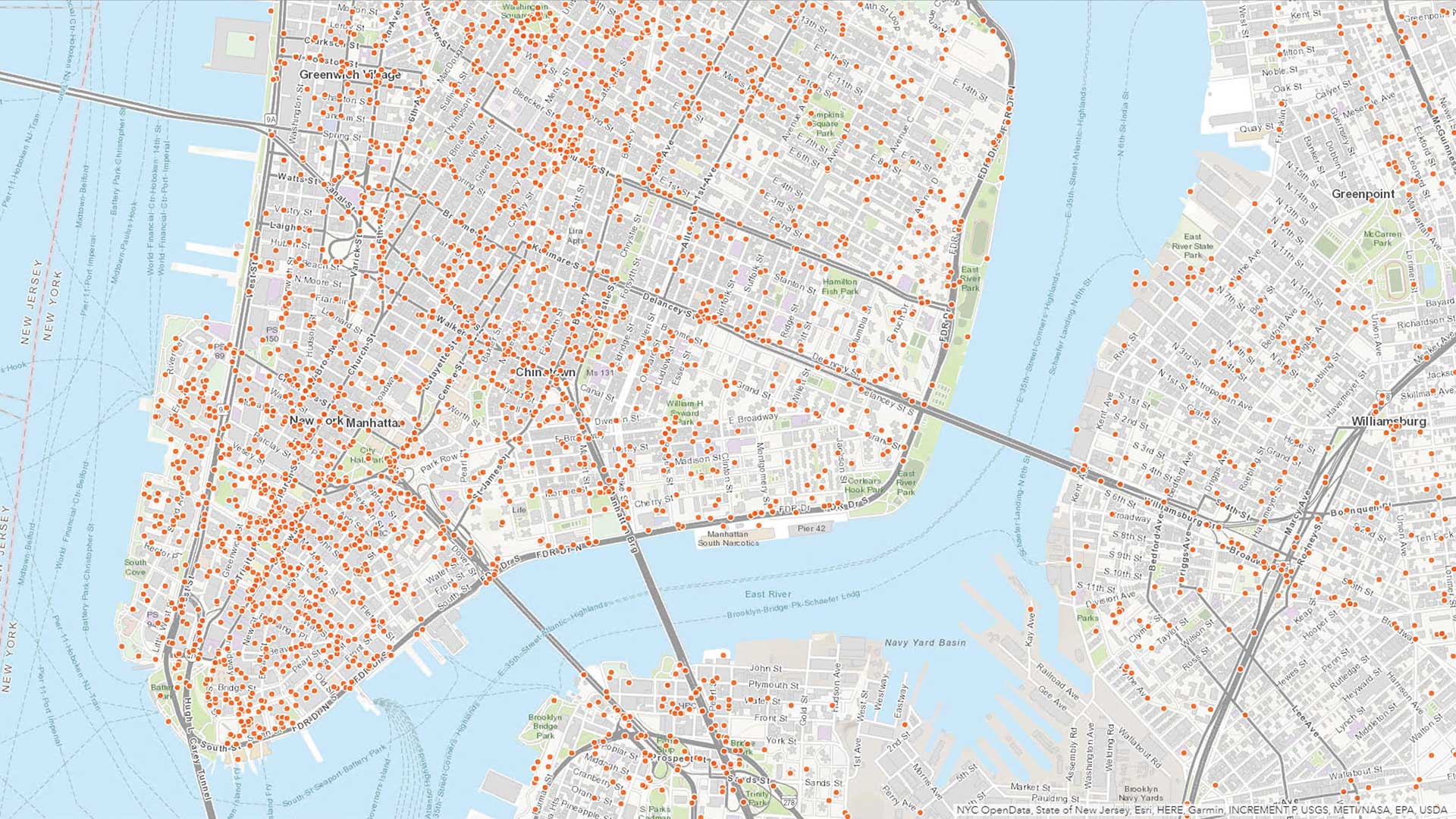
displaying 2150 results
The City of Gresham, Oregon, implemented ArcGIS Enterprise and LucityAM to improve its critical public infrastructure data.
The information services department used Operations Dashboard for ArcGIS to improve how service requests from citizens are handled.
ArcGIS Analytics for IoT can help organizations use the big, real-time data generated by IoT devices to gain spatial insight and awareness.
Want to know when the air quality’s too bad to exercise outdoors or where to get alternative fuel? The South Coast AQMD app does both.
With their innovative solutions and comprehensive services, Esri partners help users get the most out of Esri technology.
For property tax assessors, operational and analytical dashboards are a great way to keep people informed so they can make good decisions.
Portugal’s Ministry of Internal Administration built a geospatial platform that lets security personnel more easily integrate data.
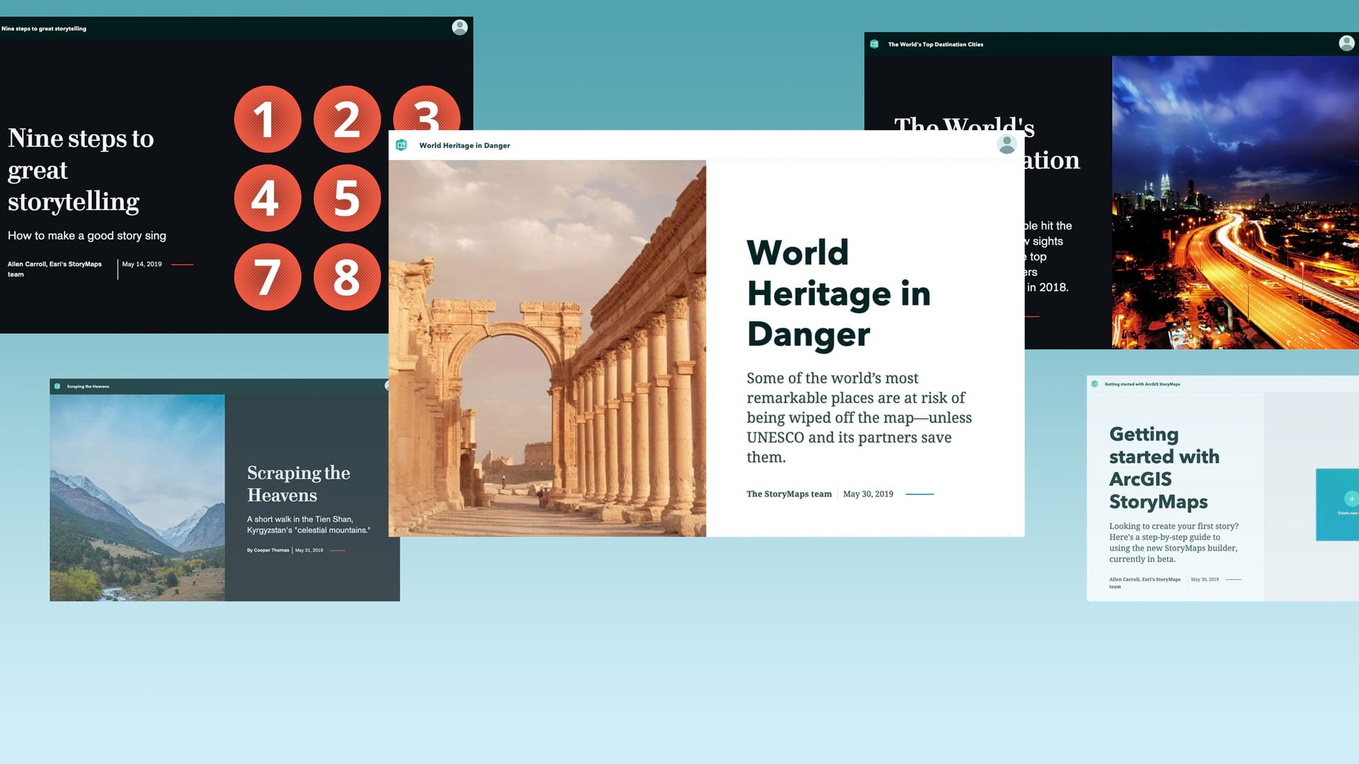
To help you better tell your stories—simply, powerfully, and with style—Esri has developed ArcGIS StoryMaps.
The South Coast AQMD app gives users location-based air quality information for greater Los Angeles, California.
Presentations at the Geodesign Summit demonstrated the reach of geodesign into new domains such as urban economic policy and seaport management.
While geospatial data is key to science, governments, and businesses, it is difficult data to share securely. But a solution is coming.


