displaying 2503 results

You can go to the Esri Academy website and create a learning plan tailored to your professional needs or personal interests.
EuclidHL is an AI-powered, community-specific planning and zoning assistant that is always available and interfaces with ArcGIS technology.
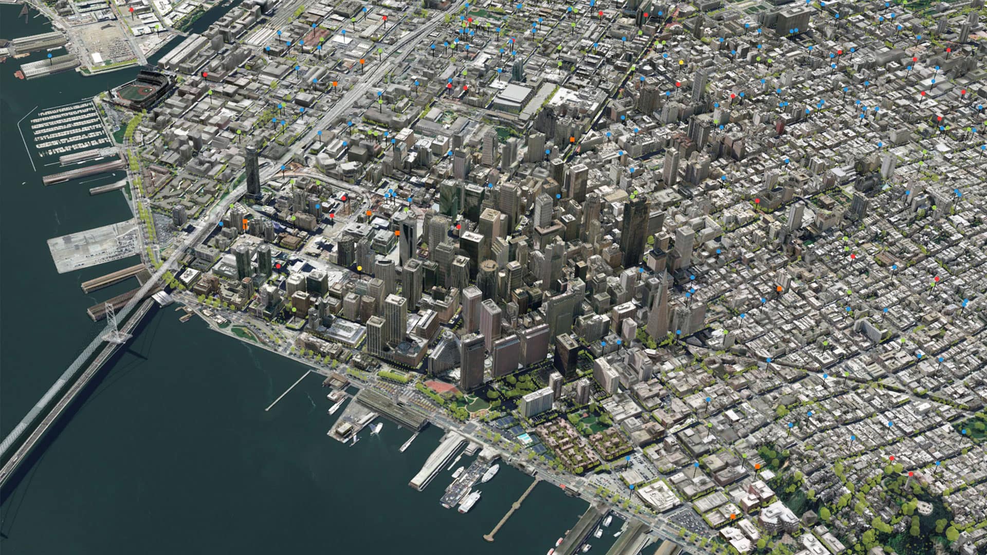
With space at a premium and billions of dollars and city well-being on the line, what techniques should a city use to shape the future?

The Move Tucson app allows the public to explore how the city’s transportation plan will change community mobility.
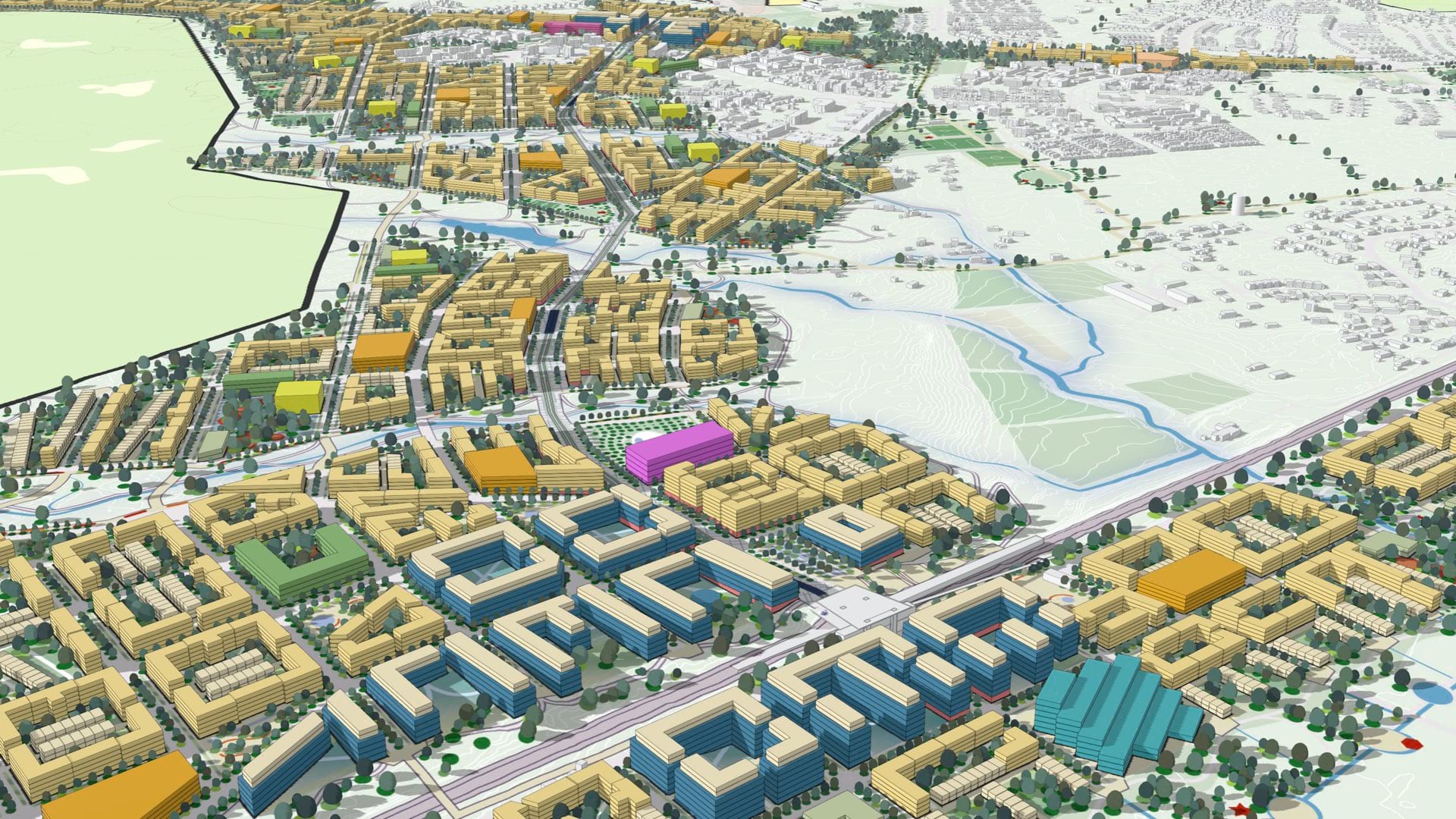
A detailed plan helps Uppsala focus its growth plans on sustainable outcomes and test innovative development ideas before construction begins.
For one city, it boils down to a single page of bulleted text that simply describes what the GIS team would like to do.
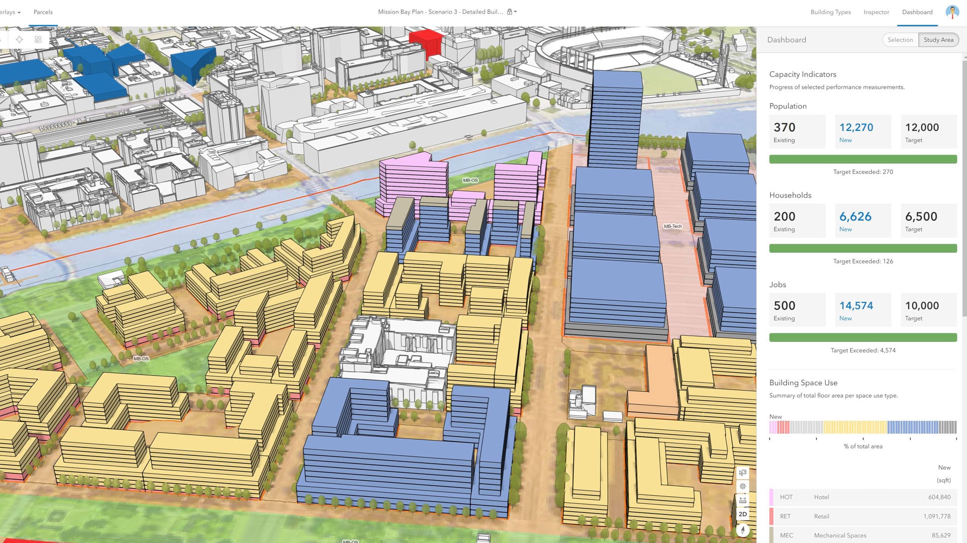
With an immersive 3D experience, ArcGIS Urban allows planners, governments, and citizens to visualize proposed development in their cities.

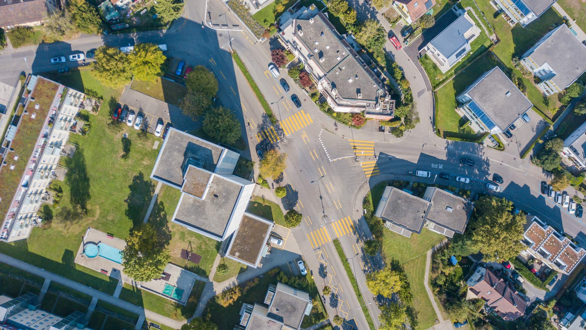
Where and how should a community grow? Where should a city build sidewalks and trails to lower the risk of accidents and encourage walking?

he most inspiring part of today’s planning environment is that planners don’t also have to be GIS professionals.
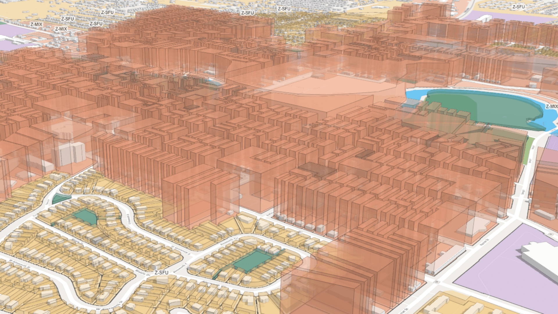
A digital twin for the Detroit region shows in 3D the development planned for the next 30 years.

Victoria’s Department of Transportation and Planning has developed innovative custom web apps that streamline processes and cut manual work.
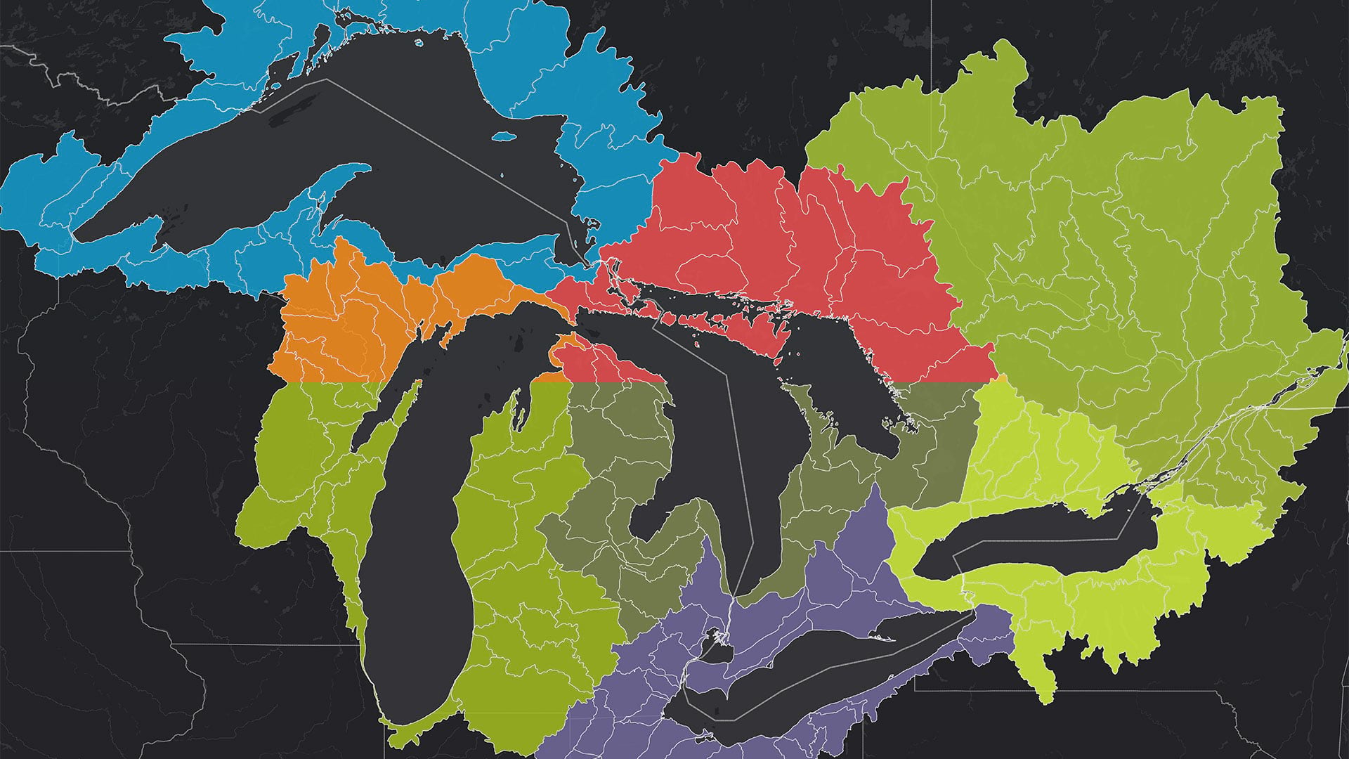
The Tipping Point Planner Program helps participants link watershed data to local decision-making processes to better plan for the future.