Miguel Amérigo believes that poor data sharing and lack of coordination are major culprits behind the global construction industry’s long-standing productivity issues.
“Information is power, [but] it’s very difficult to exchange information among the members of the value chain, which is something that happens all the time in other industries,” says Amérigo, corporate head of R&D and innovation at OHLA, a construction industry leader headquartered in Madrid, Spain.
To address this, Amérigo and his team at OHLA are pioneering a collaborative approach using drone imagery, digital twins generated by geographic information system (GIS) software, and building information modeling (BIM) data. They’re piloting the approach on a $47 million bypass road in Spain’s Cáceres province that will serve 5,000 daily drivers. With a dashboard powered by GIS, project managers can easily share real-time updates, field data, and worksite representations with subcontractors, community members, the project owner, and regulators.
“There are a lot of actors involved in a construction site,” Amérigo says. “GIS helps us very much regarding communication and coordination and collaboration.”
OHLA and the Monumental Task of Moving Materials—and Data
The Malpartida bypass road project, awarded to OHLA by Spain’s Ministry of Transport, Mobility, and Urban Agenda (MITMA), extends six miles through multiple municipalities.
Construction requires massive amounts of material and data—12,000 cubic meters of concrete, 10 tons of asphalt, and 65,000 drone images. Workers must be kept safe, and residents expect to be apprised of possible disruptions to their schedules.
As blasting holes are drilled and cement is poured, GIS, BIM, and drones provide leaders visual updates on the project and tools to manage communication among stakeholders.
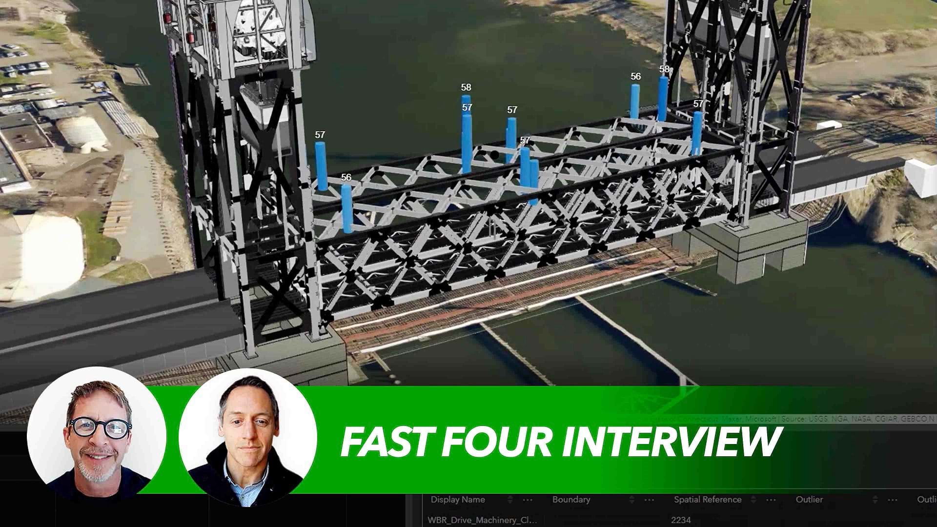
From a single screen, contractors access a 2D map of the area surrounding the road, a 3D digital twin of the entire worksite (see video), and important project documents.
The GIS-based digital twin started delivering value even before construction began, when OHLA helped the client visualize sections of the future bypass.
Now that construction is underway, the dashboard acts as a command center for information exchange and decision-making. Stakeholders quickly find up-to-date data like field surveys, environmental hazard records, or drainage installation assembly parts. That single source of truth reduces miscommunication and speeds up project delivery.
“All information is in one unique place on this dashboard, and you have the possibility to access it at the right moment,” says Manuel Carpintero, OHLA’s design and BIM manager, who oversaw the implementation of the digital twin technology. “You can access [the information] in different ways, but it’s hosted in one place,” he continues. “Everything is clear.”
How GIS, BIM, and Drones Accelerate Project Communication
Instead of sifting through beige folders, a manager can navigate a 3D map to the work area. Clicking a color-coded cone, such as one on an overpass, reveals the name of the responsible security manager and the risk-mitigation plan, such as adding protective barriers with railings.
On large infrastructure projects, transparency with the public is key. If the pathway of the bypass road changes, an OHLA project manager can consult the dashboard to see which landowners might be affected and alert them. “Communication is faster with communities here,” Carpintero says of the new approach.
Executives in many industries are waking up to the potential for digital twins to help businesses navigate space and time. On the Malpartida bypass road project, drones capture site imagery monthly, and the data is fed into GIS software. From different locations on the map, an analyst can open drone photos captured at various stages of construction. The images demonstrate progress to MITMA stakeholders, and compliance to environmental regulators.
Amérigo says the combination of drones, GIS, and BIM has won over workers who might have been wary of new technologies. “When they start to see the work ongoing, the information you have when the problems arise, and you use this platform to solve [problems] and interact with the other stakeholders, they start to see the benefits,” he explains.
The Importance of Visual Accuracy for Communication and Planning
Organizations in search of improved efficiency and communication have turned to GIS to track everything from spare computer parts crisscrossing the globe to the routes of home-visit nurses.
At OHLA, the use of drone imagery and the need to see projects as digital twins spurred a greater role for location technology.
“GIS became the support for this information, which was previously generated and used differently,” Amérigo says. “I think that’s the tipping point for the use of GIS from a general contractor point of view.”
In construction, an accurate site picture is crucial for planning and communication. Location technology and drone imagery give deskbound executives on-the-ground clarity, allowing them to see conditions like a rainy night or measure clearance under an overpass with just a click.
Amérigo, Carpintero, and others believe this new approach could be the technological shot in the arm needed by an industry where productivity decreased by 8 percent from 2020 to 2022.
“We as general contractors, one of our main interests is to promote this kind of collaboration and information-sharing because it’s absolutely a very important point for our productivity,” Amérigo says.
The Esri Brief
Trending insights from WhereNext and other leading publicationsTrending articles

December 5, 2024 |

July 25, 2023 |

November 12, 2018 |

February 1, 2022 |

July 29, 2025 |

August 5, 2025 | Multiple Authors |


