The most mature supply chains are not only more resilient but also 23 percent more profitable than their peers, according to recent research from Accenture.
These companies are investing in next-generation capabilities like generative AI and machine learning at four times the rate of others, the IT consulting firm says in its report, Next stop, next-gen. As a result, they are becoming better equipped to respond to disruptions in today’s dynamic global environment.
However, only 10 percent of companies have attained a high level of supply chain maturity, Accenture found. This could be due to the significant challenges organizations face in the current landscape.
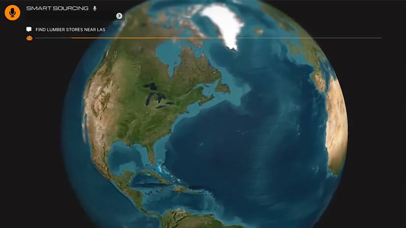
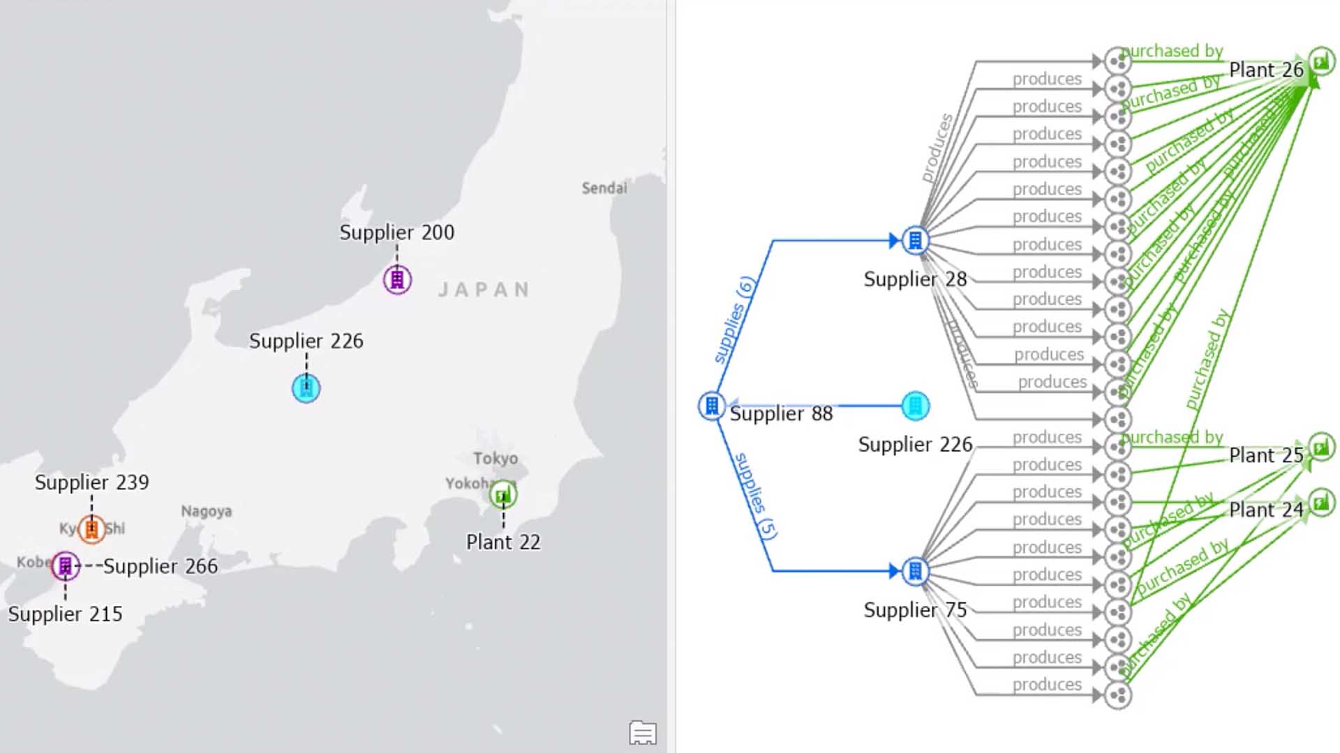
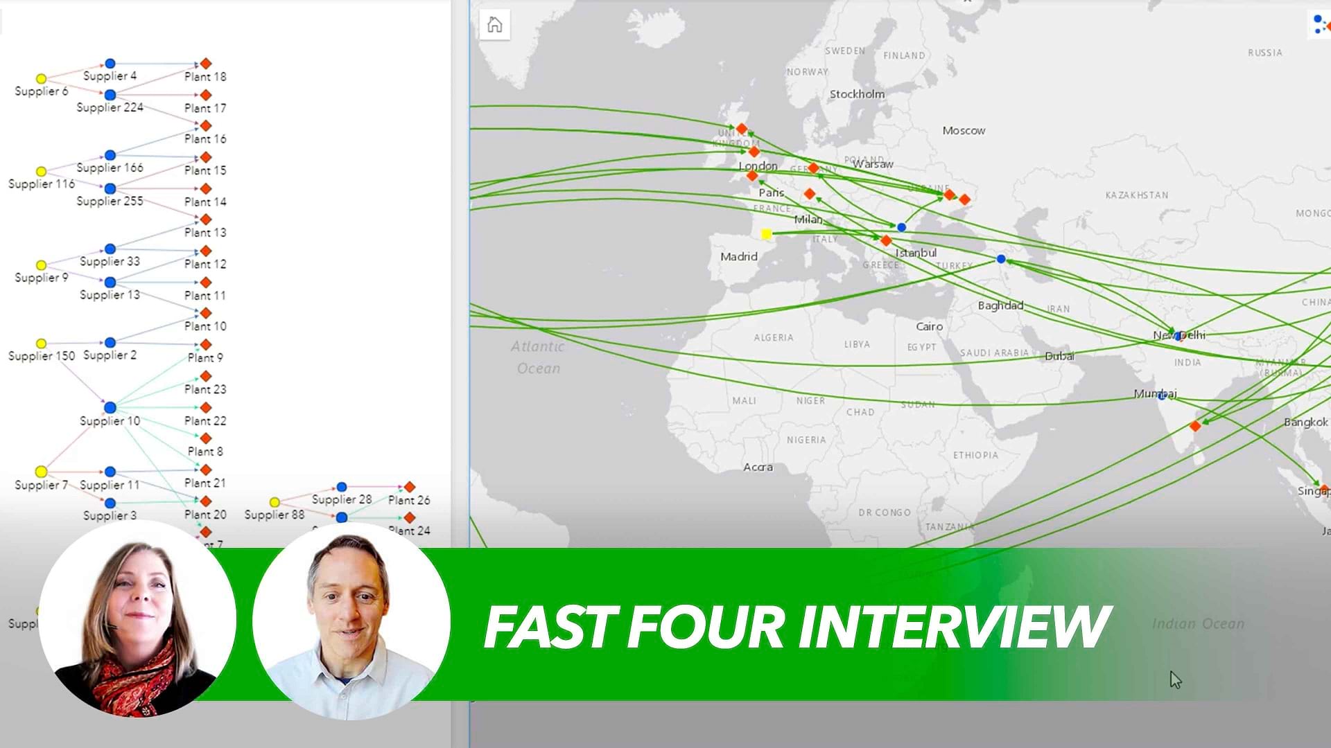
To tackle two paramount supply chain challenges—climate risk and responsible sourcing—leading companies are using the AI-enhanced location intelligence of a geographic information system (GIS). Armed with superior location insights, they are building supply networks that are not only more resilient but also more sustainable.
Building Supply Chain Maturity with Geospatial Technology
Climate change has made extreme weather events more common, compromising transportation routes, damaging infrastructure, and idling production facilities.

The world’s ports are critical transportation hubs that often bear the brunt of severe weather. To monitor conditions in worldwide shipping channels, companies are using GIS technology with AI to analyze near real-time satellite data. The location intelligence this produces helps companies manage climate risks and anticipate how changing weather patterns might affect the movement of goods through vital links in their supply networks.
The International Monetary Fund (IMF) leverages advanced geospatial capabilities to give business leaders early insight into potential supply chain disruptions. IMF’s PortWatch, an open platform leveraging GIS and satellite data, monitors more than 100,000 ships and 1,400 ports around the globe. It gives users near real-time supply chain updates—as well as the ability to simulate impacts of port disruptions on global trade.
With this visibility, affected organizations can activate contingency plans that lessen the financial and economic impacts of a disruption—a key indicator of supply chain maturity.
Responsible Sourcing with Advanced Analytics
GIS technology and satellite imagery can also play a pivotal role in building more sustainable supply chains. The demand for responsible sourcing has forced companies to become more transparent and strengthen traceability to ensure that materials, products, and services meet ethical and sustainability standards.
One of the world’s largest packaging and pulp companies is leveraging these technologies for detailed oversight of timber tracts and suppliers. The company uses advanced analytics to assess environmental risks, develop biodiversity protection plans, and ensure sustainable logging practices.
It’s among a cohort of companies embracing AI-infused GIS software to monitor supply chains and mitigate damage to natural resources. Greater transparency allows these companies to build smarter supply chains that help protect biodiversity, reduce carbon footprints, and enhance credibility with customers and stakeholders.
Companies looking to boost their supply chain maturity are using advanced analytics and AI-driven location intelligence to spot vulnerabilities. With that visibility, they’re strengthening resilience and reducing the financial risks of volatility by quickly adapting to changes in their supply networks.
The Esri Brief
Trending insights from WhereNext and other leading publicationsTrending articles

December 5, 2024 |

July 25, 2023 |

November 12, 2018 |

April 1, 2025 |

April 29, 2025 |

February 1, 2022 |


