displaying 300 results

Learn about new geospatial resources for the SDGs, how ArcGIS Enterprise supports SAP HANA Cloud, and applying the racial equity workflow.
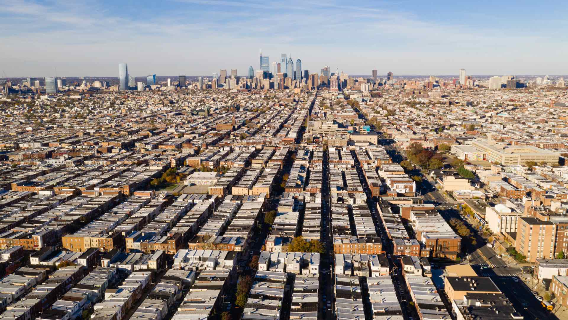
The Philadelphia City Council uses GIS to understand the impacts of pro-growth policies on the city’s vulnerable long-term residents.

Well-versed in planning branch locations, banking execs are now applying location intelligence to challenges like equity and climate resilience.
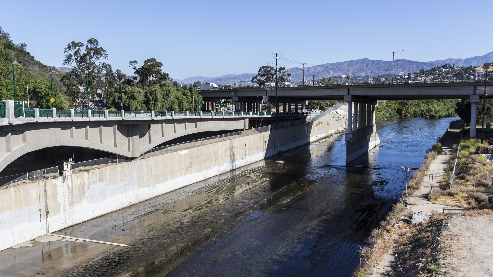
Careful consideration of people and natural processes leads to a holistic approach to LA River revitalization.

Check out park equity in practice using GIS from a former supervisor in a special parks district.

URISA supports climate resilience and addressing climate change impacts through geospatial solutions, workshops, and resources.
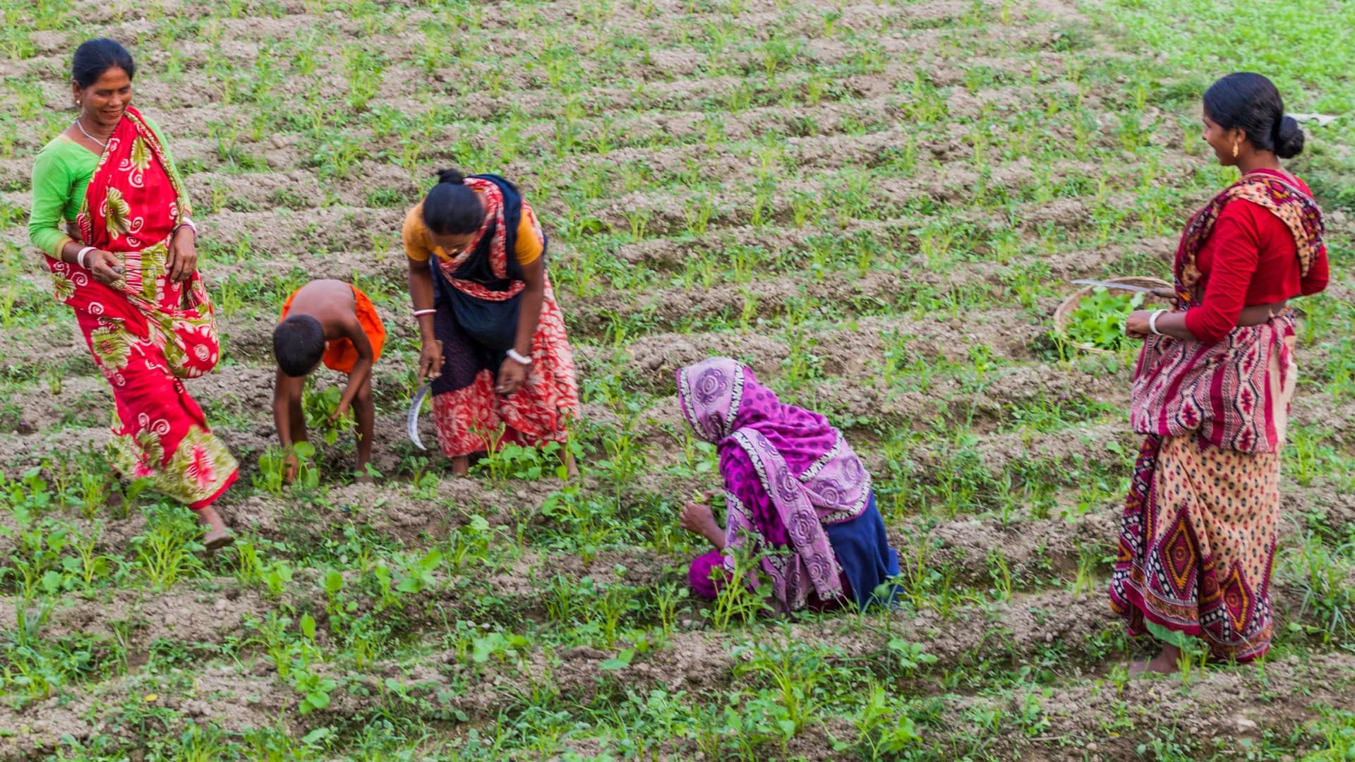
The United Nations and World Bank have found that land record transparency promotes gender equity in global land ownership.

Eva Pereira, the city’s chief data officer, talks about how the City of Los Angeles is using open data.
In this video, Esri’s Clinton Johnson and Diana Lavery dive into the data and workflows to help you operationalize your equity impact assessment.
Never before has there been such a focus on equity as it relates to health, and map-based tools starkly reveal the social and racial inequities.

Charles Lee was on the ground floor of the environmental justice movement, creating maps to show the insidious health impacts on people of color.

As companies turn social responsibility commitments into action, a geographic and ethnic patchwork of optimism emerges.