displaying 3265 results

National Geospatial Data Assets (NGDA) and Infutor geocoding now available in ArcGIS to improve geographic knowledge.
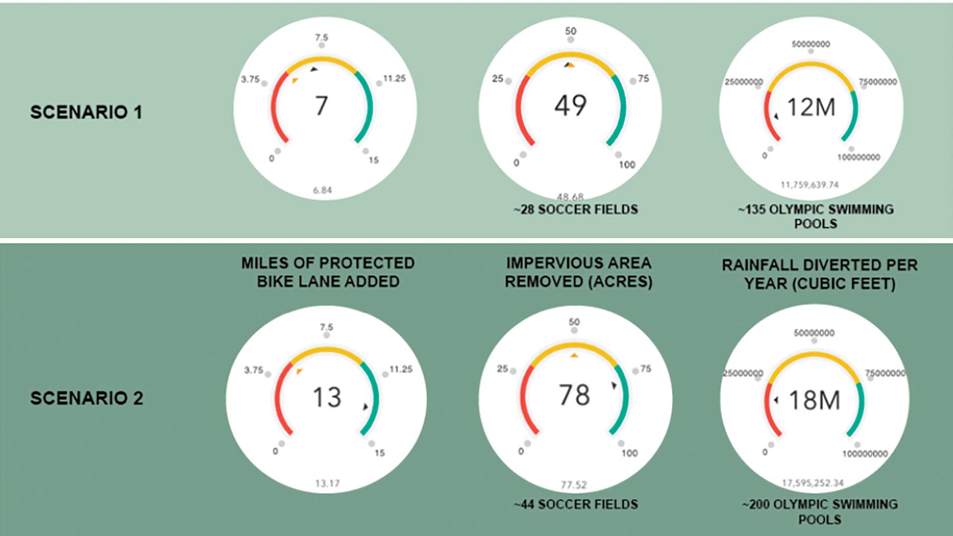
Students from the Penn State University geodesign program participated in a project to revitalize the city of Utica, New York.

Sharing your organization's data has many benefits for you and the geospatial industry.
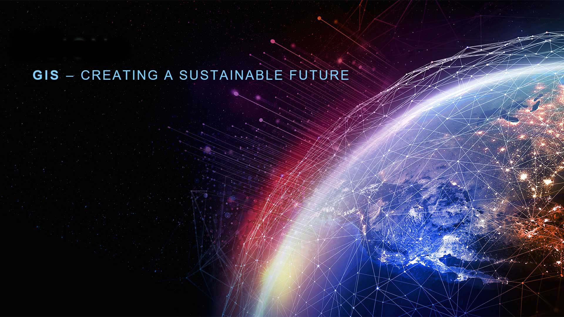
GIS is critical to adopting a sustainable approach to living and working as the challenges to the Earth increase.

GIS is essential to the creation of digital twins.

Roxana Ayala was introduced to GIS in high school and it has changed her life.
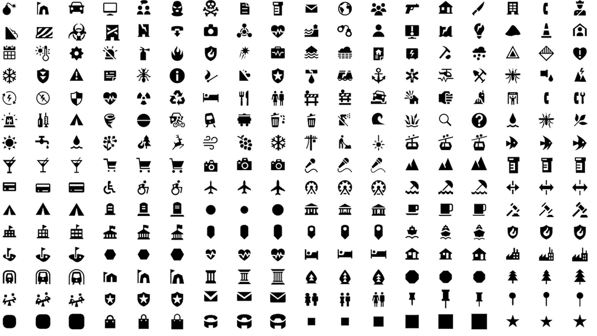
Esri’s design system (Calcite) enables you to create beautiful, easy to use, and consistent experiences across apps with minimal effort.

The Resilient and Connected Network, an ambitious GIS mapping tool developed by The Nature Conservancy helps conservationists save biodiversity.

The effects of unequal access to broadband internet have been exacerbated by effects of the COVID-19 pandemic on some populations.
Esri makes ready-to-use geospatial artificial intelligence models available in the ArcGIS Living Atlas of the World.
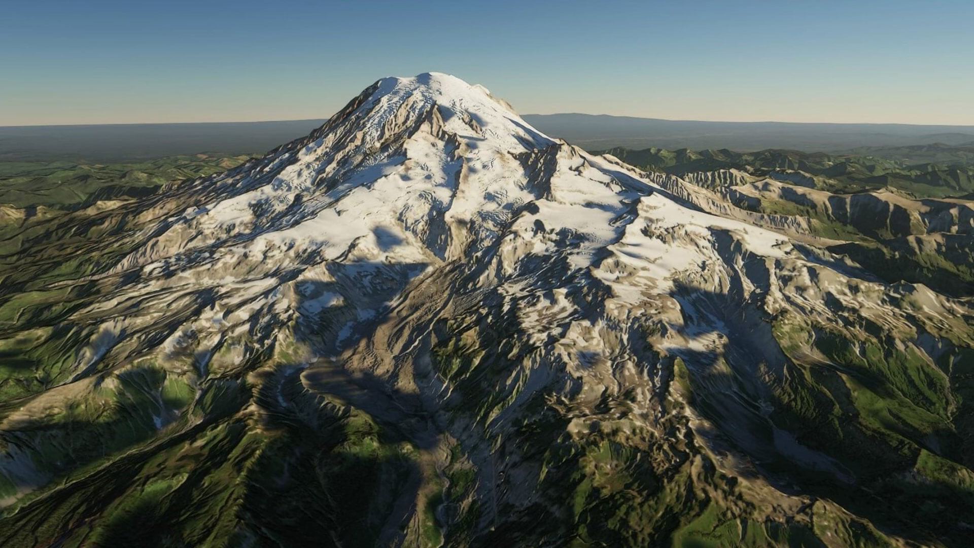
ArcGIS Maps SDK for Unity and ArcGIS Maps SDK for Unreal Engine enable direct access to ArcGIS data and operations within a game engine.

If you use the ArcGIS API for JavaScript with a 3rd party frameworks or create custom builds of the API, this process just got easier.