displaying 3264 results
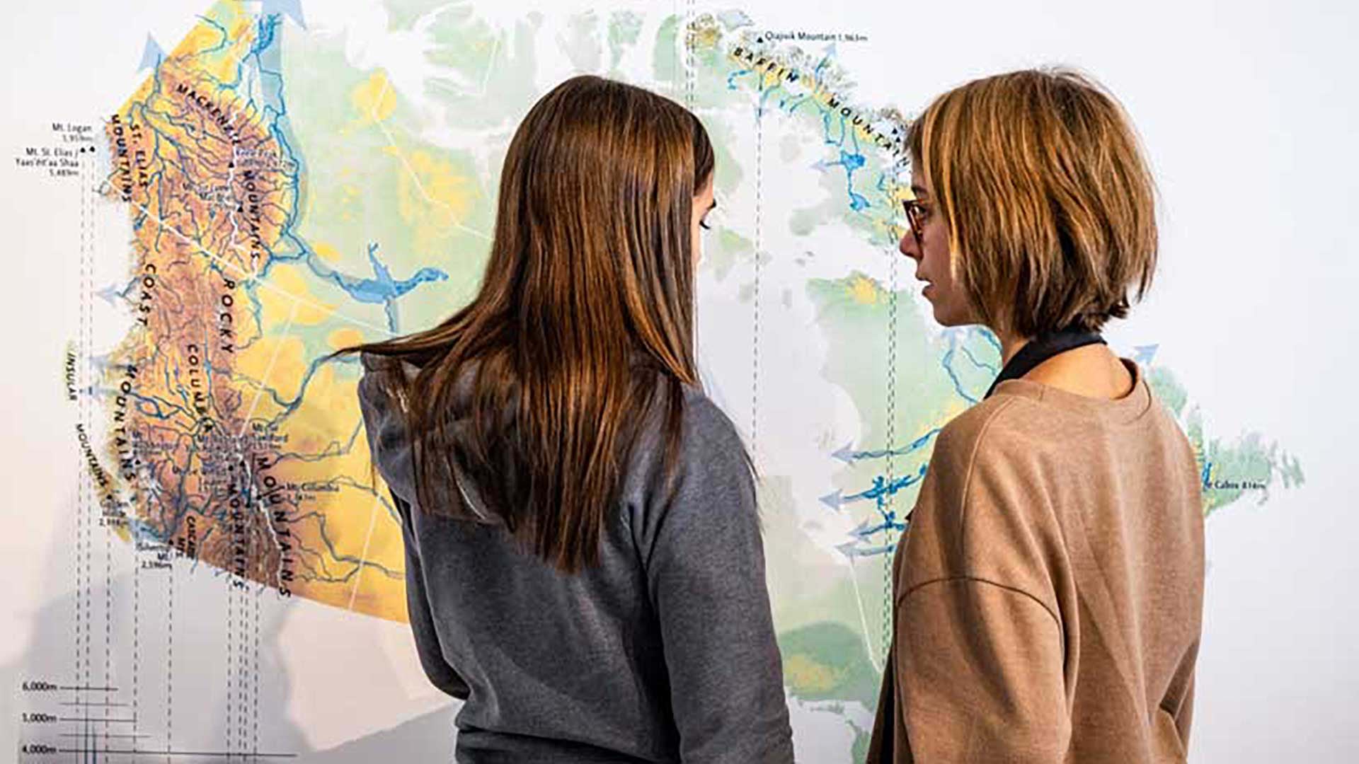
Members of the Esri Canada K–12 team received the Alex Trebek Medal for Geographic Literacy.
Organizations can use GIS to implement a multidimensional system of record that combines imagery, real-time data, and realistic 3D environments.

GIS is essential to helping utilities and governments replace lead service lines to comply with US Environmental Protection Agency regulations.
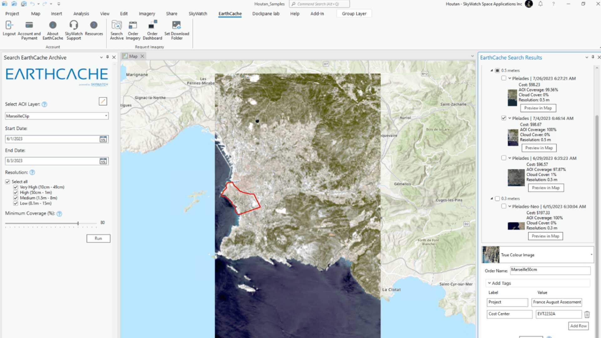
With the introduction of the EarthCache add-in for ArcGIS Pro, SkyWatch’s EarthCache functionality is natively available to ArcGIS Pro users.

The World Bank uses GIS technology to promote sustainable economic development, assist in meeting global challenges, and support economic growth.

Creating a future that healthy, prosperous, equitable, peaceful, secure, and sustainable will require GIS and commitment by the GIS community.

In his keynote address to the 2023 Esri User Conference, Dr. Richard W. Spinrad introduced event attendees to the New Blue Economy.

A university research lab in Beirut, Lebanon, created a database of rental information and shared it using an online map.

Honeybees are the unlikely protectors of elephants in Africa who come in conflict with farmers.

A digital twin and virtual reality program are guiding the construction of an underground railway in Brisbane, Australia.

Robust field descriptions save time and ensure accuracy for anyone using datasets for analysis.

GIS provides ways to mitigate climate change challenges that provide reasons for hope.