displaying 300 results
Leverage GIS to support equity objectives, empower staff to take action, track program effectiveness, and communicate results.

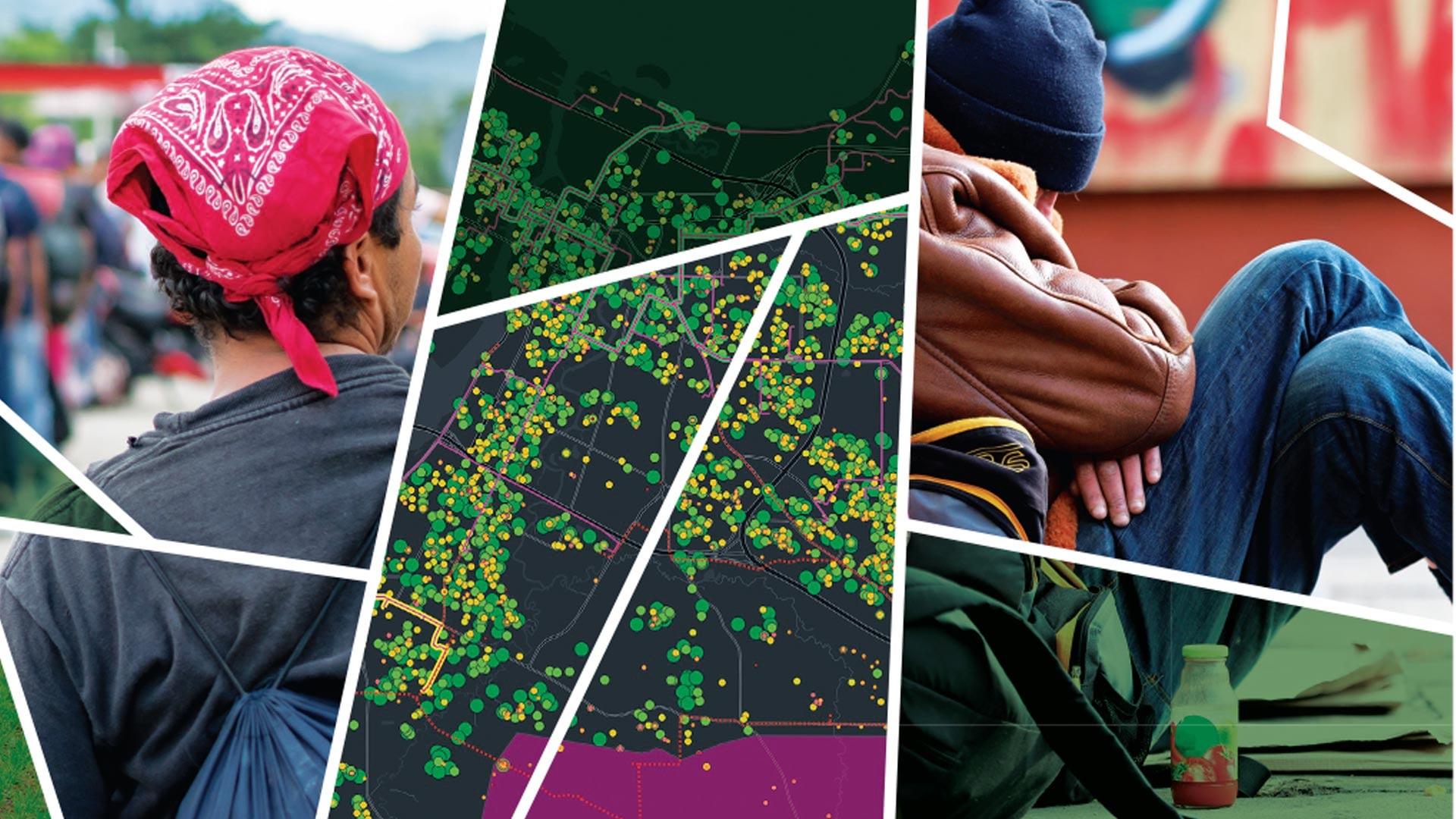
Esri’s new racial equity initiative aims to help users leverage location intelligence to address issues that revolve around race.

Discover how the City of Tucson uses data visualization to achieve equity, address disparities, and guide resource allocation.

The GIS profession is uniquely situated to help make racial equity and social justice a reality. Here are several ways to join the effort.
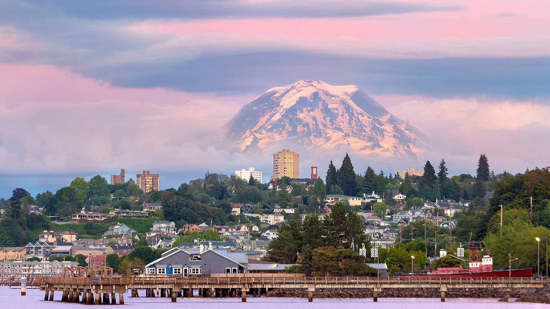
In Tacoma, Washington, the city’s chief technology officer led her team to create a GIS-powered equity map that helps guide city decisions.

The Tacoma Equity Index provides the data and details the city needs to assess and address inequalities.
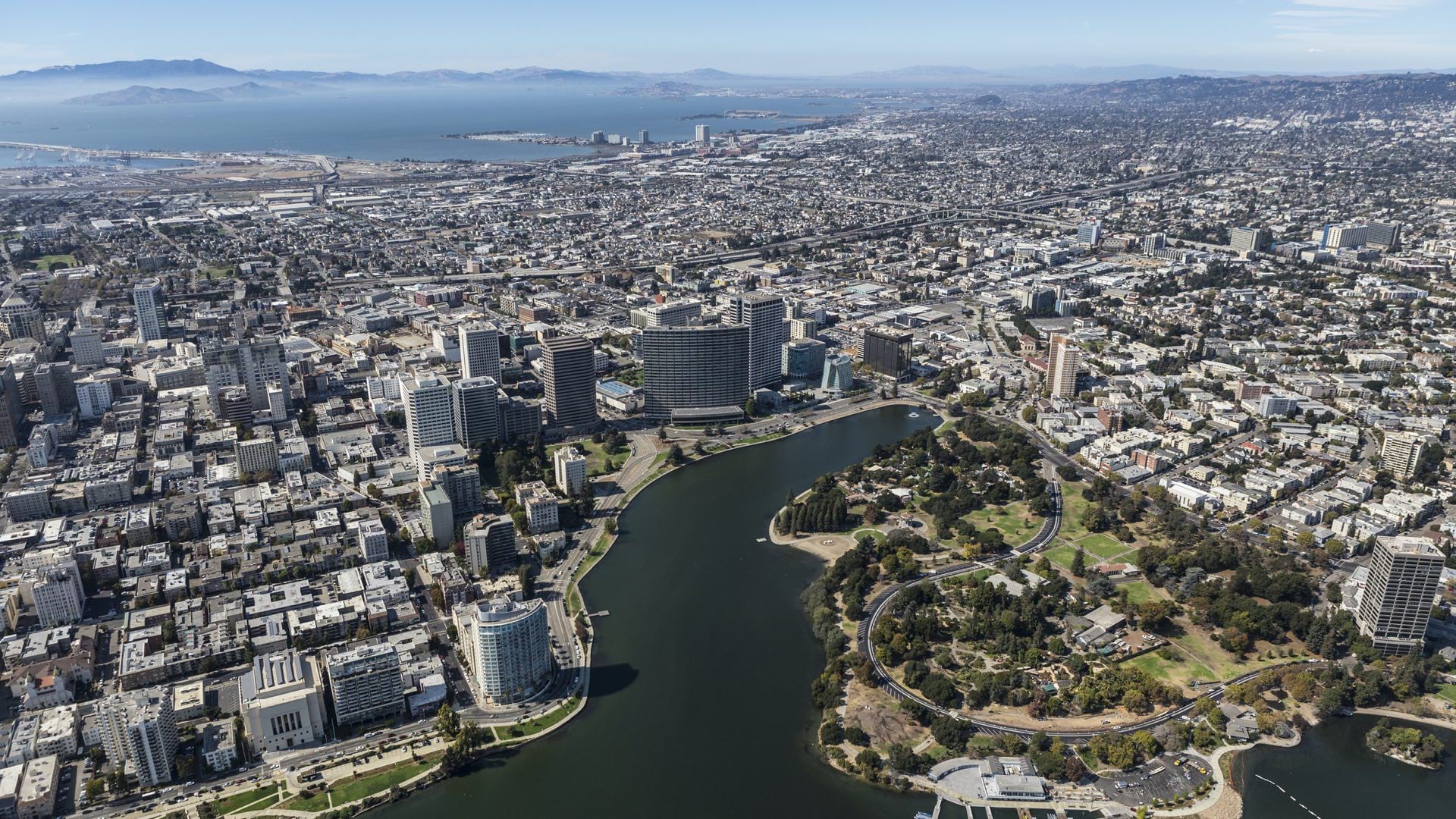
With a rich history in civic activism, Oakland now uses a geographic lens to expose and address ongoing racial inequities.
As businesses pledge to address racial injustice, location intelligence points execs toward racial equity goals in the company and the community.

Leaders in King County, Washington, have emerged as innovators in the fight for equity and social justice (ESJ) in local government.

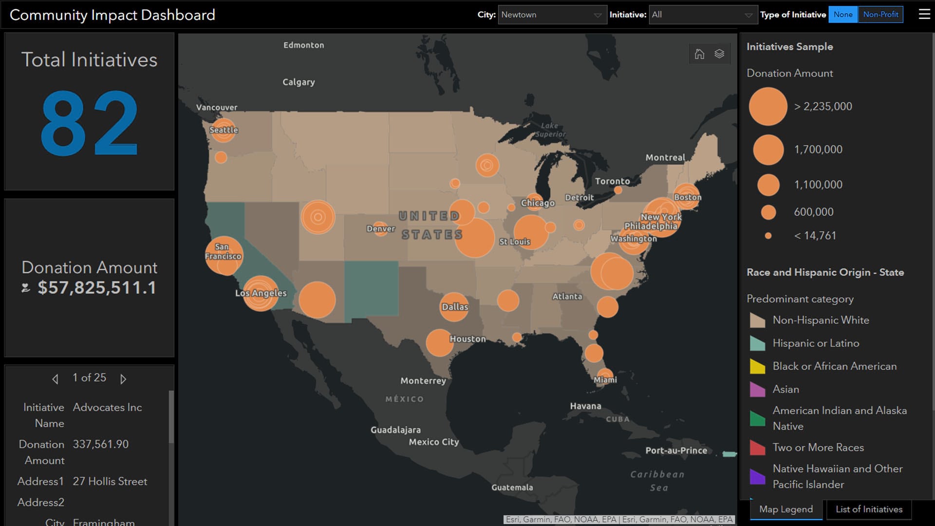
The Social Equity Analysis solution delivers capabilities that help state and local governments understand and analyze community characteristics.

More than a year after America’s top companies vowed to fight for racial justice, location intelligence is helping business leaders deliver.

The King County GIS Center helps all government departments with mapping needs and in examining equity.