April 23, 2025 | Sunny Fleming | Infrastructure
Tennessee Is in a Building Boom and the State’s Permitting Systems Must Keep Pace
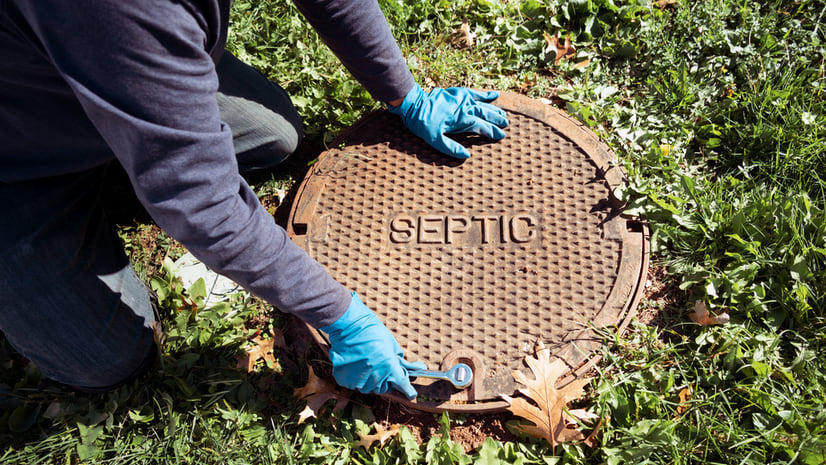
Tennessee's Department of Environment and Conservation (TDEC) has modernized septic system permitting and inspections using enterprise GIS.