April 4, 2024 | Katie Olson | Climate Action
July 25, 2024
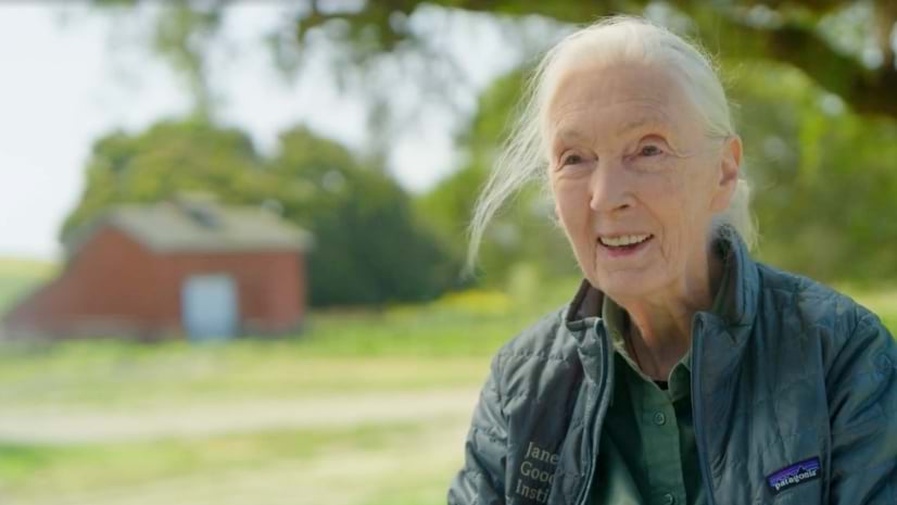
Flying over Tanzania’s Gombe National Park in the late 1980s, conservationist Jane Goodall grew concerned about the impact of deforestation. After speaking to the people who lived in nearby villages, she identified the resources they needed—including maps.
In the following decades, geographic information system (GIS) technology allowed Goodall to expand the impact of her conservation efforts, including monitoring forest health and empowering communities with tools to make changes for the better.
This video was the People’s Voice Winner at the 2024 Webby Awards.
Learn more about how GIS helps achieve sustainable conservation with the power of geography.