June 4, 2019 | Ben Conklin | Public Safety
June 5, 2019
Part 2 of 3 Detailing the US Navy’s Innovation Battle Lab
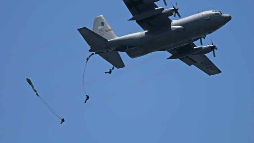
The US Navy prides itself on being agile, innovative, and adaptable. An example can be found in Navy ships from the new shallow-draft frigate class. These vessels are built with interchangeable mission modules designed to perform crucial tasks such as finding and neutralizing underwater explosive mines; countering small boat threats; or detecting and attacking enemy submarines. Because the modules are interchangeable, they can be deployed on any frigate in the fleet and updated without having to move a ship to a dry dock.
This modular approach speaks to the new thinking evident in the slogan the US Navy applies to its modern mission, “Challenge the Force… Change the Game.”
Like its frigates, Navy technology must also be interchangeable. At the annual Innovation Battle Lab, the Navy pulls together 700 people to work with a broad scope of technologies for intelligence gathering, data sharing, visualization, and analysis from many vendors.
“We want to enable connectivity and data sharing, while reducing the burden of entry,” said the lead interoperability engineer. “Then we play matchmaker, looking at the technology and making introductions between teams to bring capabilities together.”
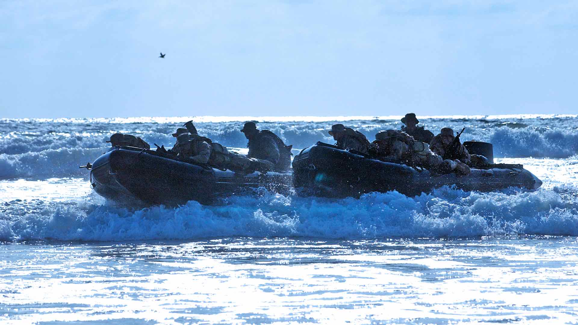
Teams try and test technology in a number of combat-simulation scenarios that require them to implement and integrate maritime, air, ground, and individual tactical platforms. Technology vendors engage with one another on these scenarios, showcasing how complementary capabilities can be quickly connected.
With just weeks to address a wide range of tactical scenarios during the event, it’s important that all participants come with open attitudes.
“In my limited experience, the interoperability space is just fraught with contention and arguments, and someone will always tell you it won’t work,” the lead interoperability engineer said. “People are the solution to this problem more so than technology. My approach has been to find good people who can make it work.”
Sharing Information and Images
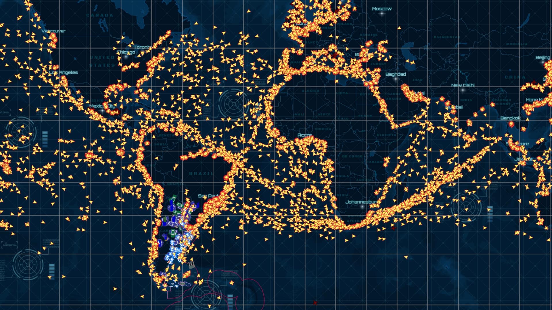
One collaboration tool the participants use is a geographic information system (GIS) which provides a map as a central location to access and visualize information. Various groups, and technologies, can contribute to this shared view. Teams can also use GIS to incorporate the defined roles of different specialists, sharing classified information only with those in a military role while allowing participation from local law enforcement. The flexible configurations of GIS also allow users to tailor applications to specific missions.
Image and video inputs fit with GIS, allowing the different distributed teams to collect and share images on a map. Tactical Electronics, one of the many technology vendors onsite for the exercise, provides cameras that can be mounted under doors and on extendable poles with flexible heads that can be aimed at a target.
“A special operations force uses these camera systems for assault, for clearance of a building, of a ship, or a structure in a city,” said Dave Shultz, business development executive at Tactical Electronics. “The cameras allow you to look around corners, in holes, vents, shafts, and high places for people who are a threat.”
When connected to a greater context, such as location, the photos and videos become even more valuable.
“You can take a video of information of interest and then attach it using a Survey123 for ArcGIS form,” Shultz said. “The app puts the image onto GIS to provide a common operating picture to help conduct or control operations. So, connecting our imagery to GIS is a really good combination of two technologies.”
This combination of tools proved helpful during the Innovation Battle Lab, enabling participants to see around barriers and inspect under vehicles for improvised explosive devices.
Accessing Phone Sensors
Standardized data collection and field communications can be conducted via smartphones. KnowledgeBridge, another event participant, specializes in tools to create smartphone applications that can access and share information coming from sensors on phones.
“Youcan drag and drop a module for tracking, for taking pictures at intervals, for sending status of the phone, and different types of data,” said Barry Hess, chief operations officer and vice president of engineering at KnowledgeBridge.
Unlike the typical phone app, these apps are installed on the phone and manipulated remotely.
“You can think of phones as Internet of Things devices, where you can interrogate the sensors to get the data you need,” Hess said.
This capability could provide the operations center with a greater understanding of conditions in the field. The ability of the operations center to see and manipulate feeds from cameras adds a degree of safety to what can be very dangerous missions.
Connecting Information Sources
Security missions now rely on a combination of information from multiple systems and online sources, including posts to social media. Semantic AI, another event participant, specializes in connecting diverse data sources using workflows and a combination of searches to compile and aggregate information quickly.
“If you have the tail number of a plane, you can put it into our system and it searches across websites to amass information including the flight pattern of the plane,” said Jim Hindle, account manager at Semantic AI. “We can also search to see who owns the plane, and if it’s connected to bad actors or activities. Now that you have results, our software can connect that to other systems.”
Semantic AI uses algorithms to speed searches across a wide array of systems. The ability to connect and visualize information from internal and external data sources, and to visualize that on a map, informs everyone involved about threat levels and the situations that have either increased or decreased the risk.
“We help filter through a mass of data and add knowledge about the data that a human can’t do alone,” Hindle said. “The system uses ontologies to compile what you may already know about the data as well as pulling in information to reveal new things to aid an investigation.”
Combining the deep search and investigative workflows provided by Semantic AI with the common operational picture provided by GIS gives a means to quickly geolocate and communicate place-based information.
“We worked with a diverse group of companies during the course of the event,” said Jim Bennett, an Esri expert on naval special operations. “It was fun to see all of these technologies, to see how they could be integrated within GIS, and to see what they added to the map.”
Streamlining integration is a large part of the mission of the Innovation Battle Lab, and every participant comes away with lessons learned.
“We try to help facilitate technical solutions to real-world problems,” the lead interoperability engineer said. “The measures for success of the event are how many integrators showed up, how many were able to share the data they wanted to share, and how easy it was for them to do that.”
Read part 1 to learn how the Navy achieved plug-and-play integration with many sensors speaking the same language and part 3 for details on the mission to reduce the warfighter’s cognitive load. Learn how GIS is being applied to national security.
Photo courtesy of US Navy.