Hundreds of thousands of organizations around the world use The Science of Where every day to help them make decisions, big and small.
But some companies and government agencies use GIS to push the envelope creatively and technologically.
In a nod to noteworthy accomplishments, Esri president Jack Dangermond used the occasion of the 2017 Esri User Conference (Esri UC) to present several awards to organizations that went above and beyond by using GIS to make significant beneficial changes.
“It’s fun to get awards. It makes you feel good, doesn’t it?” said Dangermond. “But the reason why [Esri recognizes good work] is to put a spotlight on great best practices so we can learn from it.”
The honorees were the following:

- United Parcel Service (UPS), represented by Jim Collins and Jack Levis, won the President’s Award for its work using GIS in its On-Road Integrated Optimization and Navigation (ORION) system, which optimizes delivery routes. The company, which delivers 19 million packages globally every day, has credited ORION with saving more than $350 million a year. “The Esri platform has been critical for us to enable ORION at UPS,” said Juan Perez, chief information and engineering officer at UPS, in a video played at the conference. “ORION is . . . helping us every single day to get every delivery completed on time at the lowest possible cost.”
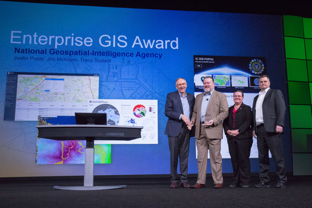
- National Geospatial-Intelligence Agency (NGA), represented by Justin Poole, Jim McIntyre, and Tracy Toutant, was presented with the Enterprise GIS Award. “[NGA has] the largest GIS database in the world,” Dangermond said. “In fact, it makes a map for the entire world. It has billions of features in it.” While that is impressive, Dangermond said that the award is also for NGA’s work in implementing a portal that provides geospatial intelligence (GEOINT) services to thousands of users. (Read more about the portal in the ArcNewsarticle, “At the NGA, GIS Underpins Virtually Everything.”)
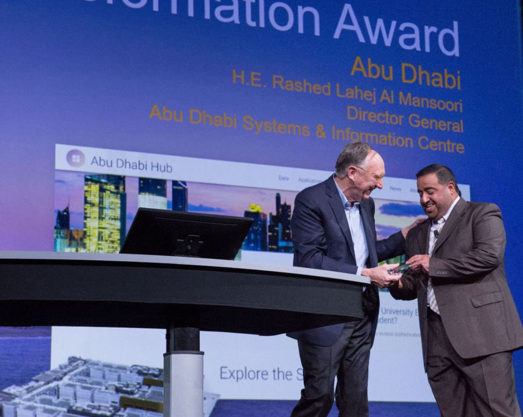
- The government of Abu Dhabi, represented by His Excellency Rashed Lahej Al Mansoori, received the Digital Transformation in GIS Award for the extensive work the city did to bring digital GIS into government operations so that information could be more easily shared internally and externally. “It has taken GIS to a new frontier,” Dangermond said. “Abu Dhabi] integrated it into every government operation. These people have pushed the limits, and it’s time they’re acknowledged in a major way.”

Two additional awards were presented at the Plenary Session.
One went to Walt Disney Animation Studios, which used geodesign in the process of creating a special animal world for the Academy Award-winning animated feature film, Zootopia.
A team led by Brandon Jarratt, general technical director at Walt Disney Animation Studios, used Esri CityEngineto help create realistic 3D buildings and cityscapes at scale for the 70 species of animals that inhabited the city. The neighborhoods, procedurally generated by CityEngine, included the Downtown, Tundratown, and Sahara Square and were made livable for what Jarratt described as the “tallest giraffe to the smallest shrew.”
“A city full of talking animals wearing clothes and using mobile phones is not exactly realistic—but [it’s] believable in that you believe the characters would actually inhabit that place,” Jarratt said at the conference, as he demonstrated an urban planning process similar to what real cities face every day. Jarratt accepted a Best Animated Feature Using GIS award on behalf of the studio.
(Read more about how Esri technology was used to create the city of Zootopia in the GPS World article, How CityEngine Powered Disney’s Zootopia.)
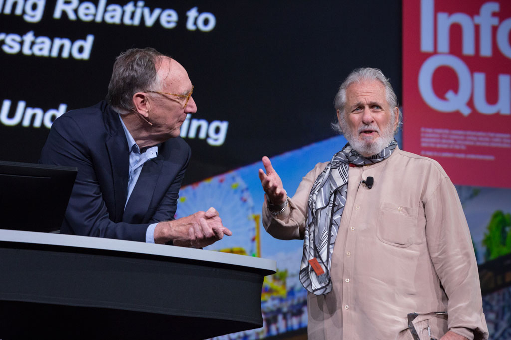
The Making a Difference Award went to Richard Saul Wurman, cofounder of the TED and TEDMED conferences and the author of a new book, Understanding Understanding. A poster about the book, placed on every chair at the Esri UC Plenary Session, contained the quote, “Most information does not inform. Most questions do not have a quest. Understanding begins with the informed quest.”
Dangermond said that Wurman is often credited with starting the information architecture revolution. “He is always about trying to understand things,” Dangermond said. “In this book, there are a lot of pages about maps [being used] as a way for understanding and GIS as a way for understanding.”

In accepting the award, a visibly moved Wurman said that in his twenties, he practiced cartography. He later published maps in his Access Guide series (including Access San Francisco and NYC Access). “I always loved maps,” he said. Referring to an excerpt from his book that conference-goers also received, Wurman said, “I retitled it and called it MAP (Mankind’s Ability to Perceive).”
Wurman also said that there’s a joyfulness to everyone who speaks onstage at the Esri UC. “It’s really altered my life, coming here every year and seeing so many people here who really care about the understanding,” he said.
To see the Plenary Session again or for the first time, watch the series of Esri UC videos. Watch the video of the award presentations.

