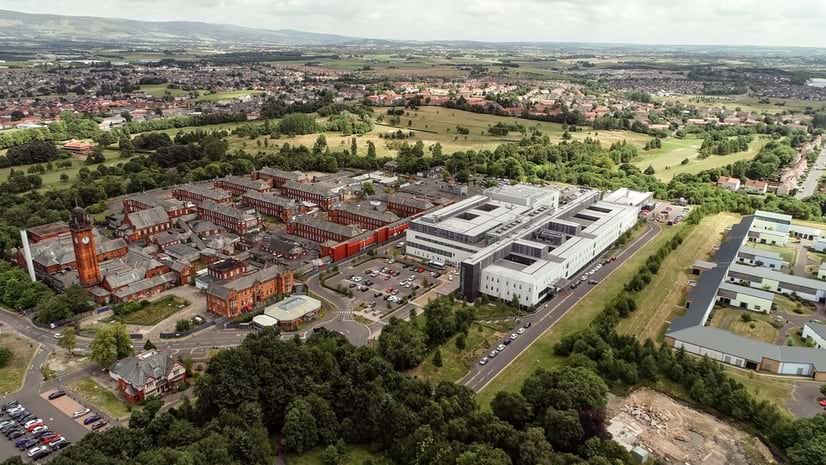
University Manages Campus Accessibility Changes with GIS Technology
UC San Diego leveraged ArcGIS Enterprise to improve campus growth.
May 2025

UC San Diego leveraged ArcGIS Enterprise to improve campus growth.
Learn how to use data to create a hosted feature layer and a hosted feature layer view in ArcGIS Online.
Cities are using GIS technology to keep a balance between forests and developed areas.
Find out how to break into the evolving field of remote sensing and succeed in a career that’s shaping the future.
Digital technology helps corporate real estate teams develop business strategies.
Now, the public and emergency responders have instant access to more than 1,150 high-definition natural hazard monitoring cameras.
A new digital tool combines maps, 3D scenes, and multimedia content to more effectively communicate details about US infrastructure.
Plan your time at the 2025 Esri User Conference in San Diego.
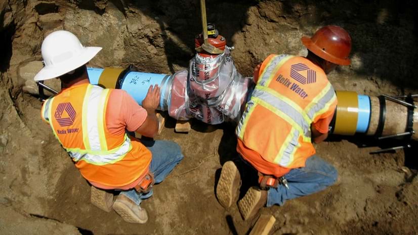
Helix Water District's GIS team streamlines workflows with ArcGIS Connectors for Power Automate.
A SaaS platform called GIS Routes optimizes last-mile logistics with geospatial analysis.
Two ArcGIS apps offer a choice between map-based and form-driven data collection.
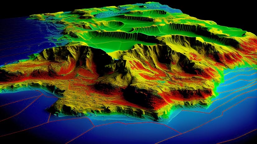
A dynamic model shows campus facilities, utilities, and natural surroundings.
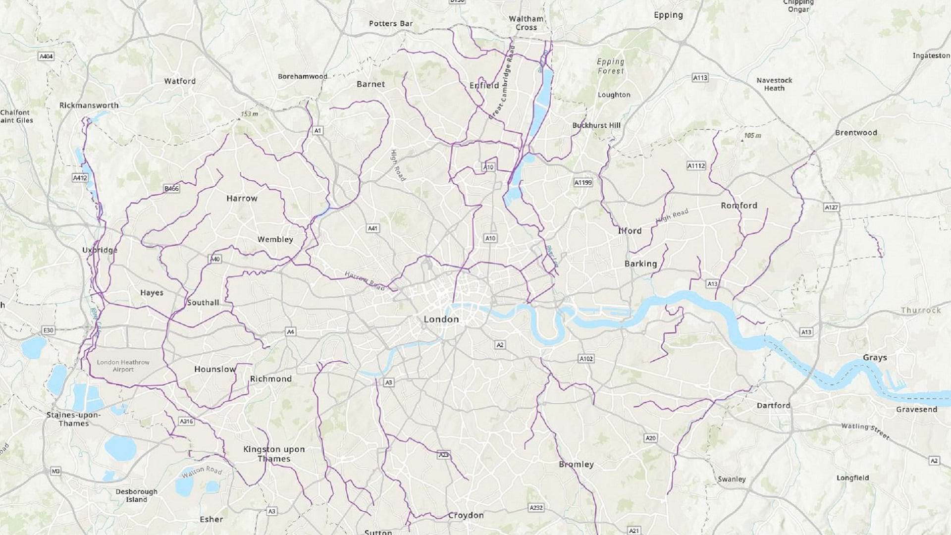
A transportation network is like the circulatory system of an economy. Digital twin technology can help maintain its health.
A health agency is boosting healthcare sustainability with GIS technology.
Get an introduction to ArcGIS Pro techniques and repeatable workflows.
In one hour, learn how to create geoprocessing models that will automate routine or complex workflows, without writing code.
Build foundational skills to perform mapping and analysis tasks using ArcGIS Online in this no-cost web course.