With projects at work to initiate and finish, finding the time to read is difficult for today’s busy professional who makes maps and does analysis using GIS technology. But sparing an hour a day to read one of the following books could be one of the best investments in your career:
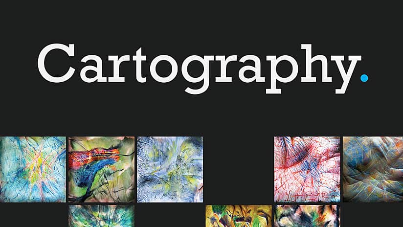
Itching to make maps as beautiful as the ones made by top cartographers? Then pick up a copy of award-winning cartographer Kenneth Field’s illustrated reference guide, Cartography.
The book grounds mapmakers in the art and science of cartography and covers more than 250 topics about cartographic concepts and practices. Readers will learn about traditional topographic and thematic cartography, digital mapping, democratized mapping, fantasy mapping, and new mapping mediums.
Field took the knowledge he has gained over a 25-year career as a cartographer and put it in one book. He says his goal was to impart the principles, processes, techniques, and best practices of cartography to help people author maps that communicate information clearly, scientifically, and artfully. “Put simply, this book lays out what I consider to be manners for the modern mapmaker,” he writes in the book.
(Esri, hardcover print edition, ISBN: 9781589485020, $129.99; softcover print edition, ISBN: 9781589484399, $94.99)

GIS Tutorial for Crime Analysis, Second Edition
Crime analysts working in law enforcement will want to pick up a copy of this book, which teaches how to build and manage a crime mapping and analysis system. The book covers how to use, query, and create crime maps; geocode crime incident data; automate crime mapping; and use spatial analysis tools to analyze crime hot spots.
(Esri, print edition, ISBN: 9781589485167, $84.99; e-book, ISBN: 9781589485174, $84.99)
GIS for Surface Water: Using the National Hydrography Dataset
A complete water information system has been built for the United States, helping scientists, cartographers, and others explore, analyze, and map water data using GIS. Jeff Simley, an award-winning cartographer and former lead of the Hydrography Program at the United States Geological Survey (USGS), talks about this system in depth in his new book GIS for Surface Water: Using the National Hydrography Dataset.
The book shows readers how to use Esri ArcGIS software, together with the USGS’s National Hydrography Dataset (NHD) and the Watershed Boundary Dataset and the USGS’s and Environmental Protection Agency’s (EPA) National Hydrography Dataset Plus (NHDPlus) dataset, to better study and manage the vast surface water system in the United States.
“I wanted to teach water scientists about cartography and to teach cartographers about water science,” says Simley in the book.
(Esri, print edition, ISBN: 9781589484795, $79.99; e-book, ISBN: 9781589484917, $79.99)
Understanding GIS: An ArcGIS Pro Project Workbook, Fourth Edition
This workbook is for people who want to learn how to complete a single GIS project from the ground up, incorporating real data and using the latest spatial analysis methods and technology. In this case, readers will work to find suitable sites for a park in Los Angeles. They will get to use ArcGIS Pro, an ArcGIS Desktop application, along with ArcGIS Online, Esri Story Maps apps, United States Census data, and data from the city of Los Angeles.
(Esri, print edition, ISBN: 9781589485266, $79.99; e-book, ISBN: 9781589485273, $79.99)
Lining Up Data in ArcGIS: A Guide to Map Projections, Third Edition
This handy reference guide helps ArcGIS Desktop software users troubleshoot common data misalignment problems that they may encounter when creating maps and performing data analysis. Readers will get top flight help dealing with these issues, too, as the author is Margaret M. Maher, who has worked for Esri support services for more than 18 years. In that time, she has resolved more than 16,000 cases. The book demystifies map projections so that ArcGIS software users can create their maps; accurately perform precise analyses; and manage data they receive, whatever the source.
Maher tackles common issues that cause headaches for mapmakers and helps them learn, for example, how to identify correct geographic coordinate systems; add x,y coordinate data to maps; and figure out which map projection to use for a project.
(Esri, print edition, ISBN: 9781589485204, $39.99; e-book, ISBN: 9781589485235, $39.99)
Getting to Know Web GIS, Third Edition
The growing popularity of Web GIS makes this book a definite must have. Pinde Fu, leader of the ArcGIS platform engineering team at Esri Professional Services in Redlands, teaches readers how to build web maps and apps, author Esri Story Maps apps and operations dashboards, conduct spatial analysis, work with 3D web scenes, and much more. His colleague Jie Chang, a software product engineer on the 3D analysis team at Esri, contributed a chapter on image services and raster analysis.
Fu uses real-life scenarios in his tutorials and assignments. For example, one assignment involves creating a points-of-interest tour, while another asks the readers to find the best site to open a new eatery. Fu said the book is meant to be a resource for people to either start or continue their path of learning about, understanding, and applying Web GIS. “I hope this book sparks your imagination and encourages creative uses of Web GIS,” he says.
(Esri, print edition, ISBN: 9781589485211, $94.99; e-book, ISBN: 9781589485228, $94.99)
All these books can be purchased from online retailers worldwide or by calling 1-800-447-9778. Visit esri.com/esripress to learn about the full range of book ordering options.

