Mapping the Deep
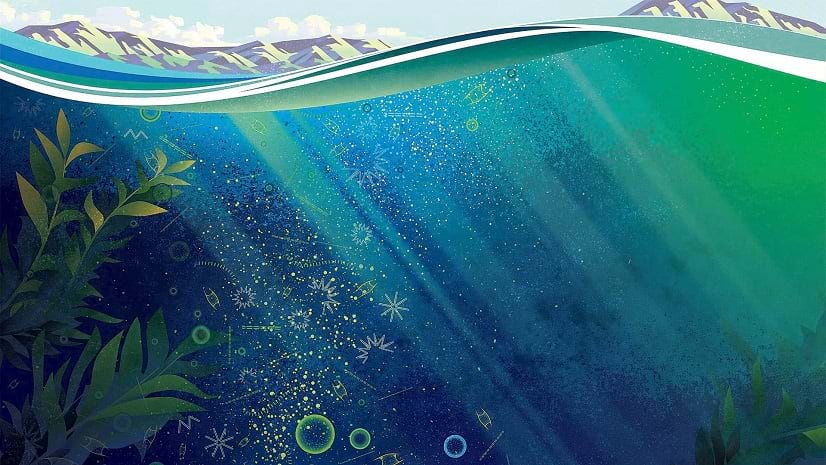
Esri's chief scientist explains why high-res ocean mapping is important.
Esri's chief scientist explains why high-res ocean mapping is important.
Jeff Opperman, Global Freshwater Lead Scientist with World Wildlife Fund, explains how the WWF protects the economically vital Mekong Delta.
With 3D visualization, the EPA can better understand and respond to groundwater contamination in LA County and beyond.
Check out this restoration project developed for native wetland vegetation in the Swan River National Wildlife Refuge in Montana.
The Tar Creek Superfund site created one of the most toxic floodplains in the US. LEAD Agency is using GIS to advocate for environmental justice.
Learn how Tennessee state agencies leveraged federal funds to develop a statewide recreation database.
Listen as Paul Cooper of the Arbor Day Foundation highlights the environmental and economic benefits of green infrastructure.
Natalie Stirrat, Technical Director at Arcadis, details how a geographic approach improves the design of smart infrastructure.
The city of Austin leveraged ArcGIS Dashboards to inventory thousands of trees in an effort to preserve and expand the city's urban forest.
Learn how federal infrastructure programs can provide a gateway to habitat restoration and a more sustainable future.
Esri environment and conservation specialist Sunny Fleming details how geospatial technology is key in preserving local wildlife.
The Guyana Forestry Commission's mission is to prevent deforestation, which protects the rainforests. GIS technology helps achieve this goal.