NOAA and Esri Make Ocean Data More Actionable
The National Oceanic and Atmospheric Administration (NOAA) and Esri will create the prototype for a fully interoperable open data platform for the delivery of ready-to-use ocean and coastal data. With Esri geospatial technology, the platform will make NOAA’s massive data stores accessible and actionable for use by decision-makers to help address critical issues.
“This collaboration could not come at a more important time in helping our coastal communities remain vibrant now and in the future,” said NOAA administrator Rick Spinrad. “Combining NOAA’s ocean and coastal expertise with Esri’s long history of user-centered tools will unlock the true value of these data in the hands of the communities that need them most.”
This agreement will break down the barriers that hinder the use of NOAA data. Currently, ocean and coastal data are kept in disconnected sources that require translation before it can be used by stakeholders. NOAA and Esri will build a prototype ocean and coastal data hub that will provide a proof of concept for organizing NOAA data and translating it into actionable knowledge.
The hub will facilitate cross-sector partnerships and collaborations among ocean community organizations, nongovernmental organizations (NGOs), academia, and the private sector. The project’s goal is the development of an ocean and coastal data information system that provides data access and guidance in the interpretation and use of that data.

Overture Maps Data in ArcGIS
In 2023, Esri joined the Overture Maps Foundation to support its work to create more complete, accurate, and extensible map data provided under an open data license. Since joining Overture, Esri has been contributing data to different data themes, most notably buildings and divisions, and supporting the design of new themes, including addresses. In addition, Overture Maps data will become available in ArcGIS to enhance existing content offerings and add new offerings.
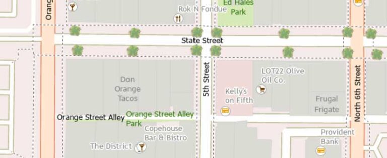
A new Esri Open Basemap built with Overture Maps data will include a curated and integrated collection of open data from OpenStreetMap and many other sources. This basemap will be designed and delivered as a vector tile basemap available in multiple map styles that can be easily customized into many other styles. The Open Basemap will be released in beta later this year and updated monthly with each Overture data release going forward.
Esri has been working with other Overture Maps members to include more buildings with 3D attributes into the Overture data, including building heights from open lidar and data from Esri Community Maps contributors. The new 3D scene layers for buildings, trees, and place labels are built with Overture Maps data and used to update the existing 3D Basemaps in the basemap gallery. These scene layers will include open data from OpenStreetMap, Esri Community Maps, and other open data from Microsoft and Google.


