When Esri was founded in 1969, the world was a far less crowded and a decidedly less urbanized place. Of an estimated 3.6 billion people, only about 36 percent of them lived in cities. Currently, it’s estimated that 54 percent of the world’s 7.9 billion inhabitants are crowded into cities.
Clearly, how we design cities matters more to more people. That is one of the reasons that the recent partnership between Esri and Autodesk, facilitating the integration of spatial intelligence with 3D design model information, is an important step in the process of designing more liveable and sustainable cities.
The ArcGIS platform is continually incorporating previously separate technologies—imagery, 3D modeling, and real-time analysis of big data—and developing tools that substantially help us gain an understanding of the interdependency of the Earth and its residents.
These capabilities to ingest, process, analyze, and visualize data can inform decisions and enlighten the design and management of cities in ways that were not previously possible.
An article in this issue illustrates just this point. Mobileye has developed advanced driver assistance systems (ADAS) technology that uses GIS and analyzes sensor data in real time that can help prevent the motor vehicle accidents that injure millions and kill thousands each year in the United States.
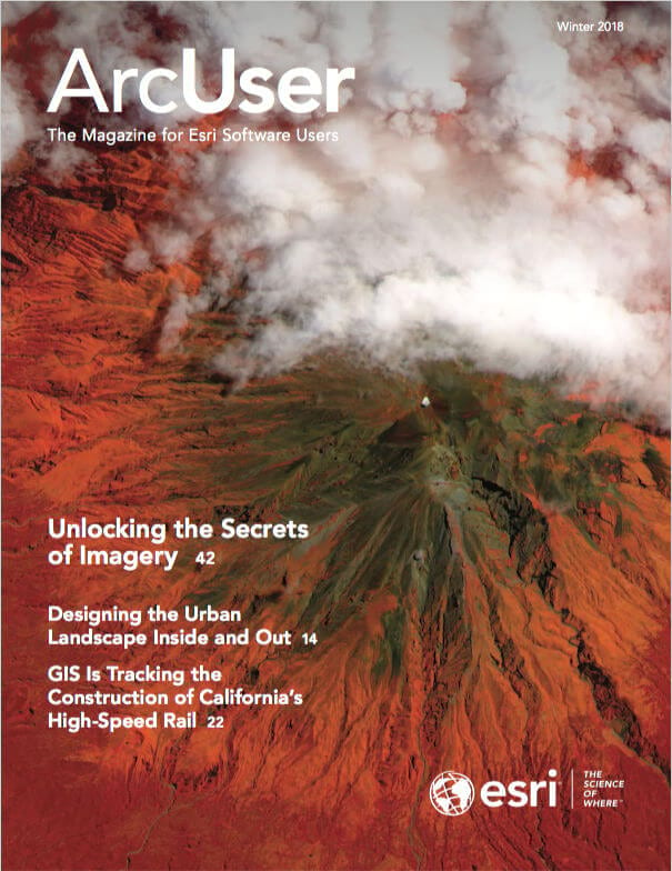
The greatly enhanced imagery capabilities in the ArcGIS platform let us take advantage of the tidal wave of imagery that continually decreases in cost and increases in availability. By unlocking the secrets of imagery, we can better respond to disasters, inventory resources, and monitor change over time.
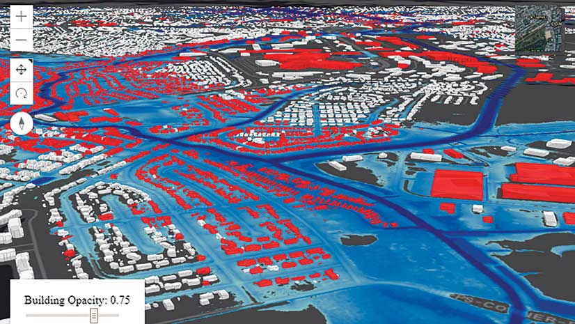
3D visualization, available across the ArcGIS platform, provides the ability to “try before you buy” by letting designers and planners model buildings to measure their effects before ever placing a shovel in the ground.
GIS lets us see more deeply and with a greater understanding of the consequences of our actions so we can build cities where we not only survive but thrive.


