Smart cities recognize how important it is to provide local communities with the information they need to stay informed and take part in decision-making.

Since 2016, ArcGIS Hub has enabled organizations across government, business, and academia to create customized websites for sharing content related to local projects and initiatives. Hub sites have keyword searches and galleries that make it easy for users to discover data, maps, documents, and surveys. Additionally, each site includes a content library for building the website’s search catalog, a group for collaborating with peers, and a dashboard for tracking community interest.
A key aspect of ArcGIS Hub is helping users share content that’s clear, operational, and accessible to their audiences. Over the years, the ArcGIS Hub team has worked with users through the ArcGIS Hub User Lab to learn how they produce and employ digital content to communicate and engage with their communities. This research shows that organizations want to remove barriers to engagement by creating thoughtful, easy-to-use tools for finding and working with their data.

That’s why ArcGIS Hub recently launched a new approach to how it handles the content that users share through the software as a service. Now, it’s easier for people to explore data within the context of hub sites.
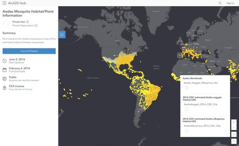
When visitors go to a hub site, they can more easily preview data and other content prior to downloading or using a resource. Spatial data, including raster images and shapefiles, are featured on full-screen maps to encourage visitors to start exploring it straight away. The map’s view can be switched to a full-screen view of its tabular data, and users can filter data in both views. Nonspatial tabular data and documents also now automatically open in full screen.

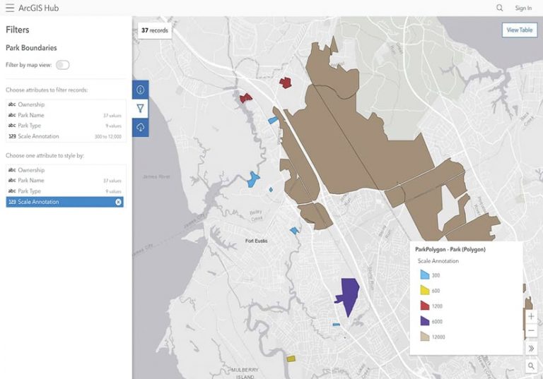
To symbolize attribute data in maps, users can employ new filter and styling options. Once the filters and styles are in place, the URL for the content preview page updates to reflect that, enabling users to share the patterns they’ve identified.
A collapsible side panel gives users the ability to access additional information about a piece of content via its full details page. The side panel also contains options to filter and download content. When downloading something, users can now select the format of their choice and track the status of their download. In addition, developers can access a dataset’s API using the API explorer, available either on the side panel or in the item’s full details page.
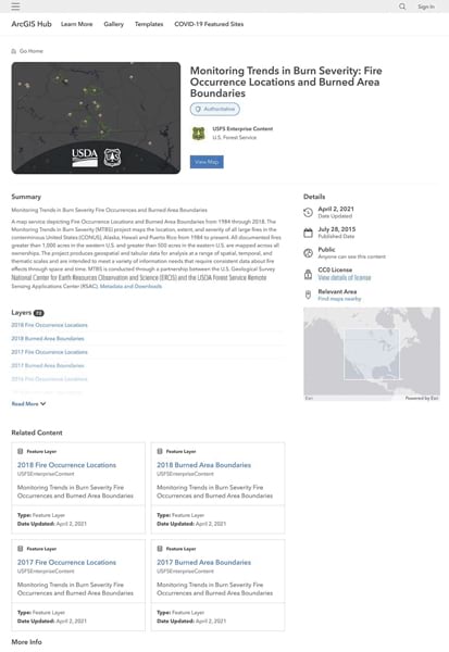
Any content that doesn’t render in full screen opens as a full details page that features actions that users can take with that data, such as creating a web map or story. The full details page also contains metadata for the item, points users to related content, and has a link to the content’s details page in ArcGIS Online.
To view these enhancements and learn more about what’s new with ArcGIS Hub, check out the ArcGIS Hub content demo site and read the blog post “How ArcGIS Hub makes it simple to share engaging content.”

