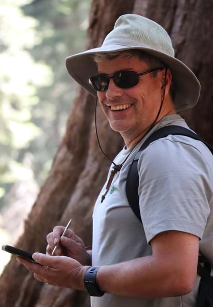
From building the city’s first sewer GIS database to inspiring interns, John Studtmann’s two-decade GIS career in public service has made a lasting impact in Minneapolis.
John Studtmann vividly remembers the first time he used ArcGIS technology.
“It felt like opening a whole new world with secret codes,” explained Studtmann. “I could see that it was extremely powerful, and I was hooked.”
At the time, he was a GIS technician learning ARC/INFO while working for an environmental consulting company that was contracted to digitize paper maps. He then moved to an orthophotogrammetric company that provided mapping and survey solutions along with contracting National Hydrography Dataset (NHD) work.
Now, Studtmann is the force behind groundbreaking geographic initiatives for the City of Minneapolis, Minnesota. These include the first comprehensive database to track surface and sewer water infrastructure and a dedicated GIS internship program for the city’s Surface Water & Sewers Division of Public Works. Studtmann has also contributed to Minnesota’s first and second stormwater data model standards.

A Conservationist Who Loves Maps and Helping Others
Geography has captivated Studtmann since he was a child growing up in Minnesota.
“My dad had explained to me early on how maps represented real-world features, and by the time I was eight, he had me navigating our road trips,” he recalled.
When Studtmann wasn’t detouring his parents on these family road trips to the occasional amusement park or landmark he wanted to see, he was admiring the unique landscapes of the western states that his family visited while scrutinizing the cartography of the Rand McNally Road Atlas.
“At the time, I had no idea I was learning about geography,” he said.
Later, Studtmann considered a career in the US Department of State and obtained an undergraduate degree in political science at the University of Minnesota, with minors in history, international relations, and geography.
After working as a legislative assistant in the Minnesota State Senate for a session, however, he felt the pull of geography again. He eventually obtained a GIS certificate from the University of California, Riverside.
“I initially studied geography as a backup. Who does that?” Studtmann joked. “But I was fascinated by the endless opportunities to use GIS technology to analyze almost anything in our world.”
Studtmann particularly enjoys finding the right GIS tool for the right project and, as he described it, “finding solutions where nobody can figure it out.”
Using GIS to Serve the Public During Emergencies
When a gas leak was discovered at the University of Minnesota in 2022, Studtmann worked alongside first responders out of the command center run by the City of Minneapolis to identify the leak’s location.
“I was fortunate enough to work with a great team that asked good questions and listened to my input about what the data was telling me,” he said.
Their collaborative efforts included researching the locations of nearby fuel sources and cross-referencing that information with infrastructure flow. This resulted in the emergency team redirecting its efforts and finding the possible cause more quickly.
“The most rewarding aspects of my career have been when I’ve been able to flex my creativity to solve a problem that serves the greater good,” Studtmann said.
A Dedicated Career to Public Service
For more than 18 years, Studtmann has served as an engineering and application analyst for the Minneapolis Public Works Department, working as a database manager, IT liaison, and GIS explorer. In this position, Studtmann has overseen innovative projects that have benefited his department and city residents, including training fellow staff members in GIS, integrating city systems with closed-circuit television inspection software, and linking GIS to the city’s asset management system.
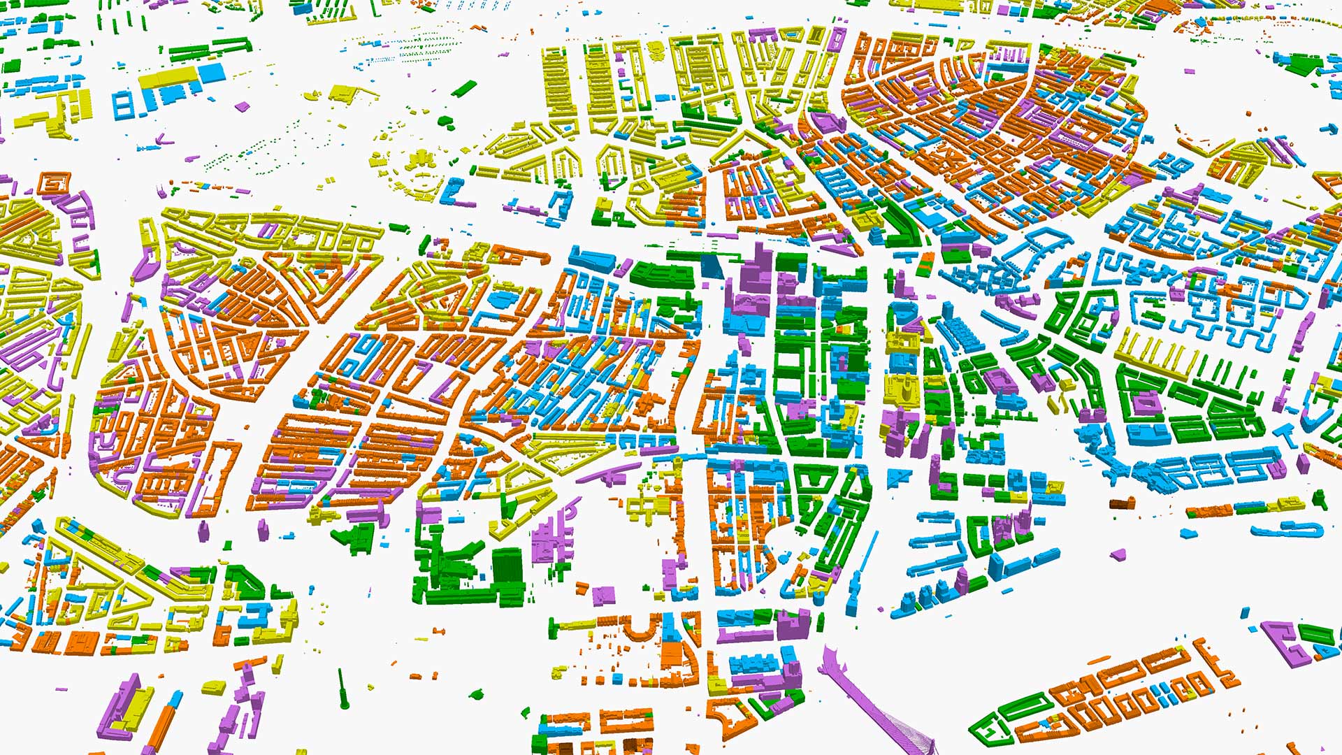
Studtmann is particularly proud of building the city’s first GIS database for public works, surface water, and sewers. This database, which took Studtmann five years to build, tracks sanitary and stormwater infrastructure. It provides vital information for engineers to manage systems and facilities that are designed to perform various tasks, such as discovering inflow and infiltration and managing rainwater runoff. All of these functions are essential for maintaining healthy and safe living conditions and have been a driving force in Studtmann’s daily work.
“It’s not often you get to create your own database from scratch for critical use,” said Studtmann. “It was exciting and impactful to lay the groundwork for data that would be used well into the future.”
Studtmann also collaborated with staff at the Minnesota Department of Natural Resources to integrate their data with the NHD data model—making the data usable not only by Minneapolis but also by federal employees, academics, and residents wanting to study the city’s stormwater flow.
“That’s something I’m always looking for: How can I make the data more valuable to everybody?” he said.
Empowering the Next Generation of GIS Experts
Today, Studtmann is instilling that drive in the next generation of GIS professionals. To provide students with hands-on experience, he started a GIS internship program for the Surface Water & Sewers Division in 2017.
“I look at the internship as an extension of their classroom,” he said. “I’m there to provide them a view into real-world GIS work and help them learn.”
He believes internships should help students understand the nuances of their chosen career and determine if they are pursuing the right path.
Studtmann involved his interns in developing the 811 Gopher State One Call ticket app, for example. This online platform allows the public to alert underground system operators, such as utility companies, about excavation projects. As a result, utility lines are accurately marked to avoid interference during excavation.
Through the interns’ development, the ticket system now follows an automatic process to generate maps and polygons of designated areas. These are shared with requesters via email and stored in Microsoft SharePoint. Minneapolis’s mayor recognized the system at a 2023 awards presentation.
Studtmann has mentored five interns since the program launched. With his assistance, four have found GIS roles after graduating.
“My most important achievement in GIS is the legacy of interns I have turned out into our GIS professional community. That group of highly talented individuals will make an important difference in our world,” Studtmann said. “It’s been rewarding to challenge and develop interns and the future of GIS.”
If there’s anything that Studtmann hopes others in the GIS community can learn from his story, it is the importance of guiding interns and not simply giving them the work that no one else wants to do. Sure, they need to learn monotonous and time-consuming tasks, too, such as digitizing. “But they also need the chance to develop skills that will make them desirable to future employers,” he said. “That means project work and programming.”
Keeping an Eye on the Future
When he retires, Studtmann hopes to create a group of volunteer retired GIS professionals who, as they travel across the United States, put their skills together to build a comprehensive collection of mapping data that they are passionate about.
“Every GIS professional has visited somewhere where they were sad to see a lack of GIS available to them for use, only to realize they cannot afford to collect the data because they don’t have the time or resources,” Studtmann explained. “How great would it be to pull up hiking trail data where scenic views, waterfalls, and other significant natural sites are located with a terrain profile? I think trail maps with collection points linked to web pages of photos or a trail website might be useful not only to the explorer but also to the homebound and the historian studying how a place has changed from year to year.”

