At the 2020 Esri Partner Conference, held in March, Esri recognized 19 partners in 10 award categories for their important and innovative contributions to GIS. Read on to find out about their noteworthy solutions and services.
Bringing Esri Analytics and Insights to Customers
Infrastructure Data Solutions
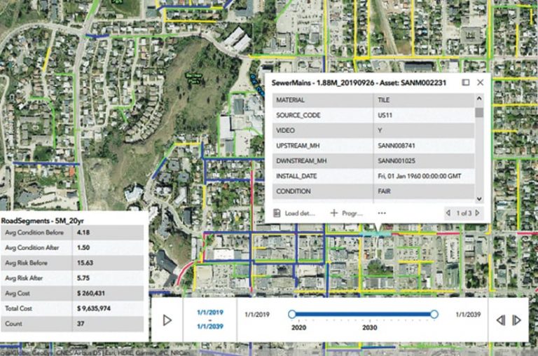
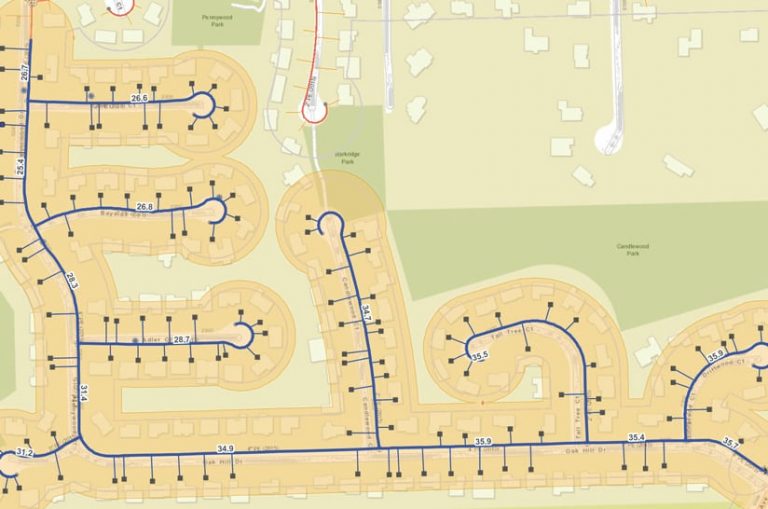
Infrastructure Data Solutions (IDS) provides evidence-based decision-making solutions and services for transportation agencies, municipalities, and water utilities that address complex challenges and ensure reliability and sustainability. When the City of Vernon, Canada, needed a 20-year plan for risk-based asset management, IDS implemented the cloud- and ArcGIS software-based IDS Asset Optimizer solution to help with in-depth infrastructure analysis.
Seequent
Seequent delivers powerful geoscience analysis, modeling, and collaborative technologies that make it easier to solve complex problems and manage risk. The company’s Target for ArcGIS Pro solution, built on the latest release of ArcGIS Pro, allows users to easily import, view, and analyze geologic data. Users can see drill hole and subsurface data attributes in both 2D maps and 3D scenes. Using the solution with ArcGIS Online facilitates collaboration.

Delivering Creative Content for ArcGIS
DTN
DTN provides customers in the agriculture, energy, utility, weather, and finance fields with actionable data that can reduce risk, enable smarter business decisions, and drive better results. DTN helps utility companies deliver real-time weather information—to fieldworkers, for example—shared via a variety of data services. The Esri partner also produces apps, available on the ArcGIS Marketplace, that enhance data delivery.
SafeGraph
SafeGraph is the source of truth for physical places data. Its point-of-interest (POI) data, geofences, and store visitor insights give companies better geolocation, retail analytics, and marketing capabilities. SafeGraph enriches its data with useful context, such as brand affiliation, North American Industry Classification System (NAICS) business categorization, and foot traffic counts. Its POI data is available on the ArcGIS Marketplace.
Driving Systems of Engagement
Clevest
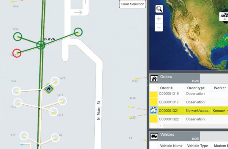
Clevest works with more than 240 utilities worldwide to increase reliability, reduce risks, improve response times and safety, and save money. Clevest Mobile Workforce Management helps utilities of all sizes automate and optimize fieldwork. Working with Esri partners Geotab and SAP, Clevest integrated advanced location technology into the solution and developed an add-on component that streamlines work order management.
ETI Software Solutions
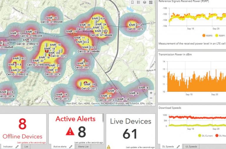
ETI Software Solutions is driving systems of engagement in telecommunications by equipping providers with solutions and services to manage complex systems more efficiently, reduce operating costs, and ensure optimal quality of service. ETI’s Beamfly, a real-time geospatial dashboard that employs ArcGIS Dashboards and ArcGIS GeoEvent Server, helps providers deliver quality service throughout the customer life cycle.
Leveraging Esri Technology in Unique and Innovative Ways
Earthcube
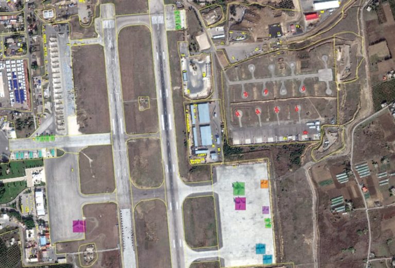
Combining state-of-the-art techniques in both computer vision and machine learning, Earthcube’s solutions enable users to monitor wide areas and places that are difficult to capture by automatically detecting, segmenting, and classifying objects of interest. Earthcube integrates artificial intelligence (AI) with multiple data sources, such as very high-resolution (VHR) satellite imagery, proprietary algorithms, and geospatial analysis, via the ArcGIS platform.
UDC
UDC delivers system implementation services and operational solutions to gas and electric utilities in the United States and Canada. Its High-Fidelity Export Import Data Exchange (HEIDE) tool helps users with ArcGIS Utility Network migration. UDC’s Gas Outage Management System (OMS) solution, which is based on ArcGIS Enterprise and started as a project with the Northeast Gas Association (NGA), automates gas outage and restoration processes.
Ensuring Customer Success Through a Comprehensive Suite of Services
GeoMarvel
GeoMarvel empowers users with cloud computing, systems implementation, data analysis, mobile and interactive web apps, and technical consulting services. In partnership with Earth Day Network, GeoMarvel released the Earth Challenge 2020 mobile app—built with ArcGIS AppStudio, ArcGIS Hub, and ArcGIS Online—which enables people around the world to collect data to help mitigate threats to environmental and human health.
ArcGIS Marketplace
Dstillery
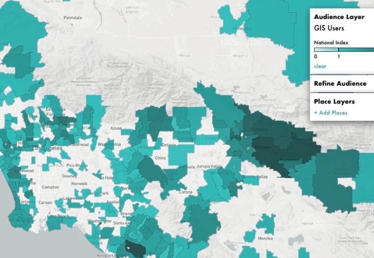
Dstillery helps organizations maximize customer data using custom AI models. The Esri partner combines web browser and location data to deliver fresh and accurate results that identify certain behaviors in a given geography. To gain more in-depth intelligence, users can combine these insights with other audience data and apply it to market segmentation projects. Dstillery’s census block group and tract datasets are on the ArcGIS Marketplace.
GeoGraph
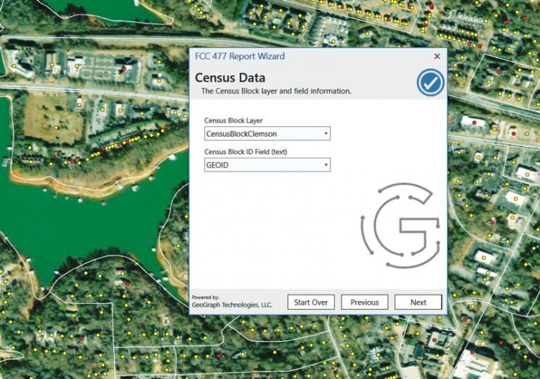
GeoGraph helps clients predict, understand, and resolve challenges in managing fiber, copper, and coaxial networks. The company’s CrescentLink Network Manager solution for ArcGIS makes it easier for telecommunications companies to manage equipment. And FourSevens, an ArcGIS Pro add-in available on the ArcGIS Marketplace, has a wizard that helps companies remain compliant with Federal Communications Commission reporting requirements.
Telling Stories That Resonate Using ArcGIS StoryMaps
Blue Raster
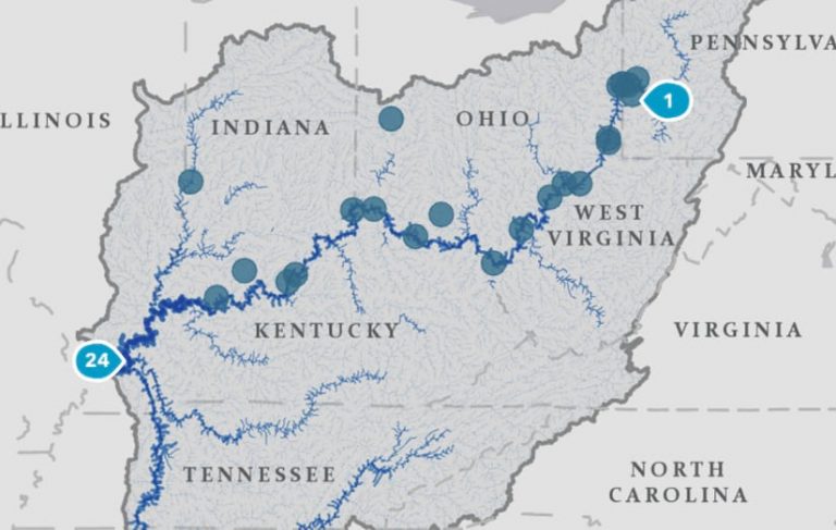
Blue Raster partners with organizations around the world to help them tell stories using interactive mapping technology. It recently collaborated with the National Geographic Society, the Lenfest Institute, and nonprofit media organizations on “Good River: Stories of the Ohio,” which profiles the Ohio River watershed. Blue Raster developed maps for the project and used ArcGIS Pro and ArcGIS StoryMaps to produce an interactive tour of the river.
Royal HaskoningDHV
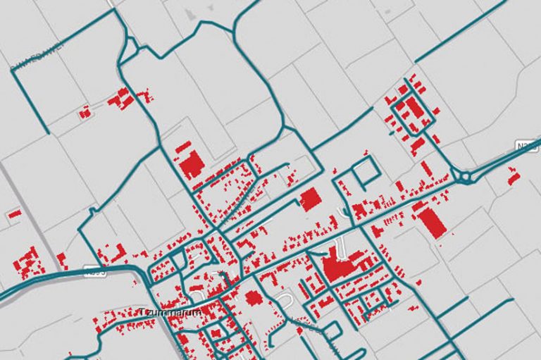
Royal HaskoningDHV’s team of 6,000 people delivers engineering and project management consulting to customers in more than 140 countries in the fields of aviation, building, energy, industry, infrastructure, maritime, mining, transport, urban and rural development, and water. Its iReport tool provides an innovative way to access digital maps, data, reports, images, and animations for projects using ArcGIS StoryMaps. The solution offers transparency and drives stakeholder engagement.
Achieving Financial Success
Codex Remote
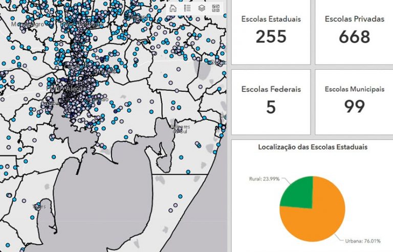
Recently, Codex Remote worked with the Brazilian state of Rio Grande do Sul and its spatial data infrastructure, known as IEDE/RS, to develop a geospatial data repository composed of ArcGIS Enterprise, ArcGIS Online, and ArcGIS Pro. The project, which supports economic and social development, included implementing a geodatabase and geoservices; thematic symbology; Open Geospatial Consortium, Inc. (OGC), standards configuration; metadata; and Web GIS apps.
Web GIS Transformation
Larson Design Group
Among its offerings, Larson Design Group (LDG) supports smart community initiatives. For the Beaver County Regional Council of Governments (BCR-COG), which represents 43 municipalities in Pennsylvania, LDG developed The Citizen Report app, an extension to BCR-COG’s ArcGIS Enterprise software-based Citizen Problem Reporter solution. Residents and visitors submit data through the app to help municipalities identify where and when concerns need to be addressed.

Pro-West
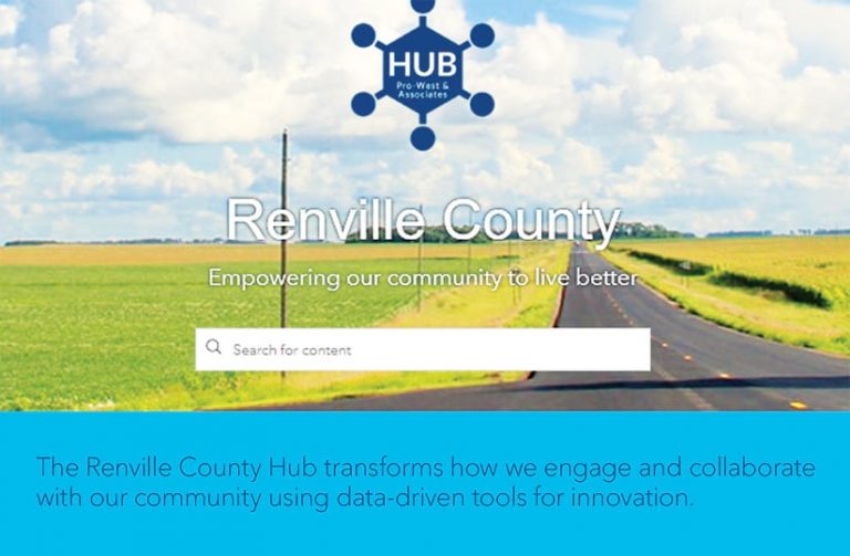
Pro-West provides GIS consulting services, solution and app development, and ArcGIS implementations to a range of government and private sector customers. When Renville County, Minnesota, began its smart community transformation—which involved modernizing its land management system—Pro-West built on the county’s substantial gallery of ArcGIS Online solutions and implemented ArcGIS Hub, ArcGIS Pro, and ArcGIS Parcel Fabric.
Bringing New or Existing Customers to the ArcGIS Platform
arx iT
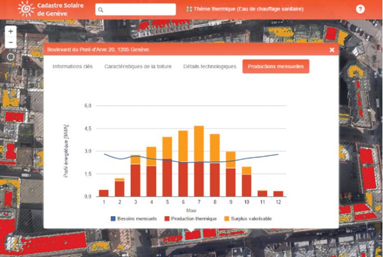
The team at arx iT delivers spatial data services, engineering, web mapping, mobile apps, custom solutions, training, and consulting for customers in a variety of markets. arx iT’s geoIoT offering increases user access to geographic data; addresses smart city initiatives; and helps businesses, municipalities, and individuals make better-informed decisions. With arx iT’s real-time monitoring solutions, Geneva, Switzerland, keeps track of traffic trends and improves management of public parking terminals.
Fujitsu
Fujitsu’s team of approximately 132,000 employees provides a wide range of solutions in the enterprise GIS field for customers in more than 100 countries. Supported by a strong customer base in the public, retail, finance, transportation, defense, manufacturing, and education industries, Fujitsu works with cutting-edge technologies such as AI, the Internet of Things (IoT), and 5G to help its clients pursue digital transformation.
HDR
HDR’s scientists, economists, builders, analysts, and artists specialize in providing engineering, architecture, environmental, and construction services. By helping its federal, transportation, and utility clients employ the ArcGIS platform, HDR enables them to build intelligent enterprises. HDR participates in the Esri Partner Network’s ArcGIS Online and Utility Network Management specialties, and it was the first company to implement ArcGIS Utility Network for a water utility in the United States.
