The United States Environmental Protection Agency's (EPA) Lead and Copper Rule revisions include requirements that water utilities identify sources of lead, establish a trigger level for mitigation, test for lead in schools and childcare facilities, identify and make public the location of lead service lines, and plan complete lead service line replacement.
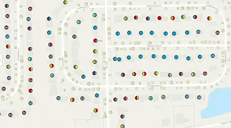
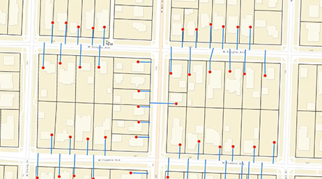
ArcGIS can help water systems staff meet these requirements using analytics, mapping, mobile apps, dashboards, and more. Quickly get started identifying where lead is in your system, validate lead material from the field, and share this information with stakeholders. Esri's Lead Service Line Inventory solution provides a jump start to compliance.