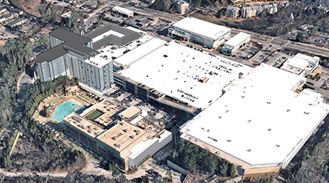
A new vision for Atlanta’s most popular suburb
Sandy Springs, Georgia, uses innovative community engagement strategies to support growth and development.
Explore resources for urban and community planning organizations and connect with industry experts
City and regional planners can use GIS for a digital transformation that encourages collaboration with stakeholders and a more sustainable future.

A new vision for Atlanta’s most popular suburb

Rocky Mount solves the affordable housing puzzle

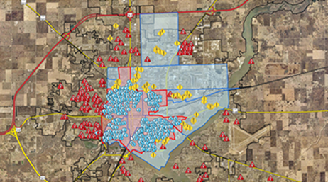
A place-based approach for population growth

Kaua’i helps residents to address sea level rise
Decatur plans neighborhood revitalization

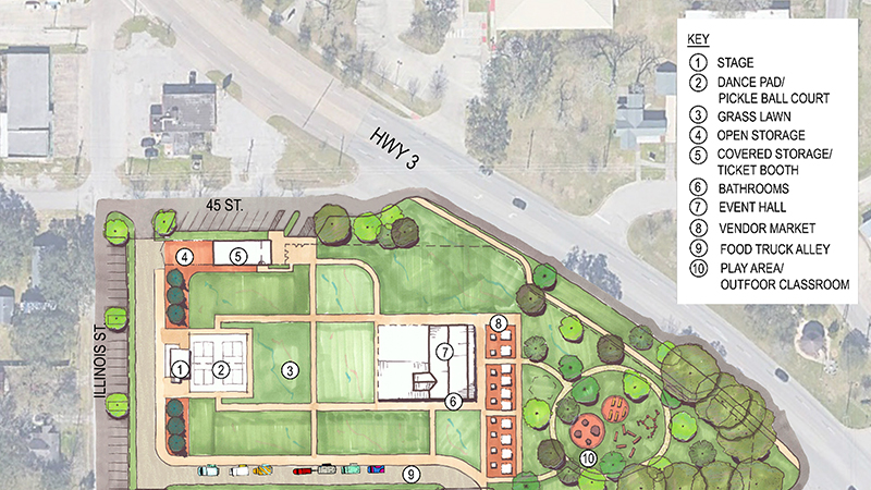
How parks fit into urban planning

Tackling affordable housing with GIS

When AI, location, and planning collide
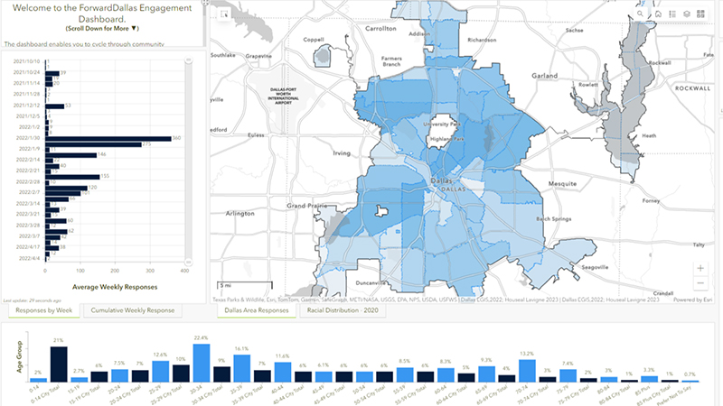
The City of Dallas, Texas, recently adopted ForwardDallas 2.0, but not without clearing some significant hurdles. Lawrence Agu, the city’s chief planner, talks about the department’s engagement process and what they had to overcome to get resident input and buy-in.
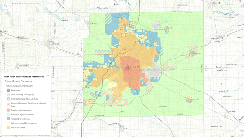
The City of Fort Wayne and Allen County, Indiana, partnered to create an award-winning comprehensive plan for their rapidly-growing region. Learn how they went about it, the challenge of public engagement during a pandemic, and how GIS was an integral part of the plan and process.
Dickinson, Texas, is a city surrounded by suburban communities, with a beautiful bayou through the middle of the city and no formal city center.
City manager Theo Melancon discusses how GIS helps design the city’s plan for attracting sustainable developments and meeting residents’ needs—all while preserving the natural environment.
Mailed to you four times a year, this newsletter brings you news, user profiles, software information, and more.
Stay up-to-date on the latest trends and news with our community development e-brief.
Contribute your success stories and tell others about GIS technology solutions.
Join the geospatial conversation, ask questions, or browse the forums.

Esri User Conference | July 14–18, 2025 | San Diego, CA

Sign up to receive the latest news, updates, and helpful tips for community development professionals.