Most recent
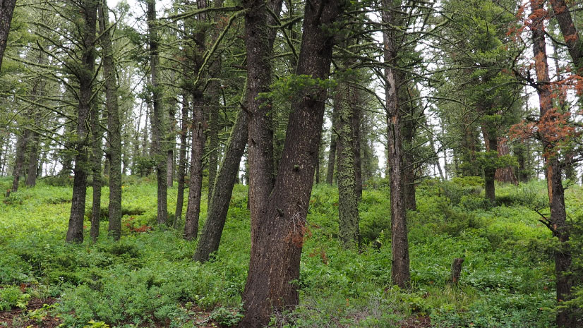
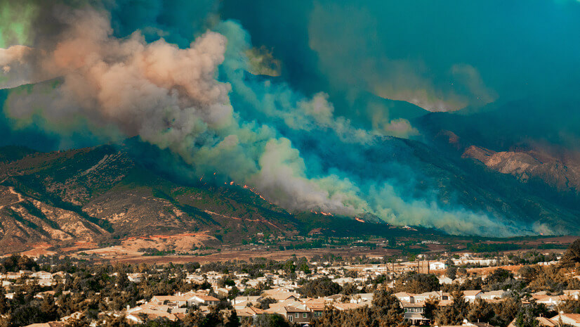
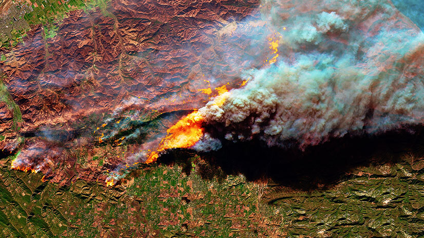
Before It’s Too Late: Making Every Moment Count in Wildfire Preparedness
Time is the biggest challenge in wildfire response. See how GIS & real-time data help communities act before it’s too late.
Most recent
Time is the biggest challenge in wildfire response. See how GIS & real-time data help communities act before it’s too late.
Explore how near real-time location tracking enhances responder safety and operational efficiency during emergency responses.
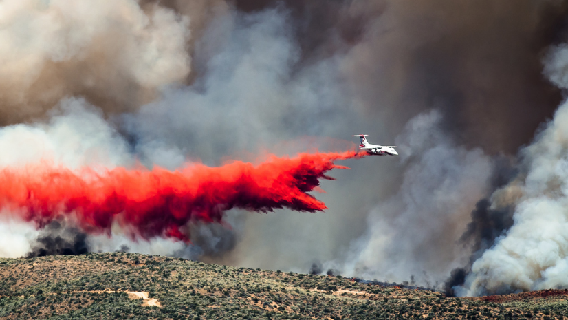
FlightAware and ArcGIS Velocity enable real-time aircraft tracking, alerts, and analysis for safer, smarter emergency response.
ICEYE's SAR and GIS tools revolutionize wildfire response, enabling real-time damage insights to prioritize relief and save lives efficiently.
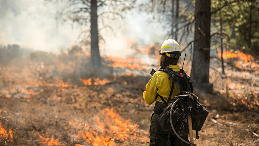
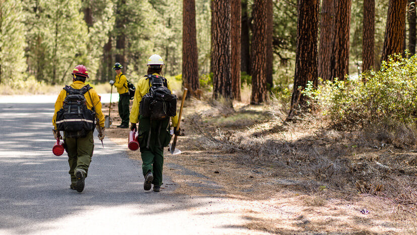
Real-time firefighter location tracking offers a critical solution for safety in disconnected situations.

Esri’s User Conference promises to be a fantastic event and we've compiled a list of all things wildland fire to help you plan your visit.
Explore how Esri helps organizations approach challenges in wildland fire response, including communication and evacuation.
Explore how Esri helps organizations approach challenges in wildland fire response, including communication and evacuation.
Learn about the importance of modernizing Community Wildfire Protection Plans (CWPPs) and how ArcGIS Hub is revolutionizing the planning process.
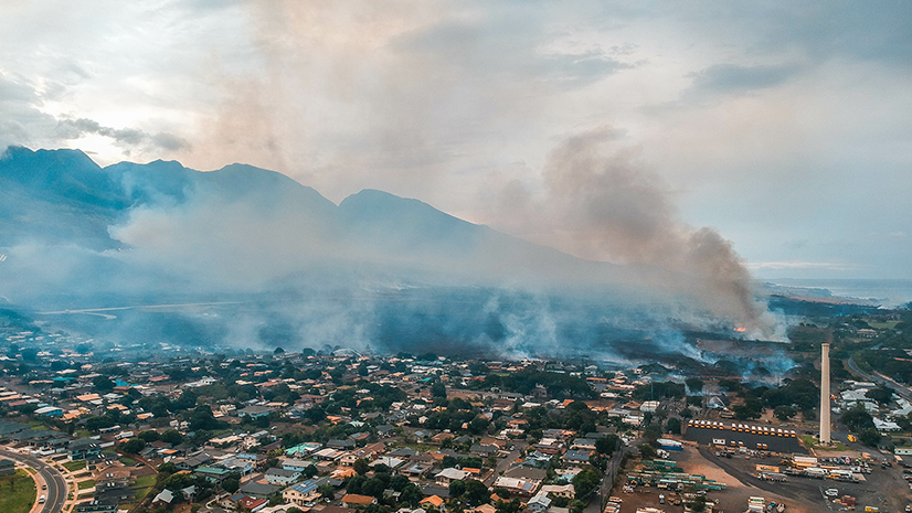
Explore how GIS and AI revolutionize damage assessments post-disasters like Lahaina's wildfires with Esri's deep learning model.