The American Public Works Association’s 2024 PWX Conference was September 8-10 in Atlanta, Georgia. Thousands of Public Works professionals from across the globe convened to learn, share, network, compete, and have some fun supporting the theme of Advancing Quality of Life for All. As we have for decades, Esri was there to support this important event in many ways. We presented, participated in APWA leadership for the newly formed Technology Committee, and met with our partners and users at our booth sharing how GIS is powering Next Generation Public Works.
As a Technology Committee representative, I am excited to see how we can bring vital information to APWA members and the entire Public Works community on the increasing role of technology and its impact on the profession. Stay tuned for the 2025 Top Tech Trends and more in the January issue of APWA Reporter focused on Technology, as well as a virtual AI Summit event. There are other innovative ideas we discussed that can help everyone keep up with the fast-paced Public Works technology landscape and better support APWA’s initiatives, priorities, and members.
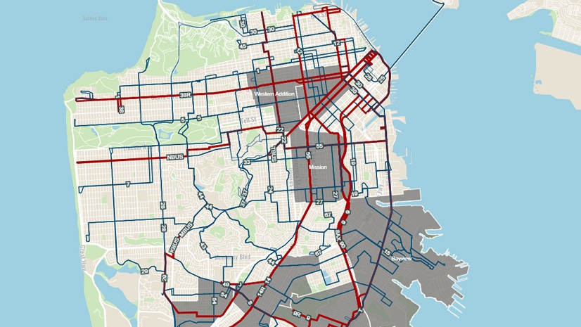
All our sessions were well attended as the Public Works community understands Public Works is a location-based business and GIS is the mission-critical, enterprise IT business system designed to turn location data into insight powering better decision making and delivering significant business value. There were presentations on the latest GIS trends, using GIS to meet Lead Copper Rule Replacement requirements, GeoAI, and drones.

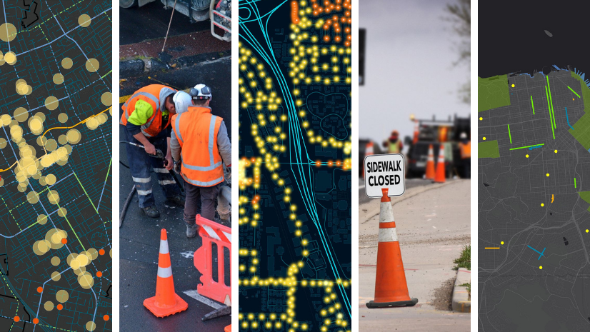
Our booth was the anchor for the GIS Pavilion and was broken out into six kiosks, each one dedicated to a different focus area and manned by a Subject Matter Expert: What’s New in GIS for Public Works, Streets, Roads & Bridges, Capital Improvement Program, Field and Fleet Management, Water Utilities, and Public Grounds and Facilities.

A common theme among conference attendees was catching up on the latest developments, and interest in ArcGIS Solutions, the largest collection of GIS-based solutions in the industry. These solutions are industry-specific configurations of the ArcGIS system designed with organizations like yours to be automatically deployed to meet common needs while reinforcing best practices in a sustainable manner. They lower the risk, time, and cost for GIS application deployment.
The most talked about challenges we heard from conference attendees revolved around pavement management, asset and work order management, regulatory compliance, real-time field and fleet management, and Capital Improvement Program improvement. There was also a lot of interest in AI and GIS, or GeoAI. Esri and our partners have solutions to help with all of these.
The solutions are available at no cost to ArcGIS users, are supported, and are a fantastic way to expand the use of GIS quickly and easily in your organization. They are configurable, so no programming is required. There are 146 solutions, 53 of which are applicable to Public Works. Some of the most popular are Lead Service Line Inventory, Citizen Problem Reporter, Capital Project Tracking, and Road Closures. If you need support for asset management, check out solutions like Sign Management, Signal Management, Streetlight Management, and Tree Management. There are also solutions for sewer, stormwater, and water systems, as well as inventory and inspection solutions. This is the first place to start when looking for ways to mitigate your daily challenges with GIS.
Another important part of each PWX is seeing the impact of the Esri Partner Network on the Public Works industry. On the PWX exhibit floor, there were over forty of our 3,000 partners joining us in communicating the business value of technology to Public Works, which is about 10% of all exhibitors. These included all kinds and sizes of organizations from small startups to industry titans and covered all the Public Works focus areas: Operations & Maintenance, Field & Fleet Management, Capital Project Design & Engineering, Facilities & Grounds, Emergency Response, Streets, Roads & Bridges, and Water/Stormwater.

We are already preparing for PWX 2025 in Chicago and look forward to sharing new ways for GIS to help the Public Works community mitigate their challenges. We hope to see you there. If you would like to learn more about how you can power Next Generation Public Works with GIS, please visit our website.