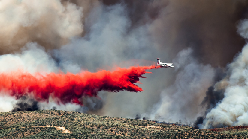
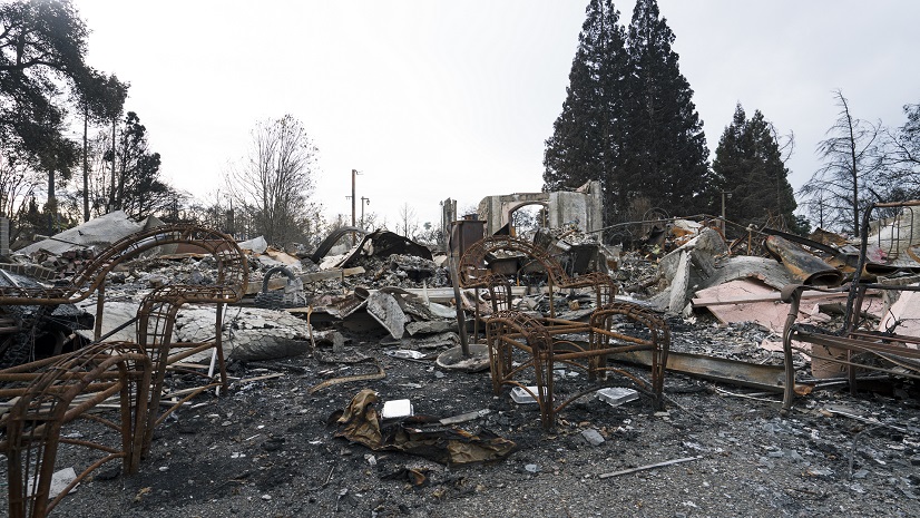
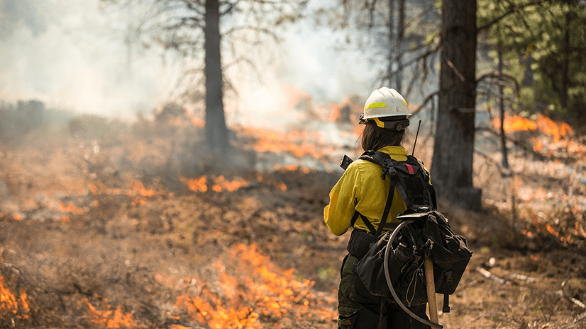
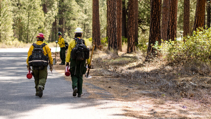
When I started in wildland firefighting, maps were paper, updates were manual, and sharing information across teams often involved radios and pencil marks. I also used to walk to school uphill, both ways – in the snow. Fast forward to today, and the evolution of GIS has transformed how we work. What was once a static process has become dynamic and collaborative, with real-time, cloud-based maps enabling instant updates and sharing across teams. This shift has transformed our ability to respond effectively, providing a level of situational awareness and coordination that was unimaginable a decade ago.
The last fire I worked on was the Fish Creek fire, where I served as a division/group supervisor assigned to Structure Protection. Because all wildland firefighters are now equipped with field data collection apps and digital maps, I was able to triage structures, update national feature services, and orient myself during a helicopter recon flight, even in a disconnected environment. The ability to see real-time data on a common map transformed what could have been a disjointed effort into a seamless operation.
GIS is more than just technology; it’s a common language. It gives firefighters situational awareness when needed most, helping us navigate complex terrain, track resources, and prioritize efforts. For decision-makers, GIS offers a bird’s-eye view of fire behavior and location, resource allocation, and incident impacts, empowering leaders to make data-driven decisions.
On this GIS Day, I reflect on how this technology has revolutionized how we fight wildfires. It bridges the gap between the field and the command center, ensuring that everyone—from incident commanders to ground crews to agency administrators—works from the same operational picture. It’s not just about fighting fires more effectively; it’s about understanding the world around us.
To those doing GISS work, thank you. Your work is vital in protecting communities before, during, and after an incident. Happy GIS Day!


