Overview
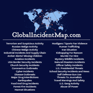
The GlobalIncidentMap.com Situational Awareness Incident Data include near-real-time human-curated incidents in the categories of Terrorism, Disease Outbreaks, Kidnappings For Ransom, Murders For Hire, Border Security, Major Drug Interdictions, Threats To Journalists, School Security Incidents, Threats To Churches, and many other human-curated feature layers/ views.
For a more complete description please download our PDF available at the link below, and reach out to us for any questions or special requests:
The publisher of this data is HUBZONE certified.

Business needs
- Situational Awareness
- Risk Management
Industries
- National Government
- Public Safety
- State and Local Government
- Petroleum and Pipeline
- Electric and Gas Utilities
Platform
- Desktop
- On-premises
- Mobile
- Web
System Requirements
Our Hosted Feature Layer Data Easily Integrates With All ESRI Products In The ArcGIS Ecosystem
Version
3.0.8
Listed Date
February 27th, 2023
Contact Information
GlobalIncidentMap.comhttps://globalincidentmap.comEmail14172540419