ArcGIS Location Platform is a powerful, developer-centric mapping and location intelligence platform that enables product companies and developers to integrate geospatial capabilities into their applications with ease. By providing access to high-quality basemaps, geocoding, routing, enrichment, data hosting and analytical services, Location Platform allows businesses to enhance their applications with accurate, authoritative and market leading data. Whether for logistics, asset tracking, or interactive mapping, Location platform is essential for organizations looking to build location-aware products and solutions.
Here are the new and updated services for Location Platform in the February 2025 release, planned for February 26, 2025.
- Batch Geocoding service goes from beta to general availability.
- Last Mile Delivery service goes from beta to general availability.
- Static Basemap Tiles service goes from beta to general availability.
- Elevation service goes from beta to general availability, with a new free tier of service.
- New Static Maps service available in beta.
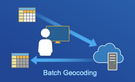
Batch Geocoding:
Batch geocoding, a new feature of the ArcGIS Geocoding service, also referred to as bulk geocoding, is the process of converting a list of addresses or place names into a set of complete addresses with their corresponding locations. The list of addresses can be formatted as a JSON structure or provided in a CSV file. Batch geocoding is commonly used to convert a number of addresses to complete addresses, find the locations for a list of addresses, perform large batches of geocoding or geocode addresses that can be saved for future use.
Learn more about how batch geocoding works.
Last Mile Delivery:
Last mile delivery service adds an additional capability to our suite of ArcGIS Routing Services. The last mile delivery analysis is a use case-specific Vehicle Routing Problem (VRP) algorithm designed for a fleet of vehicles that are delivering packages to the final customers. For example, this can be used for a single distribution center or store delivering to the final customer location and can be quite dense delivering to a few customers on most streets but is not intended to visit every house on every street.
Learn more about the last mile delivery operation.

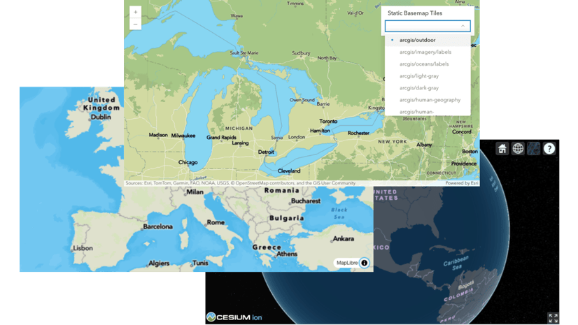
Static Basemap Tiles:
This new ArcGIS Location Service provides developers with on demand generation of raster tiles from ArcGIS vector basemaps for the world. The service supports several ArcGIS vector basemap styles such as navigation, streets, outdoor, and light gray. The tiles are returned as PNG files. This service is ideal for developers that need the always up to date value vector basemaps provide but potentially have hardware specifications that require raster tiles or applications without vector tile rendering capabilities.
Learn more about the ArcGIS Static Basemap Tiles service.

Elevation:
Our new ArcGIS Elevation service offers developers a new lightweight highly performant API that allows them to retrieve elevation values for specific locations. Developers can perform operations for a single or multiple locations at once. Elevation values can be returned as measures of ellipsoidal (geodetic) height above ground level or orthometric (geoid) height above mean sea level. This service offers global coverage and can be used to determine the elevation of features such as weather stations, assess elevation changes along roads and trails, and analyze terrain for urban planning and environmental studies.
Learn more about the Elevation service.

New Static Maps service:
The ArcGIS Static Maps service, coming soon, enables developers to create and easily embed map images from ArcGIS Basemaps on websites or in applications where interactive maps aren’t the best option. These images can be displayed on web and mobile devices without the aid of a mapping library or API. They look like an embedded map, but don’t have interactivity or controls. Static maps capabilities are critical as they enable the visualization of location data through a wide variety of use cases and experiences such as ride hailing or delivery receipts news articles or post activity summaries like a recap of your latest run.
Join the Static Map Service beta program via Esri’s Early Adopter Community program.

Why These New Services Matter for Developers
These new services empower developers to build more efficient and effective location-based applications. Here’s how they make a difference:
- Performance Gains – Static maps provide near instant load times, reducing latency and bandwidth consumption.
- Developer Flexibility – Static Basemap Tiles ensure compatibility across devices, while elevation and routing services expand geospatial capabilities.
- Enhanced End-User Experience – Optimized routing and clear visual representations lead to more intuitive applications for users.
- Scalability and Reliability – The new services are designed to support large-scale applications, ensuring smooth operation even in high-demand scenarios.
With these latest advancements, ArcGIS Location Platform continues to be the go-to solution for developers seeking robust and scalable location services. Location Platform also gives you access to mapping SDKs and APIs to build web or native apps. Including ArcGIS Maps SDKs, open-source libraries and scripting and services APIs. Additionally, developers can create, prepare and manage content and data for applications using data management tools.
Stay tuned for further updates and enhancements as ArcGIS Location Platform continues to evolve! To keep up with the latest features and capabilities, sign up to the Esri Developer Newsletter.


Commenting is not enabled for this article.