We are very excited to announce that StreetMap Premium is now available with a new set of geocoding locators that are similar in functionality to the ones used in the ArcGIS Online World Geocoding Service. This update helps us move closer to delivering consistent quality and service across all our geocoding products.
The new locators are available starting with the North America 2018R2 release and with the next releases of other regions. These locators offer significant improvements in quality and performance. Let’s look at those in a bit more details:
Single locator files. StreetMap Premium is available with a single locator file for multiple countries. This increases simplicity and improves efficiency as you do not have to setup multiple locator files for each region/country.
Small and efficient. The new locator files are comparatively much smaller in size and hence require fewer system resources such as RAM. Smaller size also enables simpler and faster downloads of locator files which get frequently updated with latest street reference data.
Improved matching logic to better handle poorly formatted and/or misspelled addresses. Every organization’s database may include some questionable addresses with misspellings or extra information that can’t be geocoded such as customer names. The new locators help organizations handle this type of incorrect information to boost geocoding scores and achieve much higher address match rates.
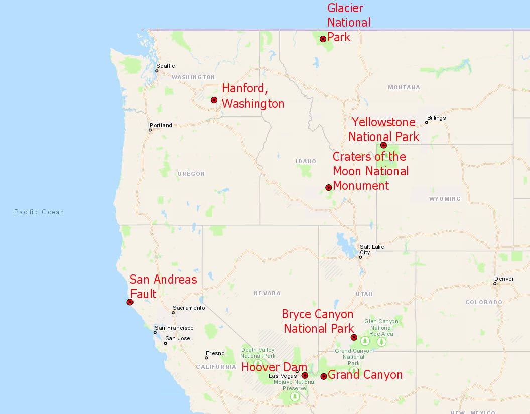
The ability to batch geocode Point of Interest (POI) data. The new locators allow for a mixture of both address and place names, which means you can now batch geocode addresses, postal codes, and POIs, or any combination of these, as highlighted in Fig 1.

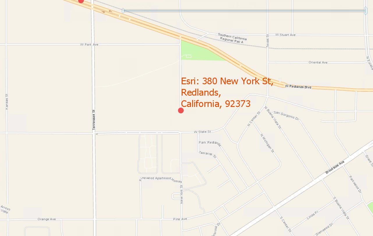
In addition, you can now combine POI names with addresses and postal codes in a single search, Fig 2. Thus, StreetMap Premium enables more search flexibility than ever before!

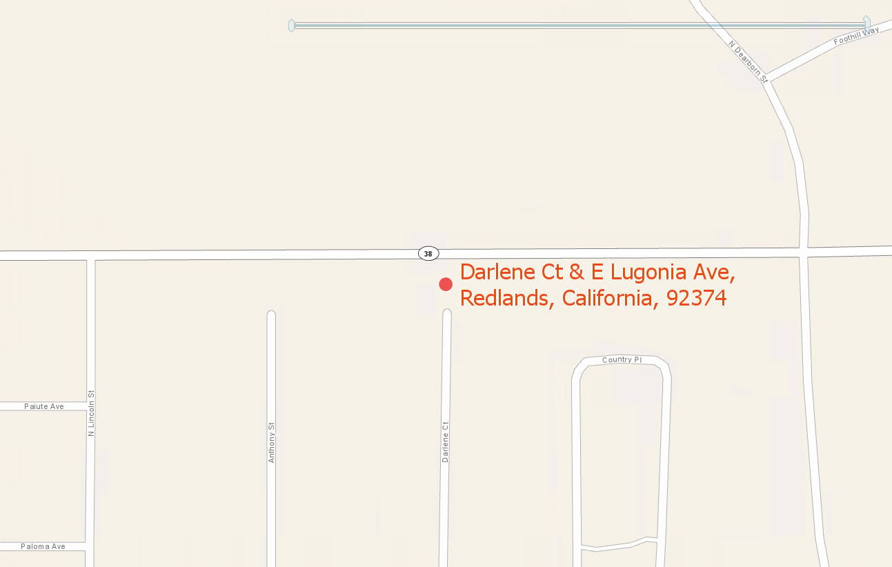
Enhanced intersection support for physical and logical intersections. The new geocoding locators help find intersections between streets that are not physically connected. Some examples include:
- A street ending in cul-de-sac or dead end that is separated from another street by a walkway, as highlighted below in Fig 3.
- An elevated highway crossing over a road beneath it
- Streets entering a roundabout

A superior reverse geocoding experience that returns POI, postal, or any other specified feature. In the past, reverse geocoding was the process of taking X/Y coordinates and converting them to an address or intersection. However, when you reverse geocode a location you’re really trying to find an answer to the question “What’s near me?”, or more specifically, “What’s near this location?” The new locators match the most relevant features near your location when you reverse geocode, and you can control which features are returned. It can be anything ranging from an address to a park, restaurant, postal code, or city for example.
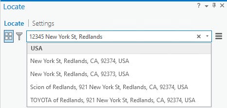
Suggestions for ArcGIS Pro –The StreetMap Premium locators support Suggestions (type ahead) when used on the desktop with ArcGIS Pro, as displayed below in Fig 4. The locators have been enhanced to support the verification of house numbers against the reference data. Suggestions for house numbers are only shown when a house number exists for a point addresses or address ranges in the reference data. This helps improve the identification of real addresses and reduces the chance that an address doesn’t exist on the ground.

Data refresh – StreetMap Premium locators will continue to be updated with new reference data at regular intervals, providing you with detailed regional coverage using high-quality authoritative datasets.
Not familiar with StreetMap Premium? StreetMap Premium is an optimized pre-processed ready-to-use street data set that extends the value of ArcGIS Desktop and ArcGIS Enterprise by enabling on-premise capabilities such as map display, geocoding, and routing. StreetMap Premium is ready-to-use in your infrastructure. You can use it with the ArcGIS desktop completely disconnected to any network or publish its data within ArcGIS Enterprise server to be made available across the entire organization.
Useful links:
- Information about setting up and using the new StreetMap Premium locators
- Information on StreetMap Premium
Commenting is not enabled for this article.