We are pleased to announce the US Parcel Boundary tile layer as a new addition to Esri Premium Content. Made available in collaboration with Esri partner, Regrid, users can access this new feature directly through the ArcGIS Living Atlas, saving time on research, procurement, and sourcing. This layer will be regularly updated and covers urban, suburban, and rural areas in the United States, providing a complete view of land parcel distribution. As curated content, this layer works seamlessly with ArcGIS, ensuring compatibility with other data layers for smooth visualization, query, and source data access.
What are Parcel Boundaries and Why Do They Matter?
Parcel boundaries, also known as cadastral boundaries, represent the defined edges of land borders on a map. Parcels are represented by property lines and polygons, which contain attribute information used to understand the physical, financial, legal, and environmental aspects of a given property. The boundary lines of parcels are established through official processes, which include surveys, legal, and official government records, ensuring their accuracy and reliability. This formal validation makes them a valuable and authoritative layer to facilitate property transactions, taxation, land management, and the enforcement of property rights and usage.

Uniting Parcels and ArcGIS
ArcGIS enhances the utilization of parcel data through accurate and advanced spatial analysis, integration with diverse datasets, and contextual visualization. This allows users to empower and facilitate their work to reveal patterns and relationships that are not immediately evident in traditional analysis or tabular data.
Here are some examples of the markets where this data can be readily applied for more insightful analysis:
- Government and Public Policy: To manage taxation systems and collection, local governments leverage parcel boundaries to plan infrastructure projects, manage public lands, enact policies, enforce zoning laws, and assess property taxes.
- Environmental Studies: To aid conservation efforts and sustainable practices through mapping, researchers utilize parcel boundaries to analyze land use patterns, track changes in land cover, and study the environmental impacts of human activities.
- Utilities and Infrastructure: Utility companies employ parcel data to plan the placement of services such as water, electricity, and telecommunications.
- Urban Planning and Development: Planners and developers depend on parcel boundaries to craft and execute efficient land use strategies, aiding in zoning decisions, infrastructure development, and the management of public services.
- Architecture, Engineering and Construction (AEC): To enhance precision, construction companies and engineers utilize land plots to aid in planning, design, and construction projects.
- Environment, Social and Governance (ESG): To foster accountable sustainability, parcels are used to assess environmental impact, track social indicators, and manage governance standards.
- Public Safety: Law enforcement and officials improve community safety and preparedness by mapping out crime trends, planning emergency responses, and allocating resources effectively.
- Real Estate: Realtors, property developers, and legal entities utilize property information to identify potential investments, evaluate land value, facilitate transactions, and ensure legal ownership and resolution of disputes.
- Insurance: Insurers and Reinsurers leverage parcels for risk assessment, portfolio management, property data collection, underwriting, claims processing and damage management.

Getting Started
Users can utilize ArcGIS Online or ArcGIS Pro to search for ‘US Nationwide Parcel Boundaries’. These parcels are accessible to everyone through the ArcGIS Living Atlas. However, for additional functionalities, non-users can sign up for a free trial of ArcGIS Online.
What Can You Do With This Tile Layer?
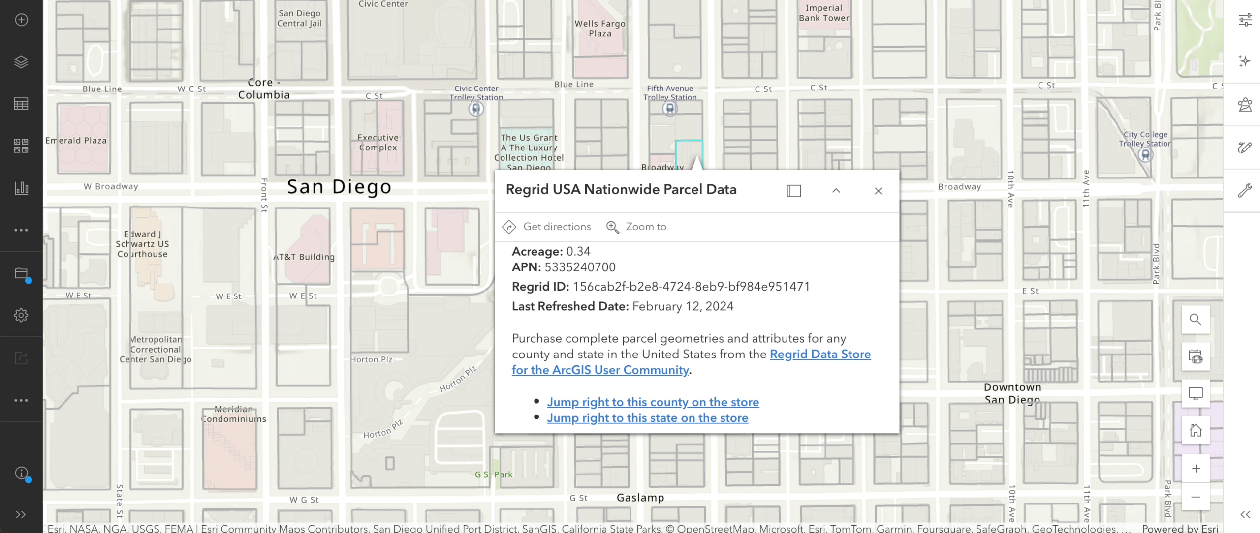
Once opened in Map Viewer, users can explore the tile layer for their areas of interest, add the layer to their web maps and apps and share with other members of their own organization or the public. While exploring, users can click on a parcel in the tile layer to view a pop-up with basic attributes, including:
- Parcel Number
- Unique ID
- Address
- Last Refresh
- Acreage
By design, tile layers allow users to display large datasets and other geographic information efficiently, especially over the web. Additionally, users have the following options available to them:
- Adjusting the appearance of the tile layer with blending and transparency tools to reduce the visible range in the Map Viewer.
- Overlay other data layers, such as feature layers or dynamic map services, on top of the tile layer to provide additional context or information.
- Collaborate with others by referencing the tile layer in maps and apps shared across your organization or through ArcGIS Online.
- Transition from static to interactive maps by integrating the layer with other ArcGIS layers or by customizing the pop-ups to display attribute information when users interact with the map, like the parcel tile layers available in the Living Atlas example below.

Want More Attributes? No Problem!
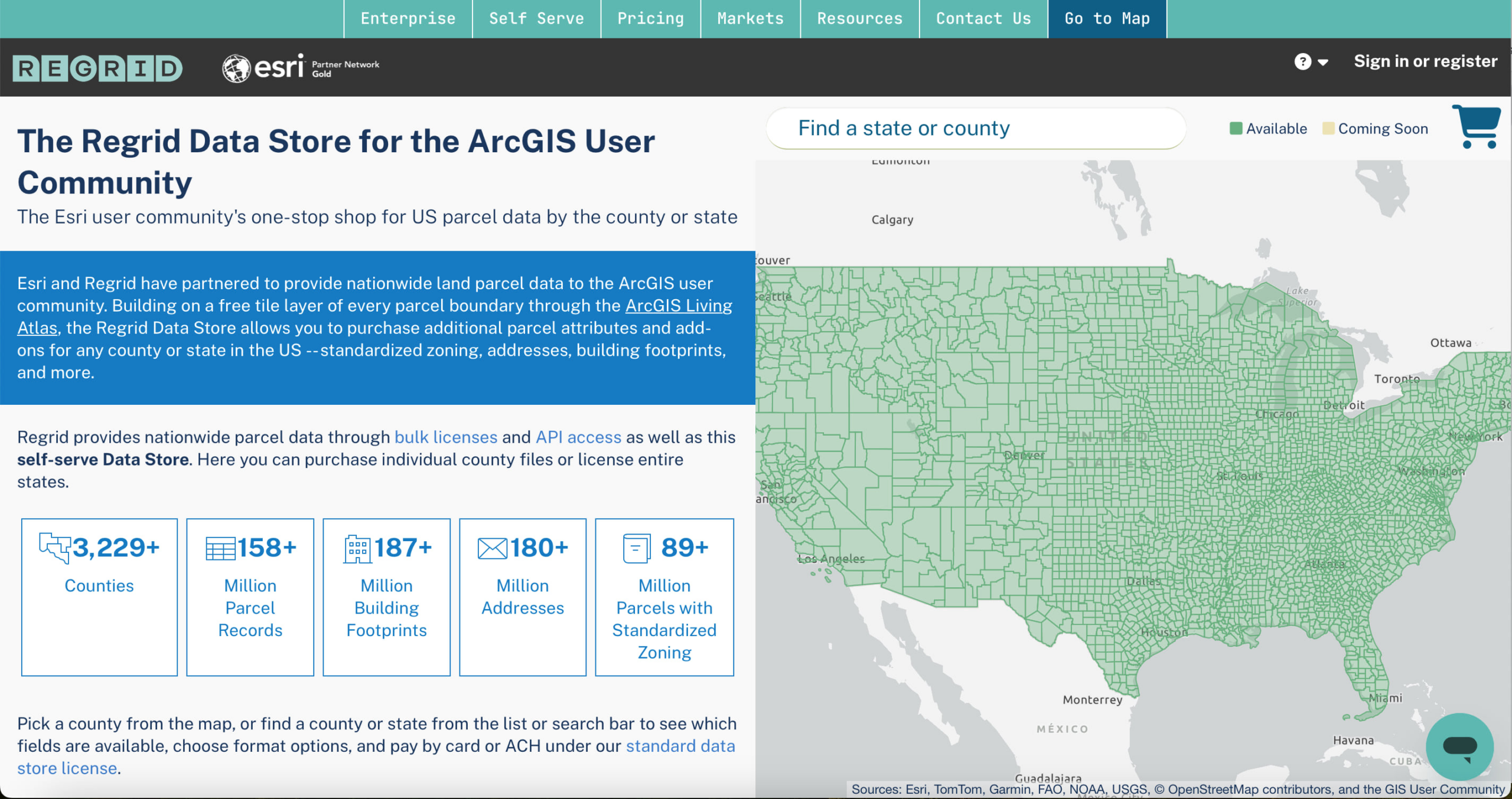
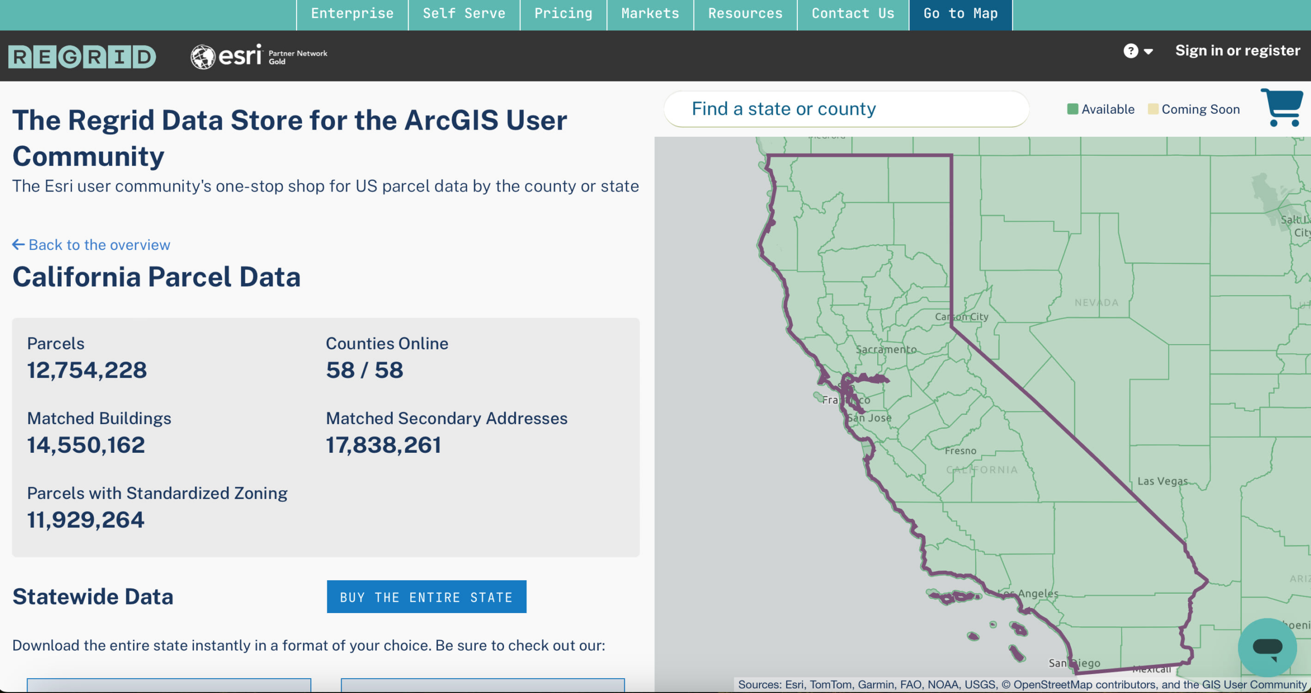
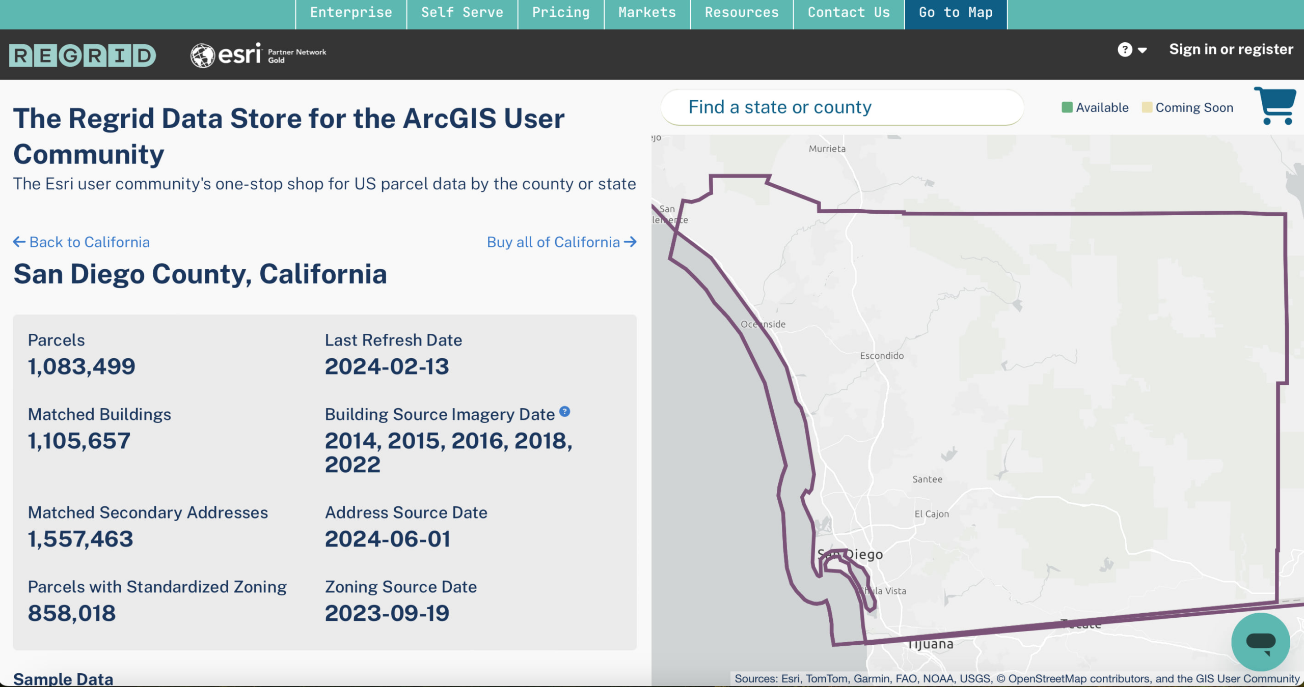
Users who are interested in more attributes can click on the links found within the pop-ups. These links will lead them to an online datastore where Esri and Regrid have partnered to provide nationwide land parcel data to the ArcGIS User community. Here users will have the option to purchase parcel boundaries that contain a wider array of attributes, such as zoning, vacancy, land-use, flood zones and other characteristics.


Stay Tuned-in
We will be sharing more parcel-focused updates soon, so stay connected. Feel free to reach out to us with any questions or feedback.
Thank you!
Thank you to Esri partner, Regrid for supporting ArcGIS users. Through their partnership with Esri, Regrid has extended their data and innovation by supporting the availability and distribution of this valuable data. This collaboration highlights how Esri partners can play a pivotal role in broadening the use of ArcGIS and the advancement of GIS.
About Regrid
Regrid is an industry-leading property data and location intelligence company, serving an array of industries that require land parcels and spatial data at scale, including real estate, insurance, energy, infrastructure, agriculture, logistics, and government. Learn more about Regrid and their products at regrid.com
Article Discussion: