Nuclear power is making a comeback as a compelling option to meet growing energy demands. Once the cornerstone of carbon-free energy in the US, nuclear now accounts for half of nonfossil fuel energy, according to the US Energy Information Administration. While wind and solar projects have overshadowed nuclear in recent years, growing power demands from AI-based computing, EVs, and electric fuel pumps have sparked bipartisan support for a nuclear ramp-up.
Choosing the right location for a nuclear facility is complex, due in part to the risk of catastrophic accidents, which leads to intense scrutiny and political pressure. Although Pew Research found that a majority of Americans support more nuclear power, negative public sentiment can derail projects.
To navigate these challenges, many energy providers have turned to location intelligence to streamline site selection.
Where to Build Nuclear Power—Safely and Profitably
Given the high stakes and regulatory constraints on nuclear production, choosing the safest possible location is paramount for utilities and energy providers. Nuclear facilities must be built away from fault lines, cities, and areas prone to wildfires and other hazards. Any site needs access to water for cooling, but must have a low flood potential.
Risk mapping with GIS technology pinpoints areas vulnerable to storms, fires, earthquakes, and other hazards. This visualization helps stakeholders understand the feasibility of a prospective location.
Advancements in nuclear technology are broadening the scope of site selection. Small modular reactors (SMRs) offer an alternative to the high cost and construction challenges of traditional nuclear plants. Public utilities and private companies have already started weighing locations for SMRs, with one Nebraska utility mulling 16 potential sites for as many as four reactors. Prominent software companies have secured permits to place SMRs near AI data centers.
Location Intelligence Drives the Energy Sector
Leading utility companies routinely leverage GIS technology to site new energy projects.
The world’s largest offshore wind energy developer uses GIS to analyze numerous factors when placing wind turbines—bird flight migration patterns, shipping lanes, even the presence of unexploded World War II ordnance. GIS analysts parse weather data to understand a site’s economic potential. A nuclear energy provider might add map layers tracking public sentiment or regulatory factors associated with prospective locations.
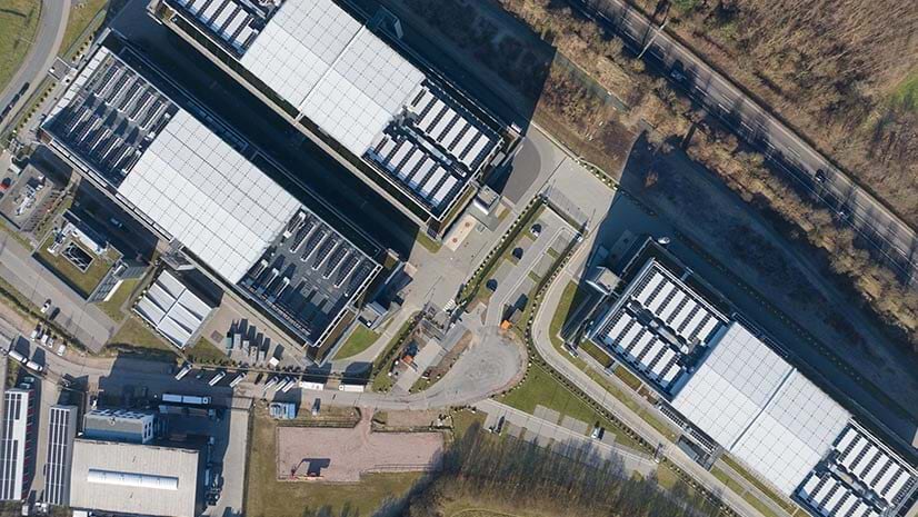
Aerial imagery analysis informs site selection for another large renewable energy company. Stakeholders interrogate GIS maps for information on wind speeds, terrain slope, floodplains, soil composition, and proximity to power infrastructure. Location intelligence like this helps company leaders assess building costs and pinpoint sites with the highest ROI.
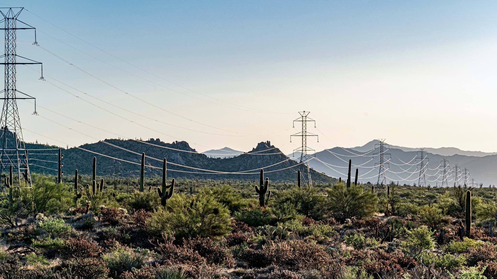
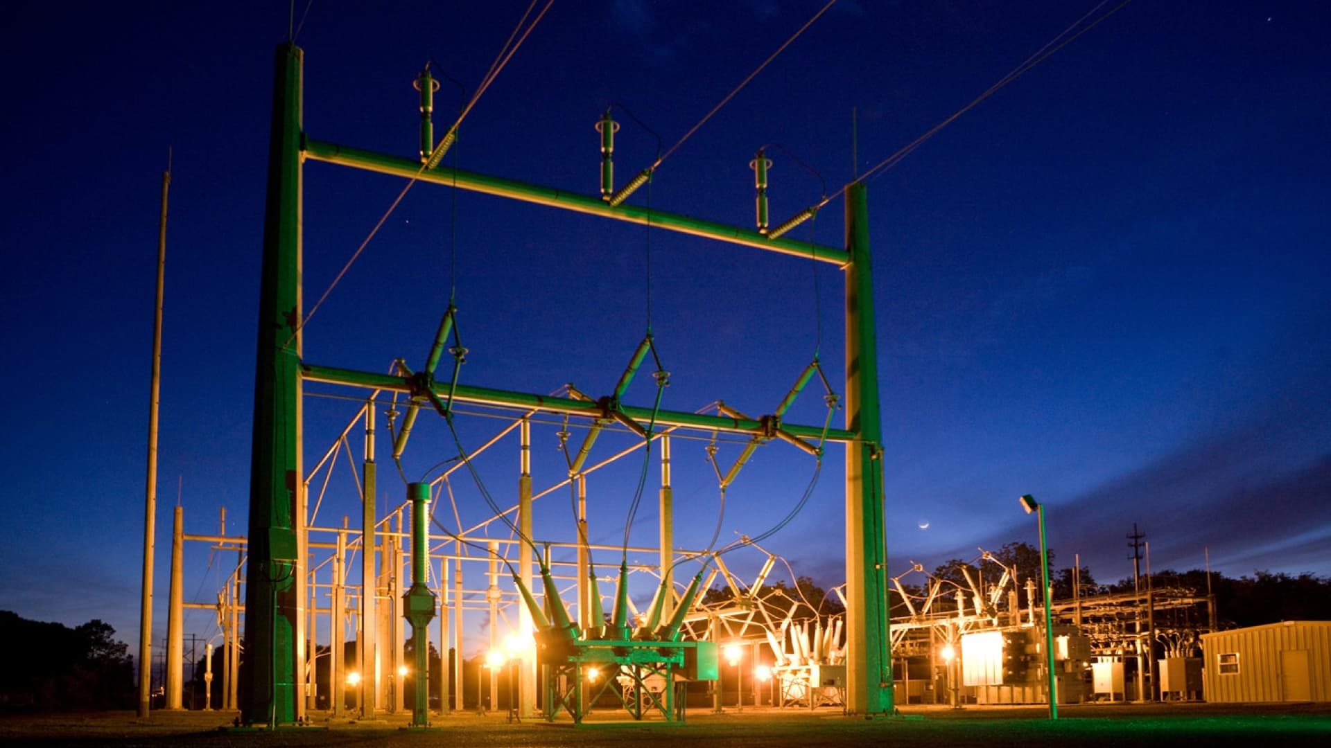
Top grid operators—the companies tasked with building transmission lines and substations to accommodate new energy sources—use GIS to manage site selection and operations. One European firm tracks each permitting stage of power projects on a map, while planners use GIS to forecast energy demand and prioritize grid improvements.
As the energy transition increasingly incorporates nuclear power, success hinges on strategic site selection. Despite the ever-evolving landscape of technology advancements, public attitudes, and physical hazards, GIS provides a comprehensive context that supports critical business decisions.
The Esri Brief
Trending insights from WhereNext and other leading publicationsTrending articles

December 5, 2024 |

July 25, 2023 |

November 12, 2018 |

February 1, 2022 |

July 29, 2025 |

July 14, 2025 |


