New York’s LaGuardia Airport, notorious for its cramped and confusing layout, has emerged transformed after a nine-year, $8B modernization. The rebuilt terminal now welcomes travelers with striking floor-to-ceiling views of Flushing Bay, while strategically placed checkpoints, bag drops, and kiosks ensure efficient movement throughout the facility.
Infrastructure investments like LaGuardia are vital economic engines. According to PwC analysts, governments and businesses worldwide will spend $9 trillion on infrastructure improvements this year alone. Yet modernizing these systems—whether ports, roads, rail networks, pipelines, or communications infrastructure—often means working in constrained physical environments.
Today’s planners face multiple challenges: creating better-connected, more resilient infrastructure while minimizing disruption and keeping soon-to-be-retired structures in service. Geographic awareness has become the essential foundation for meeting these demands. Through digital twins powered by geographic information system (GIS) technology, infrastructure leaders now organize, analyze, and share project information with unprecedented efficiency at every phase of development.
Identifying Infrastructure Issues, Planning Improvements with a Digital Twin
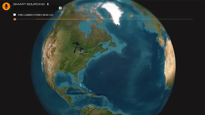
The digital twin is a modest name for a technology that can feel like something from science fiction. It’s a way of mirroring the physical world—a supply chain network, an airport, a shipping port—in the digital world. A digital twin is grounded in geography and often incorporates drone and satellite imagery and data from real-time sensors.
Before the LaGuardia project, New York took on a project to reduce subway delay times. The MTA used GIS digital twin techniques to map train lines, tracks, and signals, allowing managers to see recurring issues. With that insight, they made signal improvements more quickly and scheduled maintenance during less disruptive periods.
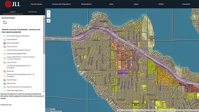
Across the pond, Vodafone, the second-largest mobile phone company in the world, created a highly granular digital twin of its UK infrastructure. Planners use the GIS model to monitor plans for new housing, shopping centers, and sports venues, helping ensure a strong cellular network wherever demand is growing. The digital twin is so detailed that engineers can plan construction work virtually.
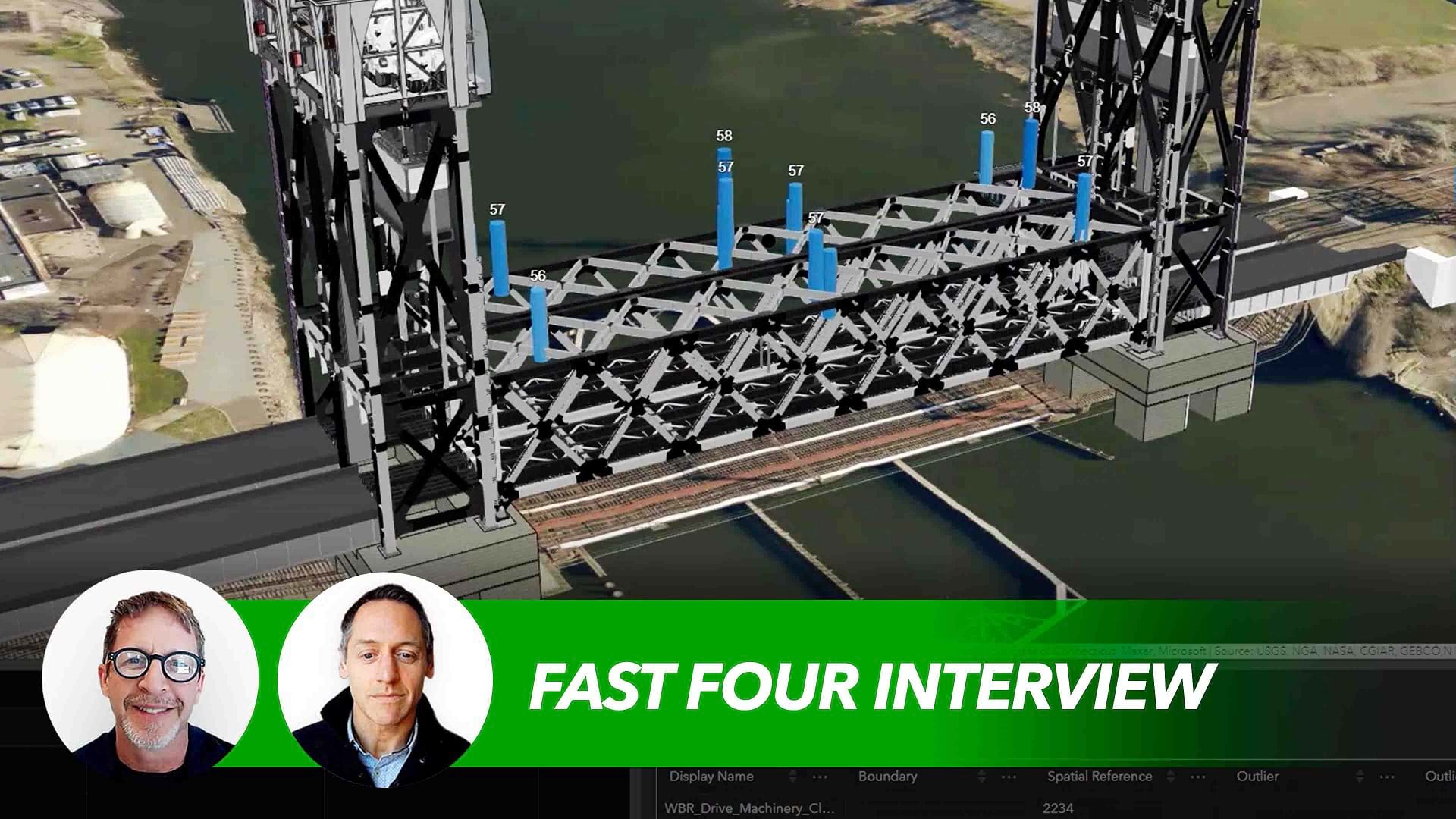
Common Data Environments, Continuous Improvement
Throughout the infrastructure life cycle—from project planning to ongoing operations—developers now harness the power of GIS digital twins that integrate building information modeling (BIM) data with sensor readings and 3D images. Within these interactive 3D environments, stakeholders evaluate regulatory constraints, refine cost calculations, optimize production timelines, and implement resilient design strategies. The same platform enables precise tracking of material shipments so the right contractors report to the right jobsites with exactly what they need, when they need it.
Once design and construction are complete, facilities teams use GIS to continuously improve operations:
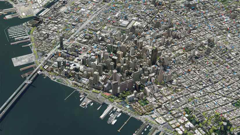
- San Francisco International Airport tapped a dynamic model to find the best place for in-terminal retail outlets. Crews consult detailed asset maps when performing HVAC maintenance across the facility.
- The Port of Rotterdam used GIS to create the foundation for a digital twin, which will eventually track the sprawling facility in real time and help handle its next generation of customers: autonomous cargo ships.
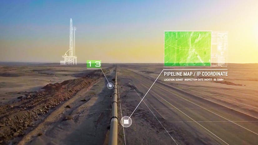
- The US Army Corps of Engineers can forecast dredging needs in US waterways before sediment hinders the movement of cargo-carrying barges. A digital twin that monitors vessel traffic, river conditions, and operations helps crews work proactively.
A well-functioning transportation system is the circulatory system of a healthy economy. As public and private investments rise to meet the demands of 21st century travel, savvy planners are turning to GIS technology and digital twins to efficiently build and maintain tomorrow’s infrastructure.
The Esri Brief
Trending insights from WhereNext and other leading publicationsTrending articles

December 5, 2024 |
July 25, 2023 |
November 12, 2018 |
April 1, 2025 |
February 1, 2022 |

April 16, 2024 |