In the face of disruptive weather events, some companies are looking to “climate havens” for protection against business interruption. But do safe harbors really exist?
The Michigan Economic Development Corporation (MEDC) thinks so and is betting that the US Midwest is among them. A healthy share of business executives appears to agree. Three-quarters of those recently surveyed by MIT Technology Review Insights and MEDC said their companies have considered relocating due to weather-based risks, and nearly half believe the Midwest is the nation’s least vulnerable region.
Every one of the 300 executives surveyed across 14 industries, including retail, financial services, and manufacturing, cited weather-driven impacts such as property damage, operational downtime, increased insurance costs, and supply chain disruptions.
Despite these risks, only 6 percent plan to relocate their businesses within the next five years. However, nearly a quarter have already done so. When evaluating potential business sites, 71 percent of executives prioritize the availability of weather-planning resources as a top criterion.
One resource gaining traction among corporate leaders is the geographic information system (GIS), a business intelligence tool grounded in scientific projections of risk.
Testing Climate Haven Assumptions with Science
While some experts doubt that any region is immune to climate risks, executives can make informed expansion or relocation decisions with careful consideration.
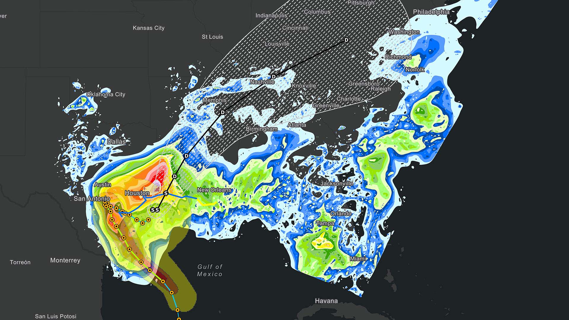
Many have turned to GIS and GIS-based prediction resources like the Climate Mapping for Resilience and Adaptation tool. CMRA provides science-based projections on the potential for drought, wildfire, and flooding in any US region, city, or neighborhood.
An executive who suspects the Midwest is a climate haven can use this form of location intelligence to fact-check the assumption.
One Dutch investment firm with assets of more than €15 billion uses GIS-powered projections to steer investment decisions. With digital maps, managers see how properties or regions might be impacted by flooding, heat stress, wildfire, and other environmental factors.
The firm also uses insight from a risk map to inform discussions with building operators. Knowing which forms of disruption are likely to occur in which locations helps operators build resilience against potentially catastrophic weather events.
Mapping Risk Today and Tomorrow
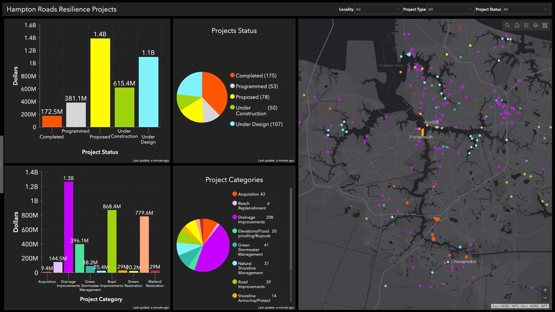
Executives are also using maps to analyze present-day hazards at key locations across their business operations. One of the world’s largest hotel operators uses GIS-based assessments to interpret weather risks and other threats to their facilities. With these insights, they make operational adjustments all over the world, every day.
With weather events costing the US nearly $150 billion in damages each year, it’s no surprise that executives are looking for places that could safeguard their businesses against loss. While a true safe harbor may not exist, GIS maps and analysis can help executives determine which locations pose less risk. In the quest for business continuity, location intelligence guides the strategic adjustments that deliver true business resilience.
The Esri Brief
Trending insights from WhereNext and other leading publicationsTrending articles

December 5, 2024 |

July 25, 2023 |

November 12, 2018 |

February 1, 2022 |
July 29, 2025 |

July 14, 2025 |
