October 18, 2021 |
Ryan Lanclos | Public Safety
December 13, 2021
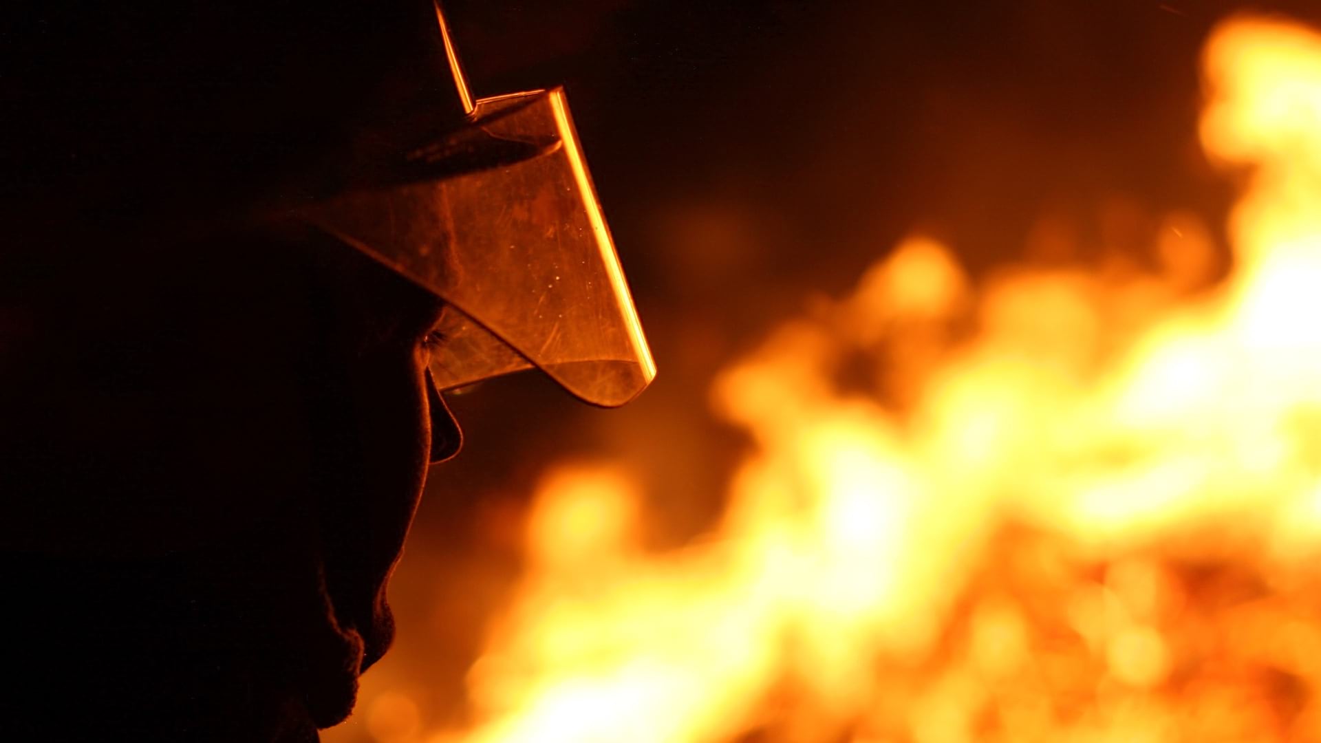
What we’ve learned about wildfires – their behavior, fuels, chosen paths – has changed as dramatically as the technology used to study them. As a result, the way we fight them is changing too.
After 4.4 million acres were scorched last year in California, and another 2.5 million as of November 2021, the state and country are poised to fight fires far differently by spending billions to prevent them, rather than suppress them. California is setting aside $1 billion this year for fire efforts focused on clearing forests of potential fuel like dry vegetation and plans to spend at least $200 million annually for the next six years. Nationally, lawmakers have proposed billions to do the same across the country.
Californians and much of the country are going to need to learn to live with good fire to prevent devastating fires, adjust to a future where familiar forests may never grow back, and where it will take careful human intervention to foster a new kind of wilderness.
That was among the messages from experts speaking at The Geography of Wildfire and Forest Resilience: Preparing for What’s Next presented by Esri and the Los Angeles Times in November.
Modern technology is helping build the healthy forests of the future. Able to do more than ever, it’s observing, even predicting, fire behavior and helping determine which species of tree may endure climate change and the threat of wildfire better than others.
The many factors driving shifting wildfire behaviors include climate changes, weather, local winds, water-stressed vegetation, fuels, topography, soils, and ultimately, us — humanity.
The complexities resemble a “fire quilt,” says Joaquin Ramirez, founder of Technosylva which developed the fiResponse software system, built with Esri’s ArcGIS technology, that is used by states and fire agencies in predicting and monitoring active wildfires.
Key is learning to “live with good fire,” he said, the type of fire that keeps forests in balance, as well as resisting the desire to rebuild homes in the same locations of previous, recent, fires.
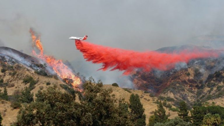
Of California’s 16 largest and most intense wildfires in its history, half occurred in just the last two years. Despite that, it could have been far worse, Ramirez said. There were likely countless more acres saved because of early detection and simulations through the company’s technology, he said.
Technology has been made even more necessary to study fires as their size and severity have grown.
“We can’t ground truth a million plus acres of land each year,” said Libby Pansing, a forest and restoration scientist with American Forests, referring to the practice of checking assumptions in person. “We can’t do this work on the ground, by ourselves.”
That’s where geographic information system (GIS) technology has been able to fill in the gaps where landscapes can’t be inspected in person. When restoring forests, the group must target its efforts to the areas with the greatest ecological need and potential, and with the fewest logistical constraints to doing their job. Following the 2020 Creek Fire, the group used GIS to create a heat map to show distances to the nearest green trees needed for natural regrowth where the wildfire had burned. Another map layer showed a one-mile buffer from surrounding roads to determine where forestry workers could most easily access for replanting.
California has become NASA’s laboratory for testing new instruments and developing tools as it observes wildfires that have almost burned to the edges of its own Jet Propulsion Laboratory campus in Southern California.
Dr. David Shimel, the agency’s lead for carbon cycle and ecosystem programs, said radar technology has made it easier to observe topographic landscapes and forest structure allowing them to distinguish the types of vegetation below the tree canopy. Lidar has led to 3D reconstructions of forests showing what an area looked like before and after a wildfire raced through.
Thermal sensors can measure evapotranspiration and show if vegetation is water stressed, making for potentially worse fire situations. Positioned on the International Space Station, the ECOsystem Space-borne Thermal Radiometer Experiment on Space Station (ECOSTRESS), gives the agency an eagle’s eye view, showing the most stressed areas before a major fire and how that stress abates, or not, as a burn scar recovers. Scientists can see through smoke and observe the energy of active fires.
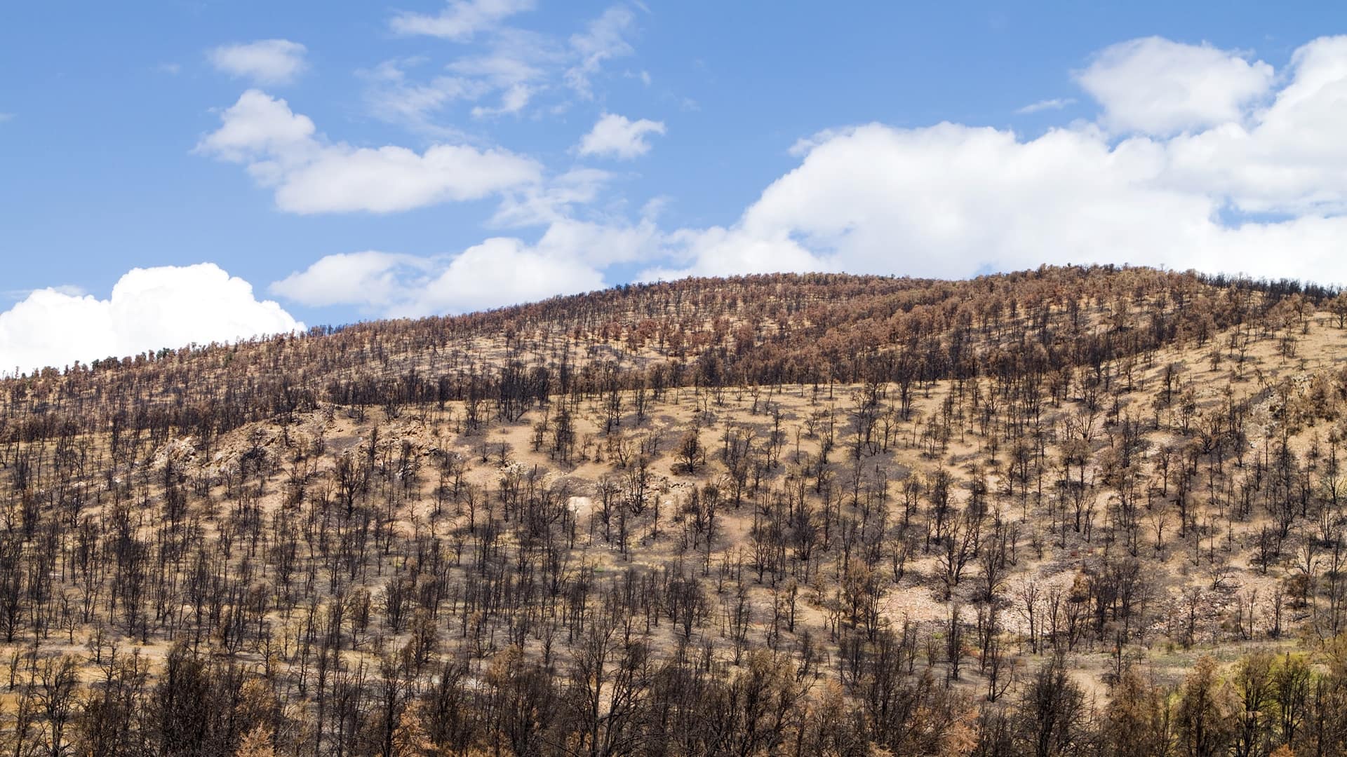
NASA’s tools provide an important input into the models that American Forests creates for a science-based approach to reforestation on burn scars. The nonprofit has developed a restoration plan for the site of the 2018 Camp Fire, California’s deadliest fire that killed 85 people and left a huge swath of forest without trees. In the three years that followed, two more large fires burned nearby.
Austin Rempel, senior manager of American Forests, showed how each of the three burn scars met like puzzle pieces. Something unusual was happening, he said.
The fires had also managed to destroy the landscape in a way that trees weren’t going to naturally return.
“If you lose all of your trees that can produce cones, you’re in trouble,” Rempel said, referring to the importance of the seeds housed inside those cones. “Without intervention, there will be no trees.”
As a result, his group and others are building a forest that will be better equipped for what’s coming, be it more fires and worsening climate conditions. Using GIS, the group determined that the seeds of trees grown in and around Redding, California have adapted to higher temperatures and would be better suited for planting in the Camp Fire burn area as it’s brought back to life.
Experts in fire behavior, forest management, and disaster response hope some of the state and federal funding goes to increasing data collection at the local level to help make communities more resilient, doing more to reduce fuels in forests statewide, and additional research.
“We still don’t have a good handle on predicting extreme fire behavior,” said Craig Clements, director of the Wildfire Interdisciplinary Research Center.
Big fires, even intense fires, have been happening for a really long time, said Matt Jolly, a US Forest Service ecologist. What’s different now is that fires are “more present in people’s lives,” forcing people to think about them in a different way. “One way that thinking needs to change is understanding that not all fire is bad fire,” said Ryan Lanclos, director of public safety solutions for Esri. Technology can help provide the public context about why a fire is being allowed to burn in a controlled way in order to maintain environmental balance.
A healthy forest “is going to be a place where fire is part of that forest,” Jolly said.
He said it may also be time to rethink the use of Smokey the Bear, the longtime forest mascot that signals in mountain-area signposts whether the fire danger is low, moderate, high, very high, or extreme that day. The key is clearly informing local communities about the latest fire conditions without overwhelming them with data.
“In the end, we have to use these tools to communicate simple things to communities that are actionable,” Jolly said.
Learn more about how GIS provides firefighters with tools to identify, analyze, and understand the landscape.