Seattle Police Department Boosts Event Security with Real-Time Digital Systems
Law enforcement utilizes real-time data, a mobile-optimized dashboard, and pre-planning tools for enhanced situational awareness.
Law enforcement utilizes real-time data, a mobile-optimized dashboard, and pre-planning tools for enhanced situational awareness.
The Philadelphia Police Department uses ArcGIS technology to reduce and investigate crimes.
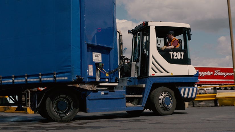
Ferry operator P&O Ferries uses Esri ArcGIS technology for load planning, which saves in vessel turnaround time and about $276,000 annually.
Use ArcGIS Indoors to navigate to offices, locate safety and security equipment, find events, and monitor security issues in the workplace.
Learn how to set up Operations Dashboard for ArcGIS to automatically focus on the latest event like an earthquake.
Learn about weather concepts and how to create a map of real-time weather data in this ArcGIS Lesson.
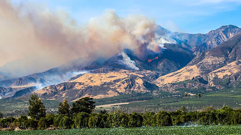
The Ventura County Fire Department in California used GIS to create maps of the Thomas Fire, providing valuable situational awareness.
In the new frontier of real-time GIS, Esri's ArcGIS GeoEvent Processor for Server ingests data streaming in from sources such as...
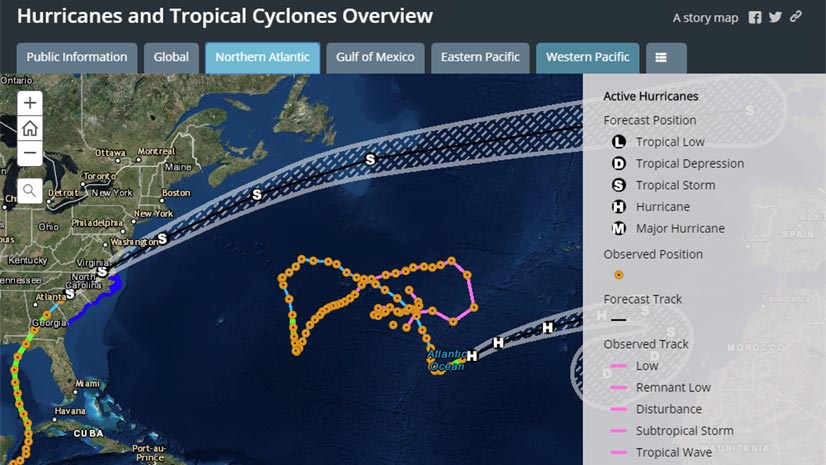
When hurricanes and other disasters strike, the Esri Disaster Response Program (DRP) steps up to help with data, software, and configurable apps.
See the current height and flow data for rivers in the United States using the new Live Stream Gauges Map available to ArcGIS Online users.
You can add real-time information into an Esri Story Map Tour such as web traffic cam feeds. Esri's Bern Szukalski demonstrates how to do this...
At the new Chicago Police Department command and control center, officers can monitor incidents in real time using digital maps.