The New Geodesign Generation
Penn State geodesign students took their GIS, environmental, and urban design skills and applied them to a real-life situation.
Penn State geodesign students took their GIS, environmental, and urban design skills and applied them to a real-life situation.
Explore architectural projects in virtual reality (VR) using ArcGIS 360 VR, edit terrain, and import scenarios into Unreal Engine.
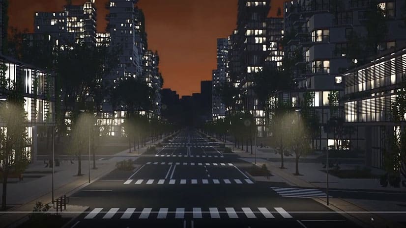
Learn how GIS technology and game engine software was used to create a realistic 3D urban environment for reviewing development proposals.
A Danish engineering and architectural consulting firm uses ArcGIS CityEngine to quickly model buildings and terrain for a variety of projects.
Join Stefan Arisona from the Zurich R & D Center for a fascinating introduction to building game engine experiences with ArcGIS CityEngine.