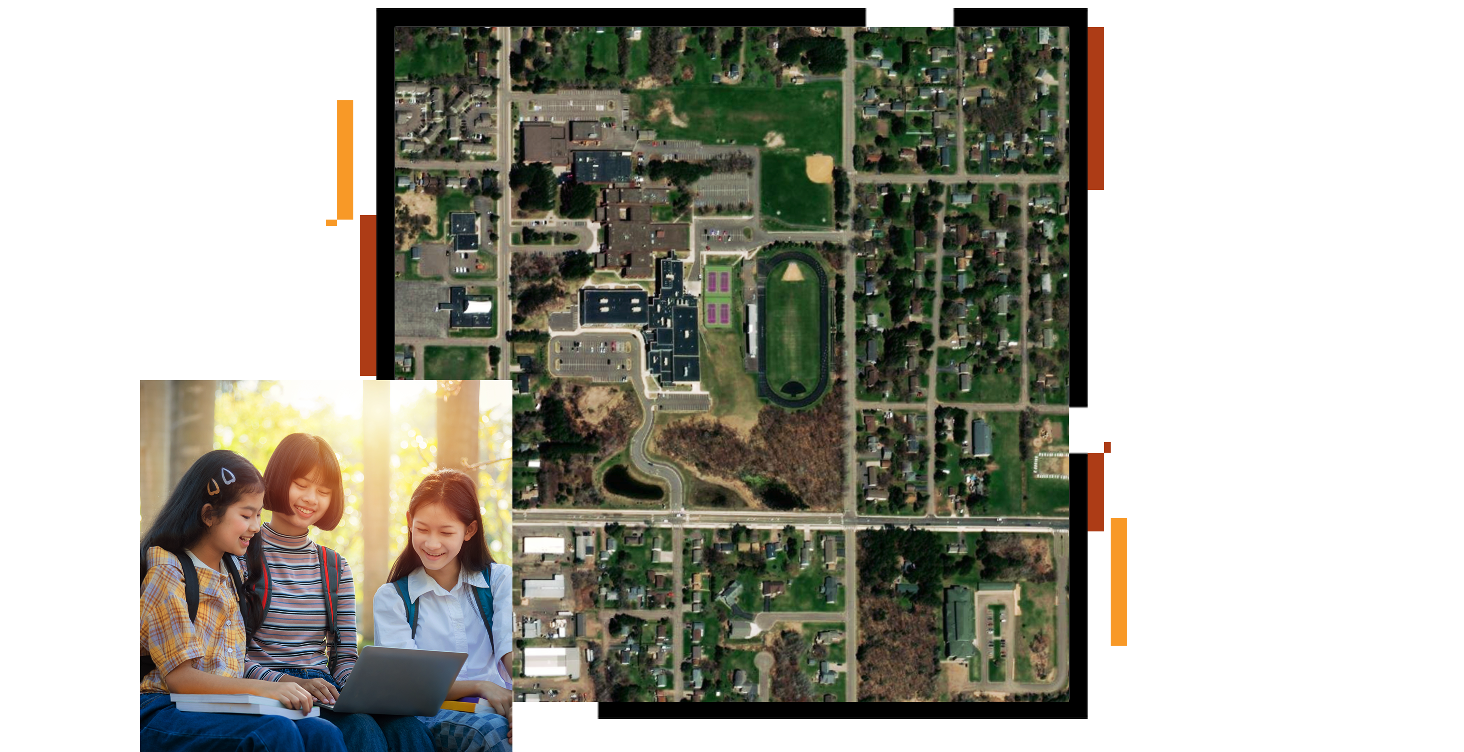
Get started with ArcGIS Online
Bring map activities and projects to your clubs and kids
Data surrounds and influences us. Outside the classroom, students can evaluate, understand, collect, and analyze information by using GIS to turn data into maps and apps. A problem to solve becomes a project that turns kids into collaborators working on service learning, data science, and solution design.
Investigate the world with 2D and 3D maps. Use map content curated for topics of interest to youth. With National Geographic MapMaker, create your own maps and share them with the club.
Set youth on meaningful and rewarding career paths. GIS technology opens up a world of opportunity for your club members.
Let youth dive into topics with solo and collaborative projects. Use GIS to explore questions, generate data, and build maps to solve problems. Build presentations to communicate your findings with each other, your community, or the world.
This tiny club in a tiny town in a great big state uses GIS underground and in the classroom, earning multiple awards.
4-H youth use their heads, hearts, hands, and health to help club, community, country, and world. They also use GIS.
Informal educator Sandra Turner leads student explorers in a study of oceans and climate change, from a Caribbean perspective.
Get started with ArcGIS Online
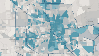
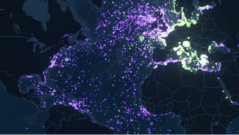
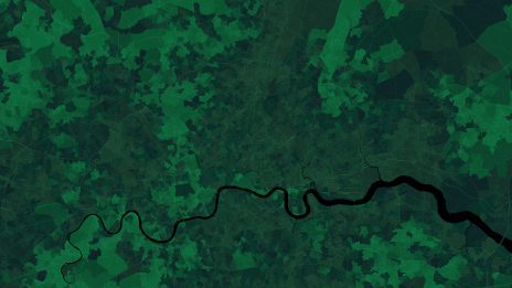
Explore spatial analysis
ArcGIS StoryMaps tutorials
ArcGIS for schools
GeoProjects
Essential ArcGIS Online skills
ArcGIS Survey123 tutorial